Gas station nearby Sonol Kfar Hasidim
Israel
Gas station nearby Sonol Kfar Hasidim
Sonol Kfar Hasidim
Kfar Hasidim, Israel
contacts phone
:
+972 54-673-3728
website:
www.sonol.co.il
Latitude:
32.760876
, Longitude:
35.090963
larger map & directions
read more
nearest Gas station
2.795 km
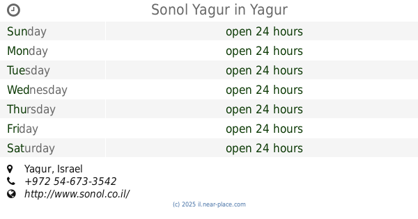
Sonol Yagur
Yagur
Gas station
read more
2.795 km
סונול יגור
יגור
Gas station
read more
3.488 km
מבואות אתא
Israel
Gas station
read more
3.763 km
Gas station
780, Kiryat Ata
Gas station
read more
3.901 km
Mifgash Shalev
Israel
Gas station
read more
4.138 km
Сонол
Nesher
Gas station
read more
4.138 km
תחנת דלק סונול
נשר
Gas station
read more
4.316 km
תחנת צומת הנשרים
Bar Yehuda Road 89, Nesher
Gas station
read more
4.45 km
Golden eagles Junction
Bar Yehuda Road 89, Nesher
Gas station
read more
4.682 km
לוטוס אנרגיה-פינוי שמן משומש למיחזור( איסוף שמנים משומשים)פינוי אמולסיה,שאיבת שמן שרוף,פינוי דלקים
ת.ד 338 מיקוד 31002, התעשייה 21 נשר, Haifa
Gas station
read more
4.744 km
תחנת דלק אלון
Unnamed Road, Kiryat Ata
Gas station
read more
5.062 km
פז קרית אתא
דרך חיפה, קרית אתא
Gas station
read more
5.062 km
Paz Kiryat Ata
Derech Haifa, Kiryat Ata
Gas station
read more
5.228 km
Sonol Isfiya
Isfiya
Gas station
read more
5.228 km
סונול עוספיה
עיספיא
Gas station
read more
5.485 km
תחנת דלק דלק חרמש
Ha-Khermesh Street 20, Haifa
Gas station
read more
5.799 km
דרך העמקים
דרך העמקים, חיפה
Gas station
read more
5.83 km
Park ha-Rekhev
Haifa
Gas station
read more
5.894 km
דלק חוצות המפרץ
שדרות ההסתדרות 163, חיפה
Gas station
read more
5.894 km
דלק חוצות המפרץ
HaHistadrut Avenue 163, Haifa
Gas station
read more
5.989 km
יעד
6, Derech Moshe Dayan 12, Haifa
Gas station
read more
6.006 km
תחנת דלק דיסקאונט
שדרות ההסתדרות 72, חיפה
Gas station
read more
6.011 km
דלק
שדרות ההסתדרות 70, חיפה
Gas station
read more
6.079 km
Dor Alon
HaHistadrut Avenue 61, Haifa
Gas station
read more
6.303 km
Sonol Moshe Dayan
Derech Moshe Dayan 26, Haifa
Gas station
read more
📑
all categories
Accounting
Administrative area level 1
Administrative area level 2
Airport
Amusement park
Aquarium
Art gallery
Atm
Bakery
Bank
Bar
Beauty salon
Bicycle store
Book store
Bowling alley
Bus station
Cafe
Campground
Car dealer
Car rental
Car repair
Car wash
Casino
Cemetery
Church
City hall
Clothing store
Colloquial area
Convenience store
Country
Courthouse
Dentist
Department store
Doctor
Electrician
Electronics store
Embassy
Establishment
Finance
Fire station
Florist
Food
Funeral home
Furniture store
Gas station
General contractor
Grocery or supermarket
Gym
Hair care
Hardware store
Health
Hindu Temple
Home goods store
Hospital
Insurance agency
Intersection
Jewelry store
Laundry
Lawyer
Library
Light rail station
Liquor store
Local government office
Locality
Locksmith
Lodging
Meal delivery
Meal takeaway
Mosque
Movie rental
Movie theater
Moving company
Museum
Natural feature
Neighborhood
Night club
Painter
Park
Parking
Pet store
Pharmacy
Physiotherapist
Place of worship
Plumber
Point of interest
Police
Political
Post office
Premise
Real estate agency
Restaurant
Roofing contractor
Route
Rv park, camping
School
Shoe store
Shopping mall
Spa
Stadium
Storage
Store
Subpremise
Subway station
Supermarket
Synagogue
Taxi stand
Train station
Transit station
Travel agency
University
Veterinary care
Zoo
administrative area level 3
administrative area level 4
sublocality level 1
↑