Gas station nearby דרך העמקים
Coronavirus disease (COVID-19) Situation
confirmed cases
4841772
deaths
12707
Israel
Gas station nearby דרך העמקים
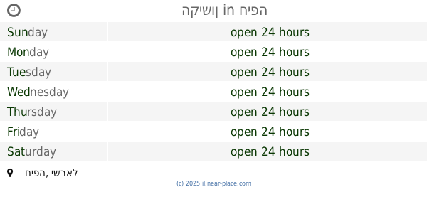
דרך העמקים
דרך העמקים, חיפה, חיפה, IL ישראל
contacts phone
:
+972
Latitude:
32.7880069
, Longitude:
35.0379837
larger map & directions
read more
nearest Gas station
17 m
Dor Alon
בעלי מלאכה, Derech Ha'Amakim 16, Haifa
Gas station
read more
17 m
תחנת תדלוק דור-אלון - שערי חיפה
בעלי מלאכה, דרך העמקים 16, חיפה
Gas station
read more
147 m
Ten חיפה צ'ק פוסט
יעקב מושלי 20, חיפה
Gas station
read more
153 m
PAZ Lev HaMifrats
Haifa
Gas station
read more
189 m
Heart Paz bay
Derech Ha'Amakim, Haifa
Gas station
read more
189 m
פז לב המפרץ
דרך העמקים, חיפה
Gas station
read more
350 m
Dezol
Ha-Khermesh Street 2, Haifa
Gas station
read more
371 m
דלק חרמש
Ha-Khermesh Street 20, Haifa
Gas station
read more
371 m
דלק חרמש
החרמש 20, חיפה
Gas station
read more
377 m
תחנת דלק דלק חרמש
החרמש 20, חיפה
Gas station
read more
377 m
תחנת דלק דלק חרמש
Ha-Khermesh Street 20, Haifa
Gas station
read more
545 m
Tapuz Petrol Station
Bareket Street 6, Haifa
Gas station
read more
598 m
דלק
שדרות ההסתדרות 70, חיפה
Gas station
read more
598 m
Delek
HaHistadrut Avenue 70, Haifa
Gas station
read more
610 m
תחנת דלק דיסקאונט
שדרות ההסתדרות 72, חיפה
Gas station
read more
610 m
תחנת דלק דיסקאונט
HaHistadrut Avenue 72, Haifa
Gas station
read more
700 m
דור אלון
שדרות ההסתדרות 61, חיפה
Gas station
read more
700 m
Dor Alon
HaHistadrut Avenue 61, Haifa
Gas station
read more
714 m
סונול אופיר צק פוסט
בר יהודה 131, חיפה
Gas station
read more
731 m
דלק צ'ק פוסט
מקלף 5, חיפה
Gas station
read more
731 m
דלק צ'ק פוסט
Maklef Street 5, Haifa
Gas station
read more
770 m
פז חוואסה
דרך בר יהודה, חיפה
Gas station
read more
770 m
Paz Hawass
Bar Yehuda Road, Haifa
Gas station
read more
819 m
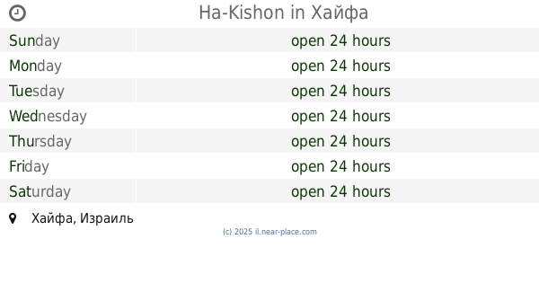
הקישון
חיפה
Gas station
read more
819 m
Ha-Kishon
Haifa
Gas station
read more
📑
all categories
Accounting
Administrative area level 1
Administrative area level 2
Airport
Amusement park
Aquarium
Art gallery
Atm
Bakery
Bank
Bar
Beauty salon
Bicycle store
Book store
Bowling alley
Bus station
Cafe
Campground
Car dealer
Car rental
Car repair
Car wash
Casino
Cemetery
Church
City hall
Clothing store
Colloquial area
Convenience store
Country
Courthouse
Dentist
Department store
Doctor
Electrician
Electronics store
Embassy
Establishment
Finance
Fire station
Florist
Food
Funeral home
Furniture store
Gas station
General contractor
Grocery or supermarket
Gym
Hair care
Hardware store
Health
Hindu Temple
Home goods store
Hospital
Insurance agency
Intersection
Jewelry store
Laundry
Lawyer
Library
Light rail station
Liquor store
Local government office
Locality
Locksmith
Lodging
Meal delivery
Meal takeaway
Mosque
Movie rental
Movie theater
Moving company
Museum
Natural feature
Neighborhood
Night club
Painter
Park
Parking
Pet store
Pharmacy
Physiotherapist
Place of worship
Plumber
Point of interest
Police
Political
Post office
Premise
Real estate agency
Restaurant
Roofing contractor
Route
Rv park, camping
School
Shoe store
Shopping mall
Spa
Stadium
Storage
Store
Subpremise
Subway station
Supermarket
Synagogue
Taxi stand
Train station
Transit station
Travel agency
University
Veterinary care
Zoo
administrative area level 3
administrative area level 4
sublocality level 1
↑