Synagogue nearby Central Synagogue
Israel
Synagogue nearby Central Synagogue
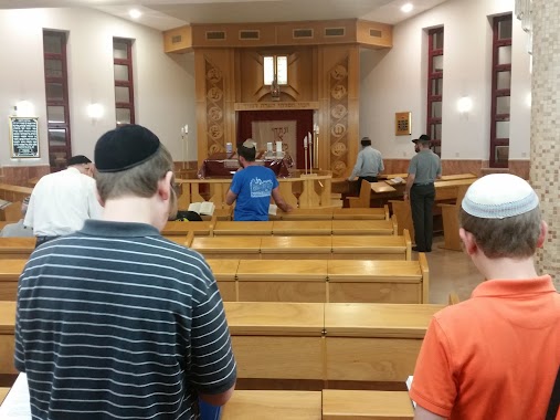
Central Synagogue
Mitspe Yeriho
contacts phone
:
+972
Latitude:
31.814735
, Longitude:
35.396097
larger map & directions
read more
nearest Synagogue
ביכ מרכזי
מצפה יריחו
Synagogue
read more
405 m
בית כנסת ספרדי
מצפה יריחו
Synagogue
read more
405 m
Sephardic Synagogue
Mitspe Yeriho
Synagogue
read more
421 m
בית כנסת זכרון מנשה
מצפה יריחו
Synagogue
read more
467 m
Yemenite Synagogue
Mitspe Yeriho
Synagogue
read more
467 m
בית כנסת תימני
מצפה יריחו
Synagogue
read more
9.636 km
Ma'alot David Synagogue
Ma'ale Adumim
Synagogue
read more
9.636 km
בי"כ מעלות דוד
מעלה אדומים
Synagogue
read more
10.289 km
Synagogue central
Ma'ale Adumim
Synagogue
read more
10.429 km
Heikhal Avi'ad Synagogue
Ma'ale Adumim
Synagogue
read more
10.429 km
ביכ היכל אביעד
מעלה אדומים
Synagogue
read more
10.701 km
בית חב''ד 06 מעלה אדומים
דרך צמח השדה 14/8, מעלה אדומים
Synagogue
read more
13.426 km
בית הכנסת משכן אברהם
ירושלים
Synagogue
read more
13.822 km
Pisgat Moriya Synagogue
Jerusalem
Synagogue
read more
13.891 km
Beit Yitzhak Synagogue
Moshe Gvirtsman Street 5, Jerusalem
Synagogue
read more
14.256 km
Gabriel synagogue Ohel Avraham
Jerusalem
Synagogue
read more
14.442 km
בית הכנסת האשכנזי
Kheil ha-Kesher Street, Jerusalem
Synagogue
read more
14.474 km
בית הכנסת בית יעקוב
ירושלים
Synagogue
read more
14.474 km
Temple Beth Jacob
Jerusalem
Synagogue
read more
14.822 km
בית חבד נווה יעקב
ויקטור ויוליוס 607, ירושלים
Synagogue
read more
14.822 km
בית חבד נווה יעקב
Victor ve-Yulius Street 607, Jerusalem
Synagogue
read more
14.985 km
בית הכנסת המרכזי
HaHagana Street, Jerusalem
Synagogue
read more
16.092 km
מרכז רוחני "נווה הדר ציון"
טירת כסף, כוכב יעקב
Synagogue
read more
16.375 km
Breslov synagogue - Rabbi Itzhk Gor
11 אהבת ישראל, כוכב יעקב
Synagogue
read more
16.389 km
בתי כנסת עש מרג'ורי וארצ'י שרמן
Palestine, Avshalom Haviv Street, Jerusalem
Synagogue
read more
📑
all categories
Accounting
Administrative area level 1
Administrative area level 2
Airport
Amusement park
Aquarium
Art gallery
Atm
Bakery
Bank
Bar
Beauty salon
Bicycle store
Book store
Bowling alley
Bus station
Cafe
Campground
Car dealer
Car rental
Car repair
Car wash
Casino
Cemetery
Church
City hall
Clothing store
Colloquial area
Convenience store
Country
Courthouse
Dentist
Department store
Doctor
Electrician
Electronics store
Embassy
Establishment
Finance
Fire station
Florist
Food
Funeral home
Furniture store
Gas station
General contractor
Grocery or supermarket
Gym
Hair care
Hardware store
Health
Hindu Temple
Home goods store
Hospital
Insurance agency
Intersection
Jewelry store
Laundry
Lawyer
Library
Light rail station
Liquor store
Local government office
Locality
Locksmith
Lodging
Meal delivery
Meal takeaway
Mosque
Movie rental
Movie theater
Moving company
Museum
Natural feature
Neighborhood
Night club
Painter
Park
Parking
Pet store
Pharmacy
Physiotherapist
Place of worship
Plumber
Point of interest
Police
Political
Post office
Premise
Real estate agency
Restaurant
Roofing contractor
Route
Rv park, camping
School
Shoe store
Shopping mall
Spa
Stadium
Storage
Store
Subpremise
Subway station
Supermarket
Synagogue
Taxi stand
Train station
Transit station
Travel agency
University
Veterinary care
Zoo
administrative area level 3
administrative area level 4
sublocality level 1
↑