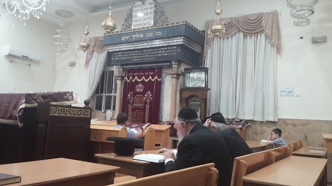
Synagogue nearby בית כנסת אור אלחנן
Israel
Synagogue nearby בית כנסת אור אלחנן
בית כנסת אור אלחנן
27, אהליאב, ירושלים, IL ישראל
contacts phone
:
+972
Latitude:
31.7926829
, Longitude:
35.2022449
larger map & directions
read more
nearest Synagogue
129 m
בית הכנסת שארית ישראל
Rishon LeTsiyon Street 10, Jerusalem
Synagogue
read more
166 m
בית הכנסת בנין אריאל
Aholiav Street 30, Jerusalem
Synagogue
read more
377 m
בית כנסת כנסת יעקב
Petakh Tikva Street 16, Jerusalem
Synagogue
read more
571 m
בית הכנסת איגוד רבני קהילות ליפתא
Ben Gurion Boulevard 128, Jerusalem
Synagogue
read more
616 m
היכל יעקב
הרב ריינס 17, ירושלים
Synagogue
read more
659 m
בית כנסת זכרון קדושים
דגל ראובן, ירושלים
Synagogue
read more
675 m
מניין קרליבך קמש
בן ציון 7, ירושלים
Synagogue
read more
694 m
Or Yom Tov Synagogue
9, Gesher HaHayim 21, Jerusalem
Synagogue
read more
740 m
Synagogue Zupnik
Giv'at Sha'ul Street 7, Jerusalem
Synagogue
read more
740 m
בית כנסת זופניק
גבעת שאול 7, ירושלים
Synagogue
read more
741 m
שטיבל גור צעירים
5, Yehuda HaMaccabi Street, Jerusalem
Synagogue
read more
769 m
שטיבל גור - ברנדייס
Luis Brandeis Street 2, Jerusalem
Synagogue
read more
821 m
בית כנסת משכן באבד
בעל השאילתות 25, ירושלים
Synagogue
read more
881 m
בית כנסת הבית הלבן
גת 8, ירושלים
Synagogue
read more
891 m
ביהכנסשערי תורה
Kiryat Moshe Street 1, Jerusalem
Synagogue
read more
895 m
עץ יוסף
בעל השאילתות 14, ירושלים
Synagogue
read more
898 m
בית כנסת אהל יהונתן
עמרם גאון 7, ירושלים
Synagogue
read more
901 m
מגדל אשר
Shafran Street, Jerusalem
Synagogue
read more
924 m
בית כנסת ישראל הצעיר Young Israel of Claremont Parkway
בן ציון 28, ירושלים
Synagogue
read more
928 m
אהבת תורה
תורת חסד 1, ירושלים
Synagogue
read more
976 m
בית הכנסת חבד ליובאוויטש - היכל לוי יצחק
חנה 21, ירושלים
Synagogue
read more
1.005 km
בית הכנסת אהל אברהם
רשב"ם 9, ירושלים
Synagogue
read more
1.15 km
Moses Midrash Synagogue
Kosovski Street 9, Jerusalem
Synagogue
read more
1.171 km
אורות החומה
HaRav Yitshak Nisim Street 51, Jerusalem
Synagogue
read more
1.193 km
ביהכ אגודת צעירי פרס
Agripas Street 129, Jerusalem
Synagogue
read more
📑
all categories
Accounting
Administrative area level 1
Administrative area level 2
Airport
Amusement park
Aquarium
Art gallery
Atm
Bakery
Bank
Bar
Beauty salon
Bicycle store
Book store
Bowling alley
Bus station
Cafe
Campground
Car dealer
Car rental
Car repair
Car wash
Casino
Cemetery
Church
City hall
Clothing store
Colloquial area
Convenience store
Country
Courthouse
Dentist
Department store
Doctor
Electrician
Electronics store
Embassy
Establishment
Finance
Fire station
Florist
Food
Funeral home
Furniture store
Gas station
General contractor
Grocery or supermarket
Gym
Hair care
Hardware store
Health
Hindu Temple
Home goods store
Hospital
Insurance agency
Intersection
Jewelry store
Laundry
Lawyer
Library
Light rail station
Liquor store
Local government office
Locality
Locksmith
Lodging
Meal delivery
Meal takeaway
Mosque
Movie rental
Movie theater
Moving company
Museum
Natural feature
Neighborhood
Night club
Painter
Park
Parking
Pet store
Pharmacy
Physiotherapist
Place of worship
Plumber
Point of interest
Police
Political
Post office
Premise
Real estate agency
Restaurant
Roofing contractor
Route
Rv park, camping
School
Shoe store
Shopping mall
Spa
Stadium
Storage
Store
Subpremise
Subway station
Supermarket
Synagogue
Taxi stand
Train station
Transit station
Travel agency
University
Veterinary care
Zoo
administrative area level 3
administrative area level 4
sublocality level 1
↑