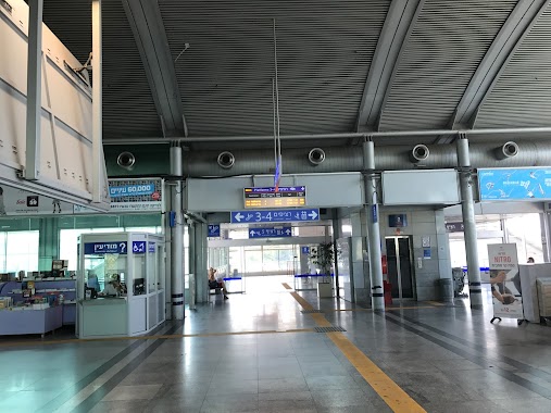
Train station nearby Yavneh Ma'arav West
Israel
Train station nearby Yavneh Ma'arav West
Yavneh Ma'arav West
Явне, Израиль
contacts phone
:
+972
website:
www.rail.co.il
Latitude:
31.891191
, Longitude:
34.7314322
larger map & directions
read more
nearest Train station
3.475 km
יבנה מזרח
יבנה
Train station
read more
7.321 km
רחובות
Israel
Train station
read more
9.301 km
ראשונים
הרצל 149, ראשון לציון
Train station
read more
9.301 km
Ha - Rishonim
Herzl Street 149, Rishon LeTsiyon
Train station
read more
10.278 km
באר יעקב
באר יעקב
Train station
read more
10.278 km
באר יעקב
Be'er Ya'akov
Train station
read more
10.278 km
Be'er Ya'akov
Be'er Ya'akov
Train station
read more
11.019 km
Rishon LeZion Moshe Dayan Station
Moshe Dayan St, Rishon LeTsiyon
Train station
read more
11.019 km
Rishon LeZion Moshe Dayan Station
Moshe Dayan Street, Rishon LeTsiyon
Train station
read more
11.019 km
Ришон-Ле-Цион станция им. Моше Даяна
Moshe Dayan Street, Rishon LeTsiyon
Train station
read more
12.49 km
בת ים קוממיות
חולון
Train station
read more
12.49 km
Бат Ям - Комэмиют
Holon
Train station
read more
14.02 km
Bat Yam-Yoseftal Station
Bat Yam
Train station
read more
14.02 km
תחנת בת ים - יוספטל
בת ים
Train station
read more
14.37 km
Ramla
Ramla
Train station
read more
14.412 km
Ashdod Ad Halom
Ashdod
Train station
read more
14.412 km
אשדוד עד הלום
אשדוד
Train station
read more
14.828 km
Lod
Israel
Train station
read more
16.138 km
Kfar Habad
1 הגאולה, Kfar Habad
Train station
read more
16.241 km
לוד גני-אביב
Israel
Train station
read more
17.871 km
נת-בג
Israel
Train station
read more
17.871 km
Ben Gurion Airport
Israel
Train station
read more
18.801 km
Тель Авив - Хагана
Tel Aviv-Yafo
Train station
read more
18.905 km
Меркозит централ
Levinsky 108, Tel Aviv-Yafo
Train station
read more
21.641 km
פאתי מודיעין
מודיעין מכבים רעות
Train station
read more
📑
all categories
Accounting
Administrative area level 1
Administrative area level 2
Airport
Amusement park
Aquarium
Art gallery
Atm
Bakery
Bank
Bar
Beauty salon
Bicycle store
Book store
Bowling alley
Bus station
Cafe
Campground
Car dealer
Car rental
Car repair
Car wash
Casino
Cemetery
Church
City hall
Clothing store
Colloquial area
Convenience store
Country
Courthouse
Dentist
Department store
Doctor
Electrician
Electronics store
Embassy
Establishment
Finance
Fire station
Florist
Food
Funeral home
Furniture store
Gas station
General contractor
Grocery or supermarket
Gym
Hair care
Hardware store
Health
Hindu Temple
Home goods store
Hospital
Insurance agency
Intersection
Jewelry store
Laundry
Lawyer
Library
Light rail station
Liquor store
Local government office
Locality
Locksmith
Lodging
Meal delivery
Meal takeaway
Mosque
Movie rental
Movie theater
Moving company
Museum
Natural feature
Neighborhood
Night club
Painter
Park
Parking
Pet store
Pharmacy
Physiotherapist
Place of worship
Plumber
Point of interest
Police
Political
Post office
Premise
Real estate agency
Restaurant
Roofing contractor
Route
Rv park, camping
School
Shoe store
Shopping mall
Spa
Stadium
Storage
Store
Subpremise
Subway station
Supermarket
Synagogue
Taxi stand
Train station
Transit station
Travel agency
University
Veterinary care
Zoo
administrative area level 3
administrative area level 4
sublocality level 1
↑