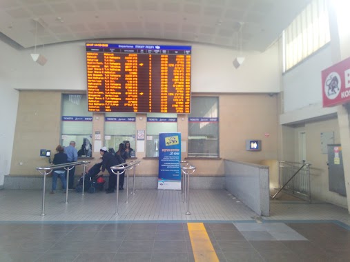
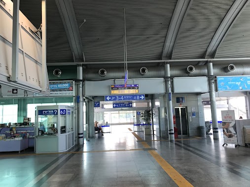
Train station nearby ראש העין-צפון
Israel
Train station nearby ראש העין-צפון
ראש העין-צפון
ישראל
contacts phone
:
+972
Latitude:
32.120865
, Longitude:
34.934527
larger map & directions
read more
nearest Train station
3.285 km
Segula
Petah Tikva
Train station
read more
5.415 km
Kfar Sava
Israel
Train station
read more
6.294 km
Hod HaSharon
Sokolov Street, Hod Hasharon
Train station
read more
6.294 km
הוד השרון
סוקולוב, הוד השרון
Train station
read more
6.922 km
Petach Tikva-Qiryat Arye Station
Petah Tikva
Train station
read more
7.325 km
רעננה דרום
Israel
Train station
read more
10.034 km
בני ברק
בני ברק
Train station
read more
10.034 km
Bnei Brak
Bnei Brak
Train station
read more
10.269 km
רעננה מערב
Israel
Train station
read more
12.004 km
הרצליה
Israel
Train station
read more
12.388 km
TA University
95 Rokah Blvd, תל אביב יפו
Train station
read more
12.388 km
Тель-Авив Университет
95 Rokah Blvd, תל אביב יפו
Train station
read more
13.487 km
Тель-Авив - Мерказ - Центральная
Tel Aviv-Yafo
Train station
read more
13.487 km
תל אביב סבידור מרכז
תל אביב יפו
Train station
read more
14.321 km
תחנת השלום
לרחובות, תל אביב יפו
Train station
read more
14.321 km
Tel Aviv Hashalom
לרחובות, Tel Aviv-Yafo
Train station
read more
14.321 km
Hashalom
לרחובות, Tel Aviv-Yafo
Train station
read more
14.69 km
נת-בג
Israel
Train station
read more
14.694 km
Ben Gurion Airport
Israel
Train station
read more
15.938 km
Tel Aviv Ha'Hagana
Tel Aviv-Yafo
Train station
read more
15.938 km
Тель Авив - Хагана
Tel Aviv-Yafo
Train station
read more
16.132 km
Kfar Habad
1 הגאולה, Kfar Habad
Train station
read more
16.276 km
Меркозит централ
Levinsky 108, Tel Aviv-Yafo
Train station
read more
17.56 km
Holon Junction
Tel Aviv-Yafo
Train station
read more
22.966 km
נתניה
נתניה 5, דרך הרכבת
Train station
read more
📑
all categories
Accounting
Administrative area level 1
Administrative area level 2
Airport
Amusement park
Aquarium
Art gallery
Atm
Bakery
Bank
Bar
Beauty salon
Bicycle store
Book store
Bowling alley
Bus station
Cafe
Campground
Car dealer
Car rental
Car repair
Car wash
Casino
Cemetery
Church
City hall
Clothing store
Colloquial area
Convenience store
Country
Courthouse
Dentist
Department store
Doctor
Electrician
Electronics store
Embassy
Establishment
Finance
Fire station
Florist
Food
Funeral home
Furniture store
Gas station
General contractor
Grocery or supermarket
Gym
Hair care
Hardware store
Health
Hindu Temple
Home goods store
Hospital
Insurance agency
Intersection
Jewelry store
Laundry
Lawyer
Library
Light rail station
Liquor store
Local government office
Locality
Locksmith
Lodging
Meal delivery
Meal takeaway
Mosque
Movie rental
Movie theater
Moving company
Museum
Natural feature
Neighborhood
Night club
Painter
Park
Parking
Pet store
Pharmacy
Physiotherapist
Place of worship
Plumber
Point of interest
Police
Political
Post office
Premise
Real estate agency
Restaurant
Roofing contractor
Route
Rv park, camping
School
Shoe store
Shopping mall
Spa
Stadium
Storage
Store
Subpremise
Subway station
Supermarket
Synagogue
Taxi stand
Train station
Transit station
Travel agency
University
Veterinary care
Zoo
administrative area level 3
administrative area level 4
sublocality level 1
↑