Synagogue nearby Steinbach Shul
Israel
Synagogue nearby Steinbach Shul
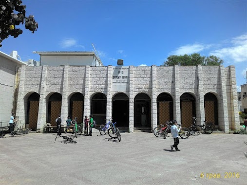
Steinbach Shul
Kfar Habad, Israel
contacts phone
:
+972
Latitude:
31.9857937
, Longitude:
34.8582881
larger map & directions
read more
nearest Synagogue
82 m
בית הכנסת - בית נחום יצחק
221, Kfar Habad
Synagogue
read more
82 m
Synagogue - The Yitzhak Nahum
221, Kfar Habad
Synagogue
read more
745 m
Central Synagogue
59, Kfar Habad
Synagogue
read more
922 m
בית כנסת נצחון ישראל
אחיעזר
Synagogue
read more
922 m
Israel synagogue victory
Ahi'ezer
Synagogue
read more
1.018 km
Beit Menachem
Kfar Habad
Synagogue
read more
1.018 km
בית מנחם
כפר חב"ד
Synagogue
read more
1.059 km
רשבי - שערי אליהו
Kfar Habad
Synagogue
read more
1.146 km
בית כנסת כפר חבד ב'
ישוב כפר, שדרות חב"ד, תל אביב יפו
Synagogue
read more
1.22 km
Lubavitch Hill
Kfar Habad
Synagogue
read more
1.375 km
Synagogue Youth Achiezer help brothers
Ahi'ezer
Synagogue
read more
1.375 km
בית הכנסת המרכזי
Ahi'ezer
Synagogue
read more
1.375 km
בית הכנסת עזרת אחים צעירי אחיעזר
אחיעזר
Synagogue
read more
1.375 km
בית הכנסת המרכזי
אחיעזר
Synagogue
read more
1.396 km
Yossie Raichik Shul
Kfar Habad
Synagogue
read more
1.396 km
יוסי רייטשיק שול
כפר חב"ד
Synagogue
read more
1.453 km
Israel Aryeh Leib Shul
Kfar Habad
Synagogue
read more
1.491 km
Mendel's Shul
Kfar Habad
Synagogue
read more
1.491 km
מענדל'ס שול
כפר חב"ד
Synagogue
read more
1.498 km
יעקב אבינו/בית כנסת גינדי
29, Likutei Sichot Street, Kfar Habad
Synagogue
read more
1.725 km
Synagogue source of life
Ahi'ezer
Synagogue
read more
1.725 km
בית כנסת מקור חיים
אחיעזר
Synagogue
read more
1.775 km
בית הכנסת טל אורות
Tzafria
Synagogue
read more
1.775 km
בית הכנסת טל אורות
צפריה
Synagogue
read more
1.922 km
בית הכנסת רבי מאיר בעל הנס
יגל
Synagogue
read more
📑
all categories
Accounting
Administrative area level 1
Administrative area level 2
Airport
Amusement park
Aquarium
Art gallery
Atm
Bakery
Bank
Bar
Beauty salon
Bicycle store
Book store
Bowling alley
Bus station
Cafe
Campground
Car dealer
Car rental
Car repair
Car wash
Casino
Cemetery
Church
City hall
Clothing store
Colloquial area
Convenience store
Country
Courthouse
Dentist
Department store
Doctor
Electrician
Electronics store
Embassy
Establishment
Finance
Fire station
Florist
Food
Funeral home
Furniture store
Gas station
General contractor
Grocery or supermarket
Gym
Hair care
Hardware store
Health
Hindu Temple
Home goods store
Hospital
Insurance agency
Intersection
Jewelry store
Laundry
Lawyer
Library
Light rail station
Liquor store
Local government office
Locality
Locksmith
Lodging
Meal delivery
Meal takeaway
Mosque
Movie rental
Movie theater
Moving company
Museum
Natural feature
Neighborhood
Night club
Painter
Park
Parking
Pet store
Pharmacy
Physiotherapist
Place of worship
Plumber
Point of interest
Police
Political
Post office
Premise
Real estate agency
Restaurant
Roofing contractor
Route
Rv park, camping
School
Shoe store
Shopping mall
Spa
Stadium
Storage
Store
Subpremise
Subway station
Supermarket
Synagogue
Taxi stand
Train station
Transit station
Travel agency
University
Veterinary care
Zoo
administrative area level 3
administrative area level 4
sublocality level 1
↑