Synagogue nearby Edat Yeshurun Synagogue
Israel
Synagogue nearby Edat Yeshurun Synagogue
Edat Yeshurun Synagogue
Хайфа, Израиль
contacts phone
:
+972
Latitude:
32.8093
, Longitude:
34.994192
larger map & directions
read more
nearest Synagogue
200 m
The synagogue Kupershtoch
Haifa
Synagogue
read more
258 m
בית כנסת יגל יעקב
חיפה
Synagogue
read more
525 m
Chabad of Haifa
Nordau Street 30, Haifa
Synagogue
read more
533 m
תפארת צבי
לבונטין 20, חיפה
Synagogue
read more
679 m
גרעין תורני חיפה הדר
Arlozorov Street 30, Haifa
Synagogue
read more
679 m
גרעין תורני חיפה הדר
ארלוזורוב 30, חיפה
Synagogue
read more
696 m
שטיבל גור
Haifa
Synagogue
read more
707 m
בית הכנסת אליהו הנביא
Sha'ar ha-Levanon Street 4, Haifa
Synagogue
read more
707 m
בית הכנסת אליהו הנביא
שער הלבנון 4, חיפה
Synagogue
read more
714 m
בית כנסת בני תורה
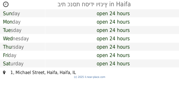
Michael Street 1, Haifa
Synagogue
read more
718 m
בית כנסת חסידי ויזניץ
Michael Street 1, Haifa
Synagogue
read more
739 m
שטיבל גור צעירים
הרב הרצוג 5, חיפה
Synagogue
read more
743 m
בית הכנסת הגדול
הרצל 60, חיפה
Synagogue
read more
756 m
The Central Synagogue
Haifa
Synagogue
read more
756 m
היכל הברכה
Michael Street 5, Haifa
Synagogue
read more
854 m
בית הכנסת עולי סוריה ולבנון
חיפה
Synagogue
read more
868 m
בית כנסת ברסלב
בית"ר 1, חיפה
Synagogue
read more
896 m
מרכז תורני אזורי - בית הכנסת חתם סופר ערלוי - Regional religious center - Chatam
Yalag Street 11, Haifa
Synagogue
read more
896 m
בית כנסת נדבורנה
מיכאל 17, חיפה
Synagogue
read more
970 m
בית-כנסת עידן
Haifa
Synagogue
read more
995 m
בית אליהו
מאיר רוטברג 43, חיפה
Synagogue
read more
995 m
Beit Eliahu
Me'ir Rutberg Street 43, Haifa
Synagogue
read more
1.032 km
מוסדות צאנז חיפה
מיכאל 32, חיפה
Synagogue
read more
1.042 km
Netzach Israel The German Colony Haifa
Sderot Ben Gurion 57, Haifa
Synagogue
read more
1.043 km
בית כנסת אגודת ישראל
זבולון 10, קרית אתא
Synagogue
read more
📑
all categories
Accounting
Administrative area level 1
Administrative area level 2
Airport
Amusement park
Aquarium
Art gallery
Atm
Bakery
Bank
Bar
Beauty salon
Bicycle store
Book store
Bowling alley
Bus station
Cafe
Campground
Car dealer
Car rental
Car repair
Car wash
Casino
Cemetery
Church
City hall
Clothing store
Colloquial area
Convenience store
Country
Courthouse
Dentist
Department store
Doctor
Electrician
Electronics store
Embassy
Establishment
Finance
Fire station
Florist
Food
Funeral home
Furniture store
Gas station
General contractor
Grocery or supermarket
Gym
Hair care
Hardware store
Health
Hindu Temple
Home goods store
Hospital
Insurance agency
Intersection
Jewelry store
Laundry
Lawyer
Library
Light rail station
Liquor store
Local government office
Locality
Locksmith
Lodging
Meal delivery
Meal takeaway
Mosque
Movie rental
Movie theater
Moving company
Museum
Natural feature
Neighborhood
Night club
Painter
Park
Parking
Pet store
Pharmacy
Physiotherapist
Place of worship
Plumber
Point of interest
Police
Political
Post office
Premise
Real estate agency
Restaurant
Roofing contractor
Route
Rv park, camping
School
Shoe store
Shopping mall
Spa
Stadium
Storage
Store
Subpremise
Subway station
Supermarket
Synagogue
Taxi stand
Train station
Transit station
Travel agency
University
Veterinary care
Zoo
administrative area level 3
administrative area level 4
sublocality level 1
↑