Synagogue nearby בית הכנסת משכן רחל
Coronavirus disease (COVID-19) Situation
confirmed cases
4841772
deaths
12707
Israel
Synagogue nearby בית הכנסת משכן רחל
בית הכנסת משכן רחל
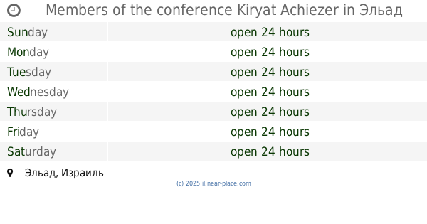
Эльад, Израиль
contacts phone
:
+972
Latitude:
32.052479
, Longitude:
34.9498224
larger map & directions
read more
nearest Synagogue
194 m
בית הכנסת קול יעקב ספרדי
אלעד
Synagogue
read more
234 m
Members of the conference Kiryat Achiezer
El'ad
Synagogue
read more
388 m
Synagogue and Beit Midrash Mikor Chaim
El'ad
Synagogue
read more
428 m
בית כנסת השכונתי אבי עזרי
שמעיה 16, אלעד
Synagogue
read more
466 m
לקח טוב
Shamai Street 13, El'ad
Synagogue
read more
563 m
ביהכ שם הגדולים
El'ad
Synagogue
read more
579 m
בית כנסת סלונים
רבן יוחנן בן זכאי 20, אלעד
Synagogue
read more
584 m
Chesed L'Avraham Synagogue
El'ad
Synagogue
read more
652 m
בית הכנסת עץ חיים
אלעד
Synagogue
read more
709 m
בית כנסת משכן יעקב וחנה
מאיר 15-17, אלעד
Synagogue
read more
755 m
המרכז הרוחני לתורה ולתפילה זכרון דליה
רשב"ם 3-23, אלעד
Synagogue
read more
755 m
Spiritual Center for Torah and Prayer "Zichron Dahlia"
Rashbam Street 3-23, El'ad
Synagogue
read more
771 m
Sha'are Rachamim Synagogue and Beit Midrash
El'ad
Synagogue
read more
905 m
בית הכנסת ובית המדרש תורת חסד
אלעד
Synagogue
read more
913 m
בית כנסת מגן אברהם
אלעד
Synagogue
read more
913 m
בית כנסת מגן אברהם
El'ad
Synagogue
read more
928 m
Stiblc Or Sharga
Ibn Gabirol Street 30, El'ad
Synagogue
read more
928 m
שטיבלך מאור שרגא
אבן גבירול 30, אלעד
Synagogue
read more
931 m
Akhvat Akhim Synagogue
El'ad
Synagogue
read more
931 m
בית הכנסת אחוות אחים
אלעד
Synagogue
read more
947 m
בית הכנסת מאור שרגא
אבן גבירול 24, אלעד
Synagogue
read more
948 m
ביכ קהילת אהל יעקב
אלעד
Synagogue
read more
963 m
משנות נריה
אלעד
Synagogue
read more
1.138 km
The synagogue and beit midrash Nehemiah central seat
El'ad
Synagogue
read more
1.138 km
בית הכנסת ובית המדרש המרכזי משכן נחמיה
אלעד
Synagogue
read more
📑
all categories
Accounting
Administrative area level 1
Administrative area level 2
Airport
Amusement park
Aquarium
Art gallery
Atm
Bakery
Bank
Bar
Beauty salon
Bicycle store
Book store
Bowling alley
Bus station
Cafe
Campground
Car dealer
Car rental
Car repair
Car wash
Casino
Cemetery
Church
City hall
Clothing store
Colloquial area
Convenience store
Country
Courthouse
Dentist
Department store
Doctor
Electrician
Electronics store
Embassy
Establishment
Finance
Fire station
Florist
Food
Funeral home
Furniture store
Gas station
General contractor
Grocery or supermarket
Gym
Hair care
Hardware store
Health
Hindu Temple
Home goods store
Hospital
Insurance agency
Intersection
Jewelry store
Laundry
Lawyer
Library
Light rail station
Liquor store
Local government office
Locality
Locksmith
Lodging
Meal delivery
Meal takeaway
Mosque
Movie rental
Movie theater
Moving company
Museum
Natural feature
Neighborhood
Night club
Painter
Park
Parking
Pet store
Pharmacy
Physiotherapist
Place of worship
Plumber
Point of interest
Police
Political
Post office
Premise
Real estate agency
Restaurant
Roofing contractor
Route
Rv park, camping
School
Shoe store
Shopping mall
Spa
Stadium
Storage
Store
Subpremise
Subway station
Supermarket
Synagogue
Taxi stand
Train station
Transit station
Travel agency
University
Veterinary care
Zoo
administrative area level 3
administrative area level 4
sublocality level 1
↑