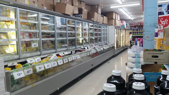
Supermarket nearby נתיב החסד
Israel
Supermarket nearby נתיב החסד
נתיב החסד
Panim Meirot Street 8, Jerusalem Израиль
contacts phone
:
+972
Latitude:
31.7966585
, Longitude:
35.2014681
read more
nearest Supermarket
נתיב החסד
פנים מאירות 8, ירושלים
Supermarket
read more
499 m
בר כל
מנחם משיב 2, ירושלים
Supermarket
read more
506 m
ברכל סניף סורצקין
מנחם משיב 2, ירושלים
Supermarket
read more
506 m
ברכל סניף סורצקין
Menahem Mashiv Street 2, Jerusalem
Supermarket
read more
587 m
זול ובגדול
אהליאב 2-18, ירושלים
Supermarket
read more
587 m
זול ובגדול
Aholiav Street 2-18, Jerusalem
Supermarket
read more
605 m
Shaarei Revacha
Yermiyahu Street 25, Jerusalem
Supermarket
read more
668 m
אושר עד
שמגר 16, ירושלים
Supermarket
read more
668 m
Osher Ad
Shamgar Street 16, Jerusalem
Supermarket
read more
779 m
סופר ספיר
ירושלים
Supermarket
read more
779 m
סופר ספיר
Jerusalem
Supermarket
read more
860 m
מינימרקט מנחת יצחק
Minhat Yitshak Street 20, Jerusalem
Supermarket
read more
860 m
מינימרקט מנחת יצחק
מנחת יצחק 20, ירושלים
Supermarket
read more
873 m
Yenot Bitan
הרב ריינס 6, ירושלים
Supermarket
read more
873 m
יינות ביתן
HaRav Reines Street 6, Jerusalem
Supermarket
read more
993 m
סופרפרש
קרית המדע 3, ירושלים
Supermarket
read more
993 m
Superfresh
Kiryat HaMada Street 3, Jerusalem
Supermarket
read more
1.016 km
אקספרס מרקט
מלכי ישראל 12,פינת הישיבה, Jerusalem
Supermarket
read more
1.022 km
מעיין 2000
יפו 212, ירושלים
Supermarket
read more
1.022 km
Mayan 2000
יפו 212, ירושלים
Supermarket
read more
1.022 km
Mayan 2000
Yafo Street 212, Jerusalem
Supermarket
read more
1.061 km
Yesh
רבי ישראל נג'ארה 2, ירושלים
Supermarket
read more
1.061 km
Yesh
Rabbi Israel Najara Street 2, Jerusalem
Supermarket
read more
1.108 km
Ha-Givah Minimarket
Ben Tsiyon Street 28, Jerusalem
Supermarket
read more
1.108 km
מינימרקט הגבעה
בן ציון 28, ירושלים
Supermarket
read more
📑
all categories
Accounting
Administrative area level 1
Administrative area level 2
Airport
Amusement park
Aquarium
Art gallery
Atm
Bakery
Bank
Bar
Beauty salon
Bicycle store
Book store
Bowling alley
Bus station
Cafe
Campground
Car dealer
Car rental
Car repair
Car wash
Casino
Cemetery
Church
City hall
Clothing store
Colloquial area
Convenience store
Country
Courthouse
Dentist
Department store
Doctor
Electrician
Electronics store
Embassy
Establishment
Finance
Fire station
Florist
Food
Funeral home
Furniture store
Gas station
General contractor
Grocery or supermarket
Gym
Hair care
Hardware store
Health
Hindu Temple
Home goods store
Hospital
Insurance agency
Intersection
Jewelry store
Laundry
Lawyer
Library
Light rail station
Liquor store
Local government office
Locality
Locksmith
Lodging
Meal delivery
Meal takeaway
Mosque
Movie rental
Movie theater
Moving company
Museum
Natural feature
Neighborhood
Night club
Painter
Park
Parking
Pet store
Pharmacy
Physiotherapist
Place of worship
Plumber
Point of interest
Police
Political
Post office
Premise
Real estate agency
Restaurant
Roofing contractor
Route
Rv park, camping
School
Shoe store
Shopping mall
Spa
Stadium
Storage
Store
Subpremise
Subway station
Supermarket
Synagogue
Taxi stand
Train station
Transit station
Travel agency
University
Veterinary care
Zoo
administrative area level 3
administrative area level 4
sublocality level 1
↑