Shopping mall nearby Grocery Store
Israel
Shopping mall nearby Grocery Store
Grocery Store
מעלה החמישה, ישראל
contacts phone
:
+972
Latitude:
31.8173876
, Longitude:
35.1097368
larger map & directions
read more
nearest Shopping mall
1.458 km
Kramim Park
קרית ענבים
Shopping mall
read more
1.458 km
Kramim Park
Kiryat Anavim
Shopping mall
read more
1.638 km
פארק כרמים
קרית ענבים
Shopping mall
read more
1.638 km
Park Vineyards
Kiryat Anavim
Shopping mall
read more
1.741 km
Khovez Shopping Center
Abu Ghosh
Shopping mall
read more
1.741 km
מרכז מסחרי חובז
אבו גוש
Shopping mall
read more
2.747 km
Grocery Store
עין נקובא
Shopping mall
read more
2.747 km
Grocery Store
Ein Naqquba
Shopping mall
read more
2.803 km
מינימרקט
עין נקובא
Shopping mall
read more
2.803 km
Mini-Market
Ein Naqquba
Shopping mall
read more
3.686 km
Yasmin Shopping Center
Mevaseret Zion
Shopping mall
read more
3.835 km
Grocery Store
גבעת יערים
Shopping mall
read more
4.167 km
Mevaseret Mall
HaHotsvim Avenue 10, Mevaseret Zion
Shopping mall
read more
4.167 km
קניון מבשרת
שדרות החוצבים 10, מבשרת ציון
Shopping mall
read more
4.173 km
Harel Mall
Har'el Street 1, Mevaseret Zion
Shopping mall
read more
4.26 km
Hermosa - הרמוסה
HaHotsvim Avenue, Mevaseret Zion
Shopping mall
read more
4.294 km
מחצבה מבשרת מחיר למשתכן
מבשרת ציון
Shopping mall
read more
4.294 km
מחצבה מבשרת מחיר למשתכן
Mevaseret Zion
Shopping mall
read more
4.889 km
Grocery Store
Shoresh
Shopping mall
read more
4.889 km
Grocery Store
שורש
Shopping mall
read more
5.923 km
Grocery Store
Ramat Raziel
Shopping mall
read more
10.656 km
מתחם מעצבים
Betsal'el Street 7, Jerusalem
Shopping mall
read more
12.037 km
קניון גילה
ירושלים
Shopping mall
read more
12.177 km
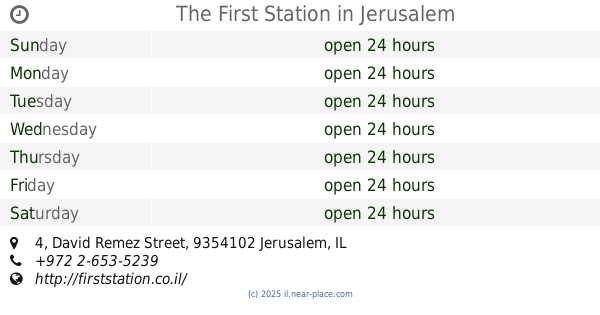
The First Station
David Remez Street 4, Jerusalem
Shopping mall
read more
14.778 km
Yafat Hashemesh Shopping Center
Bet Shemesh
Shopping mall
read more
📑
all categories
Accounting
Administrative area level 1
Administrative area level 2
Airport
Amusement park
Aquarium
Art gallery
Atm
Bakery
Bank
Bar
Beauty salon
Bicycle store
Book store
Bowling alley
Bus station
Cafe
Campground
Car dealer
Car rental
Car repair
Car wash
Casino
Cemetery
Church
City hall
Clothing store
Colloquial area
Convenience store
Country
Courthouse
Dentist
Department store
Doctor
Electrician
Electronics store
Embassy
Establishment
Finance
Fire station
Florist
Food
Funeral home
Furniture store
Gas station
General contractor
Grocery or supermarket
Gym
Hair care
Hardware store
Health
Hindu Temple
Home goods store
Hospital
Insurance agency
Intersection
Jewelry store
Laundry
Lawyer
Library
Light rail station
Liquor store
Local government office
Locality
Locksmith
Lodging
Meal delivery
Meal takeaway
Mosque
Movie rental
Movie theater
Moving company
Museum
Natural feature
Neighborhood
Night club
Painter
Park
Parking
Pet store
Pharmacy
Physiotherapist
Place of worship
Plumber
Point of interest
Police
Political
Post office
Premise
Real estate agency
Restaurant
Roofing contractor
Route
Rv park, camping
School
Shoe store
Shopping mall
Spa
Stadium
Storage
Store
Subpremise
Subway station
Supermarket
Synagogue
Taxi stand
Train station
Transit station
Travel agency
University
Veterinary care
Zoo
administrative area level 3
administrative area level 4
sublocality level 1
↑