School nearby مدرسة الصلاح الخيرية
Israel
School nearby مدرسة الصلاح الخيرية
مدرسة الصلاح الخيرية
נצר חזני, נתיבות ישראל
contacts phone
:
+972
Latitude:
31.4274355
, Longitude:
34.3525169
read more
nearest School
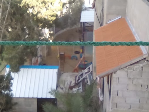
مدرسة الصلاح الخيرية
Netzer Hazani Street, Netivot
School
read more
1.207 km
مدرسة العائشية
Deir al Balah
School
read more
1.251 km
مدرسة الشهيد عبد الكريم العكلوك
شارع الشهيد عبد الكريم العكلوك
School
read more
1.416 km
مدرسة ذكور ديرالبلح الاعدادية
دير البلح-شارع البحر
School
read more
1.687 km
Manfaluti Secondary School for Boys
Al Shareaa Al Gadid
School
read more
1.834 km
School martyrs of Deir al-Balah Secondary Girls
شارع الشهيد عبد الكريم العكلوك، قطاع غزّة
School
read more
3.691 km
مدرسه خالد بن الوليد
شارع العشرين، نصيرات، الوسطى
School
read more
4.303 km
منزل الاستاد محمد ابو سدطان
مسجد الفاروق، النصيرات
School
read more
4.439 km
School shared Nuseirat
8 8، Пазарджик
School
read more
4.589 km
Izz el-Deen al-Qassam Mosque
Nuseirat Camp
School
read more
6.299 km
روضة ريحانة كيدز
شارع صلاح الدين، خان يونس
School
read more
10.461 km
مدرسة عكا
School
read more
10.603 km
مدرسة الشيخ جميل
31°20'45.4"N 34°17'40.1"E
School
read more
10.66 km
مدرسة حياه
School
read more
13.57 km
Al Fakhoora Representative Office
1 8، Илинденци
School
read more
13.628 km
Son library values
Unnamed Road, Gjilan
School
read more
13.782 km
Basic Ramleh
مركز شرطة شجاعية
School
read more
13.787 km
مدرسة الزهرة
الشجاعية حي الدرج
School
read more
15.04 km
مدرسة الخزندار
تقاطع شارع العاص مع شارع الشقيري
School
read more
15.833 km
مدرسة المسمية النصر رفح
Rabat St, Sana'a
School
read more
16.004 km
ביכורים - כפר הנוער למצויינות באומנויות , אשכול
Magen
School
read more
16.01 km
مدرسة عبدالملك بن مروان
Tawfik
School
read more
16.564 km
Jabalia Elementary School for Boys
Al Amry Mosque
School
read more
16.617 km
مدرسة عباد الرحمن الخاصة
جباليا، الصفطاوي
School
read more
17.777 km
Shadia Abu Ghazaleh School
جباليا ،الفالوجا
School
read more
📑
all categories
Accounting
Administrative area level 1
Administrative area level 2
Airport
Amusement park
Aquarium
Art gallery
Atm
Bakery
Bank
Bar
Beauty salon
Bicycle store
Book store
Bowling alley
Bus station
Cafe
Campground
Car dealer
Car rental
Car repair
Car wash
Casino
Cemetery
Church
City hall
Clothing store
Colloquial area
Convenience store
Country
Courthouse
Dentist
Department store
Doctor
Electrician
Electronics store
Embassy
Establishment
Finance
Fire station
Florist
Food
Funeral home
Furniture store
Gas station
General contractor
Grocery or supermarket
Gym
Hair care
Hardware store
Health
Hindu Temple
Home goods store
Hospital
Insurance agency
Intersection
Jewelry store
Laundry
Lawyer
Library
Light rail station
Liquor store
Local government office
Locality
Locksmith
Lodging
Meal delivery
Meal takeaway
Mosque
Movie rental
Movie theater
Moving company
Museum
Natural feature
Neighborhood
Night club
Painter
Park
Parking
Pet store
Pharmacy
Physiotherapist
Place of worship
Plumber
Point of interest
Police
Political
Post office
Premise
Real estate agency
Restaurant
Roofing contractor
Route
Rv park, camping
School
Shoe store
Shopping mall
Spa
Stadium
Storage
Store
Subpremise
Subway station
Supermarket
Synagogue
Taxi stand
Train station
Transit station
Travel agency
University
Veterinary care
Zoo
administrative area level 3
administrative area level 4
sublocality level 1
↑