School nearby Fahad Ali Hussein (2003) Ltd.
Israel
School nearby Fahad Ali Hussein (2003) Ltd.
Fahad Ali Hussein (2003) Ltd.
HaShuk Halavan Suk el Abid, Acre Израиль
contacts phone
:
+972
Latitude:
32.8851642
, Longitude:
35.0933104
read more
nearest School
1.258 km
Khorsha School
Israel
School
read more
1.258 km
בי"ס חורשה
Israel
School
read more
1.408 km
בי"ס גלים
Israel
School
read more
1.408 km
Ganim School
Israel
School
read more
1.453 km
בית ספר גלים
Shvil Nakhal Na'aman, Ein HaMifratz
School
read more
1.453 km
בית ספר גלים
שביל נחל נעמן, עין המפרץ
School
read more
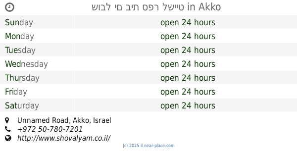
2.129 km
שובל ים בית ספר לשייט
Unnamed Road, עכו
School
read more
2.129 km
שובל ים בית ספר לשייט
Unnamed Road, Acre
School
read more
3.071 km
גן נוגה
Ilanot Street 10, Kiryat Yam
School
read more
3.071 km
גן שביט
Ilanot Street 10, Kiryat Yam
School
read more
3.071 km
גן נוגה
אילנות 10, קרית ים
School
read more
3.09 km
ביס סביונים
קרית ים
School
read more
3.094 km
מעון ויצו נווה גנים
דרך עכו חיפה 285, קרית מוצקין
School
read more
3.105 km
בית ספר סביונים
Sderot Arazim, Kiryat Yam
School
read more
3.809 km
גן צאלון
הגליל 2, קרית ים
School
read more
3.865 km
פלא גן
עדולם 27, קרית ים
School
read more
4.477 km
גן צבר
Ha-Rishonim Street 6, Kiryat Yam
School
read more
4.503 km
תיכון רבין
קרית ים
School
read more
4.594 km
בית ספר אמירים
Kiryat Yam
School
read more
4.926 km
תיכון גימנסיה - תיכון פרטי | בית ספר לבגרויות | תיכון בחווית לימודים אחרת
דרך עכו 165, קרית מוצקין
School
read more
4.96 km
גן שרה
4, Yehuda Burla Street 2, Acre
School
read more
5.222 km
בית ספר חבד תלמוד תורה צבאות מנחם
הרב אריה לוין 1, חיפה
School
read more
5.468 km
גן הרדוף
שדרות הרצל 85, קרית ים
School
read more
5.471 km
גן רותם
Eli Cohen Street 16, Kiryat Yam
School
read more
5.713 km
גן שיזף
Yisra'el Yesha'ayahu Street 4, Kiryat Yam
School
read more
📑
all categories
Accounting
Administrative area level 1
Administrative area level 2
Airport
Amusement park
Aquarium
Art gallery
Atm
Bakery
Bank
Bar
Beauty salon
Bicycle store
Book store
Bowling alley
Bus station
Cafe
Campground
Car dealer
Car rental
Car repair
Car wash
Casino
Cemetery
Church
City hall
Clothing store
Colloquial area
Convenience store
Country
Courthouse
Dentist
Department store
Doctor
Electrician
Electronics store
Embassy
Establishment
Finance
Fire station
Florist
Food
Funeral home
Furniture store
Gas station
General contractor
Grocery or supermarket
Gym
Hair care
Hardware store
Health
Hindu Temple
Home goods store
Hospital
Insurance agency
Intersection
Jewelry store
Laundry
Lawyer
Library
Light rail station
Liquor store
Local government office
Locality
Locksmith
Lodging
Meal delivery
Meal takeaway
Mosque
Movie rental
Movie theater
Moving company
Museum
Natural feature
Neighborhood
Night club
Painter
Park
Parking
Pet store
Pharmacy
Physiotherapist
Place of worship
Plumber
Point of interest
Police
Political
Post office
Premise
Real estate agency
Restaurant
Roofing contractor
Route
Rv park, camping
School
Shoe store
Shopping mall
Spa
Stadium
Storage
Store
Subpremise
Subway station
Supermarket
Synagogue
Taxi stand
Train station
Transit station
Travel agency
University
Veterinary care
Zoo
administrative area level 3
administrative area level 4
sublocality level 1
↑