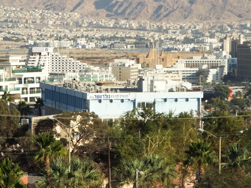
School nearby בית ספר תיכון גולדווטר
Israel
School nearby בית ספר תיכון גולדווטר
בית ספר תיכון גולדווטר
שדרות חטיבת הנגב, אילת, באר שבע, IL ישראל
contacts phone
:
+972 8-637-2105
website:
www.goldwater.org.il
Latitude:
29.5544373
, Longitude:
34.9494061
larger map & directions
read more
nearest School
47 m
школа ульпан
Eilat
School
read more
298 m
CIMI Center
Ha-Shita Street 17-19, Eilat
School
read more
620 m
פאן קידס
טופז 5, אילת
School
read more
620 m
פאן קידס
Topaz Street 5, Eilat
School
read more
681 m
Palma Diving resort
73, Sderot Argaman, Eilat
School
read more
747 m
גן טל אילת
ברנע 17, אילת
School
read more
747 m
Garden Tal Eilat
Barne'a Street 17, Eilat
School
read more
751 m
seamor diving school
טופז 1, אילת
School
read more
804 m
פזית רומר
HaTsaftsafa Street 1, Eilat
School
read more
842 m
Avner Efrati - scuba diving
הברוש 10, אילת
School
read more
842 m
Avner Efrati - scuba diving
Ha-Brosh Street 10, Eilat
School
read more
956 m
מכללה ירושלים שלוחה אילת
אילת
School
read more
956 m
מכללה ירושלים שלוחה אילת
Eilat
School
read more
1.046 km
ביס עציון גבר
Eilat
School
read more
1.046 km
ביס עציון גבר
אילת
School
read more
1.08 km
Avner Efrati - scuba diving
IL 8859065, Mish'ol Shaked 14, Eilat
School
read more
1.08 km
Avner Efrati - scuba diving
IL 8859065, משעול שקד 14, אילת
School
read more
1.302 km
Begin High School
Malkat Shva Street 2, Eilat
School
read more
1.355 km
אשכול םיס
Eilat
School
read more
1.576 km
Tseelim School
Eilat
School
read more
1.606 km
גן שחמון
רח ההחשמונאים, אילת
School
read more
1.606 km
גן שחמון
רח ההחשמונאים, Eilat
School
read more
1.666 km
ביס יסודי היובל
רח' בני – ישראל 3, אילת
School
read more
1.869 km
הסטודיו של שרה - בית ספר לתפירה
Simtat Nakhal Zarkhan 3 Eilat IL 88000, Simtat Nakhal Zarkhan 3, Eilat
School
read more
1.874 km
גן אדום
HaNavatim Street 22, Eilat
School
read more
📑
all categories
Accounting
Administrative area level 1
Administrative area level 2
Airport
Amusement park
Aquarium
Art gallery
Atm
Bakery
Bank
Bar
Beauty salon
Bicycle store
Book store
Bowling alley
Bus station
Cafe
Campground
Car dealer
Car rental
Car repair
Car wash
Casino
Cemetery
Church
City hall
Clothing store
Colloquial area
Convenience store
Country
Courthouse
Dentist
Department store
Doctor
Electrician
Electronics store
Embassy
Establishment
Finance
Fire station
Florist
Food
Funeral home
Furniture store
Gas station
General contractor
Grocery or supermarket
Gym
Hair care
Hardware store
Health
Hindu Temple
Home goods store
Hospital
Insurance agency
Intersection
Jewelry store
Laundry
Lawyer
Library
Light rail station
Liquor store
Local government office
Locality
Locksmith
Lodging
Meal delivery
Meal takeaway
Mosque
Movie rental
Movie theater
Moving company
Museum
Natural feature
Neighborhood
Night club
Painter
Park
Parking
Pet store
Pharmacy
Physiotherapist
Place of worship
Plumber
Point of interest
Police
Political
Post office
Premise
Real estate agency
Restaurant
Roofing contractor
Route
Rv park, camping
School
Shoe store
Shopping mall
Spa
Stadium
Storage
Store
Subpremise
Subway station
Supermarket
Synagogue
Taxi stand
Train station
Transit station
Travel agency
University
Veterinary care
Zoo
administrative area level 3
administrative area level 4
sublocality level 1
↑