Restaurant nearby Jeknis
Coronavirus disease (COVID-19) Situation
confirmed cases
4841772
deaths
12707
Israel
Restaurant nearby Jeknis
Jeknis
1, אנפה, 88000, אילת, באר שבע, IL Izrael
contacts phone
:
+972 8-637-6534
Latitude:
29.5540357
, Longitude:
34.9453651
larger map & directions
read more
nearest Restaurant
53 m
Falafel meeting
Eilot Street 102, Eilat
Restaurant
read more
203 m
בנין פנורמה
אילות, אילת
Restaurant
read more
676 m
פיצה לק
שדרות התמרים 134, אילת
Restaurant
read more
686 m
Shawarma Pilpel
שדרות התמרים 16-20, אילת
Restaurant
read more
691 m
ג'ינג'ר
דרך יותם 3, אילת
Restaurant
read more
691 m
Ginger asian kitchen
Derekh Yotam 3, Eilat
Restaurant
read more
731 m
Big Apple Pizza
שדרות התמרים 45, ת.ד 5172, Eilat
Restaurant
read more
744 m
Chicken rural Solomon
מרכז תיירות חדש, אילת
Restaurant
read more
749 m
Il Pentolino[איל פנטולינו]
שדרות התמרים 112, אילת
Restaurant
read more
752 m
Ginger
אילת
Restaurant
read more
765 m
פיצליאנו
Derekh Yotam, Eilat
Restaurant
read more
767 m
Pizza Hut
Eilat
Restaurant
read more
770 m
פרויק'ה אילת - שווארמה ובאגטים
דרך יותם 1, אילת
Restaurant
read more
771 m
פיצה 20
Eilat
Restaurant
read more
807 m
פפרוני
אילות 23ב, אילת
Restaurant
read more
840 m
באגט דולפין baguette dolphin
הקניון האדום, Eilat
Restaurant
read more
840 m
באגט דולפין
הקניון האדום, אילת
Restaurant
read more
905 m
המטבחון של עמוס אילת
18, ברנע 48, אילת
Restaurant
read more
905 m
The kitchen of Amos
18, Barne'a Street 48, Eilat
Restaurant
read more
969 m
מקדונלד'ס קניון מול הים
קניון מול הים, הפלמ"ח 1, אילת
Restaurant
read more
1.047 km
Manga Noodles Express
Durban Street 150, Eilat
Restaurant
read more
1.054 km
השיפודיה
דרבן 4, אילת
Restaurant
read more
1.076 km
Маленькая Бразилия
Eilot Street 3, Eilat
Restaurant
read more
1.134 km
מסעדת ללו
החורב 7, אילת
Restaurant
read more
1.169 km
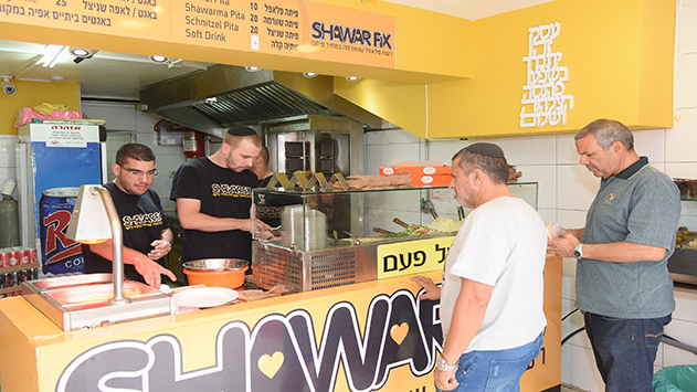
שאוורמה פיקס
241, HaShaham Street, Eilat
Restaurant
read more
📑
all categories
Accounting
Administrative area level 1
Administrative area level 2
Airport
Amusement park
Aquarium
Art gallery
Atm
Bakery
Bank
Bar
Beauty salon
Bicycle store
Book store
Bowling alley
Bus station
Cafe
Campground
Car dealer
Car rental
Car repair
Car wash
Casino
Cemetery
Church
City hall
Clothing store
Colloquial area
Convenience store
Country
Courthouse
Dentist
Department store
Doctor
Electrician
Electronics store
Embassy
Establishment
Finance
Fire station
Florist
Food
Funeral home
Furniture store
Gas station
General contractor
Grocery or supermarket
Gym
Hair care
Hardware store
Health
Hindu Temple
Home goods store
Hospital
Insurance agency
Intersection
Jewelry store
Laundry
Lawyer
Library
Light rail station
Liquor store
Local government office
Locality
Locksmith
Lodging
Meal delivery
Meal takeaway
Mosque
Movie rental
Movie theater
Moving company
Museum
Natural feature
Neighborhood
Night club
Painter
Park
Parking
Pet store
Pharmacy
Physiotherapist
Place of worship
Plumber
Point of interest
Police
Political
Post office
Premise
Real estate agency
Restaurant
Roofing contractor
Route
Rv park, camping
School
Shoe store
Shopping mall
Spa
Stadium
Storage
Store
Subpremise
Subway station
Supermarket
Synagogue
Taxi stand
Train station
Transit station
Travel agency
University
Veterinary care
Zoo
administrative area level 3
administrative area level 4
sublocality level 1
↑