Restaurant nearby חומוס סלים
Israel
Restaurant nearby חומוס סלים
חומוס סלים
49, פסטר, רמלה, רמלה, IL ישראל
contacts phone
:
+972 50-281-2332
Latitude:
31.9242666
, Longitude:
34.8741246
larger map & directions
read more
nearest Restaurant
164 m
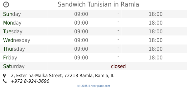
Sandwich Tunisian
Ester ha-Malka Street 2, Ramla
Restaurant
read more
187 m
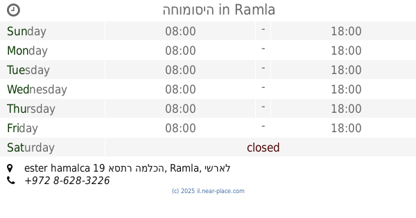
החומוסיה
ester hamalca 19 אסתר המלכה, Ramla
Restaurant
read more
238 m
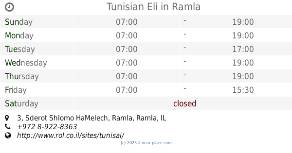
Tunisian Eli
Sderot Shlomo HaMelech 3, Ramla
Restaurant
read more
255 m
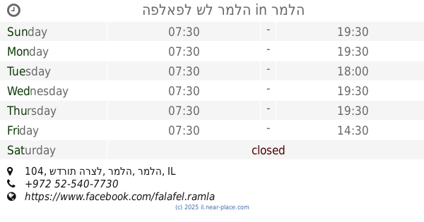
הפלאפל של רמלה
שדרות הרצל 104, רמלה
Restaurant
read more
285 m
בגט הזהב של גרשון ומזל
שדרות הרצל 87, רמלה
Restaurant
read more
290 m
מהרג'ה
שדרות הרצל 87, רמלה
Restaurant
read more
353 m
בטטה מאצ'
שדרות הרצל 82, רמלה
Restaurant
read more
361 m
מסעדת חליל
קהילת דטרויט 6, רמלה
Restaurant
read more
391 m
רשת מקדונלדס
שדרות הרצל 91, רמלה
Restaurant
read more
391 m
McDonald's
Sderot Herzl 91, Ramla
Restaurant
read more
407 m
טאבון המזרח
4, Klausner Yosef Street, Ramla
Restaurant
read more
512 m
الحار تحتا
Khevron Street, Ramla
Restaurant
read more
512 m
الحار تحتا
חברון, רמלה
Restaurant
read more
541 m
חומוסיית סאמר
דני מס 1, רמלה
Restaurant
read more
541 m
Hummus place Samer
Dani Mas Street 1, Ramla
Restaurant
read more
864 m
Pikud Haoref
Exit to Route 40, Ben-Gurion Airport
Restaurant
read more
907 m
צ'וקה
שדרות דוד רזיאל 1, רמלה
Restaurant
read more
907 m
צ׳וקה סניף רמלה
Sderot David Razi'el 1, Ramla
Restaurant
read more
936 m
Raj Mahal
12, שדרות חיים וייצמן, רמלה
Restaurant
read more
957 m
Falafel end of the road
72210, Ha-Hagana Street 2, Ramla
Restaurant
read more
971 m
MyChooka
Sderot David Razi'el 1, Ramla
Restaurant
Food
Point of interest
Establishment
read more
974 m
פיצה עגבניה קניון עזריאלי רמלה
רמלה
Restaurant
read more
980 m
מקדונלדס
Sderot David Razi'el 1, Ramla
Restaurant
read more
980 m
מקדונלדס
שדרות דוד רזיאל 1, רמלה
Restaurant
read more
1.009 km
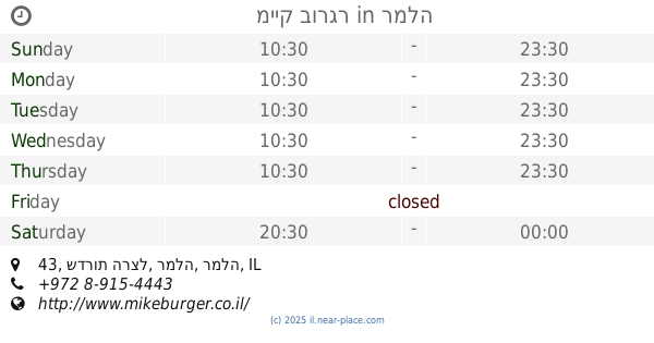
מייק בורגר
שדרות הרצל 43, רמלה
Restaurant
read more
📑
all categories
Accounting
Administrative area level 1
Administrative area level 2
Airport
Amusement park
Aquarium
Art gallery
Atm
Bakery
Bank
Bar
Beauty salon
Bicycle store
Book store
Bowling alley
Bus station
Cafe
Campground
Car dealer
Car rental
Car repair
Car wash
Casino
Cemetery
Church
City hall
Clothing store
Colloquial area
Convenience store
Country
Courthouse
Dentist
Department store
Doctor
Electrician
Electronics store
Embassy
Establishment
Finance
Fire station
Florist
Food
Funeral home
Furniture store
Gas station
General contractor
Grocery or supermarket
Gym
Hair care
Hardware store
Health
Hindu Temple
Home goods store
Hospital
Insurance agency
Intersection
Jewelry store
Laundry
Lawyer
Library
Light rail station
Liquor store
Local government office
Locality
Locksmith
Lodging
Meal delivery
Meal takeaway
Mosque
Movie rental
Movie theater
Moving company
Museum
Natural feature
Neighborhood
Night club
Painter
Park
Parking
Pet store
Pharmacy
Physiotherapist
Place of worship
Plumber
Point of interest
Police
Political
Post office
Premise
Real estate agency
Restaurant
Roofing contractor
Route
Rv park, camping
School
Shoe store
Shopping mall
Spa
Stadium
Storage
Store
Subpremise
Subway station
Supermarket
Synagogue
Taxi stand
Train station
Transit station
Travel agency
University
Veterinary care
Zoo
administrative area level 3
administrative area level 4
sublocality level 1
↑