Restaurant nearby הסוד של שושנה
Israel
Restaurant nearby הסוד של שושנה
הסוד של שושנה
HaMelacha Street 5, Eilat Israel
contacts phone
:
+972
Latitude:
29.5634373
, Longitude:
34.9583808
read more
nearest Restaurant
36 m
Entrecote eilat אנטריקוט אילת
Hamelacha 6 המלאכה 6, Eilat
Restaurant
read more
108 m
Hajahnon Shel Hani
HaMelacha Street 1, Eilat
Restaurant
read more
136 m
אל גאוצ’ו
דרך הערבה, אילת
Restaurant
read more
217 m
Ashkarah Grill bar
HaMelacha Street 18, Eilat
Restaurant
read more
301 m
ברכת המזון
איזור התעשיה, התבונה 4, אילת
Restaurant
read more
363 m
Togarashi Big Eilat
ביג אילת 20, Ha-Satat Street, Eilat
Restaurant
read more
365 m
Burgers bar
Ha-Mutsar Street 14, Eilat
Restaurant
read more
425 m
Catering Shiraz Eilat
HaMasger Street 4, Eilat
Restaurant
read more
461 m
פדרו
שדרות יעלים 38, אילת
Restaurant
read more
533 m
מסעדת ללו
החורב 7, אילת
Restaurant
read more
560 m
Маленькая Бразилия
Eilot Street 3, Eilat
Restaurant
read more
605 m
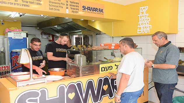
שאוורמה פיקס
241, HaShaham Street, Eilat
Restaurant
read more
655 m
חומוס אליהו
Ha-Burseka'i Street 9, Eilat
Restaurant
read more
853 m
פפרוני
אילות 23ב, אילת
Restaurant
read more
887 m
Il Pentolino[איל פנטולינו]
שדרות התמרים 112, אילת
Restaurant
read more
895 m
Ginger
אילת
Restaurant
read more
898 m
אחלה
קאמן 1 אילת IL 88000, קאמן 1, אילת
Restaurant
read more
966 m
Chicken rural Solomon
מרכז תיירות חדש, אילת
Restaurant
read more
967 m
Shawarma Pilpel
Sderot HaTmarim 16-20, Eilat
Restaurant
read more
967 m
Shawarma Pilpel
שדרות התמרים 16-20, אילת
Restaurant
read more
971 m
פיצה לק
שדרות התמרים 134, אילת
Restaurant
read more
1.01 km
באגט דולפין
הקניון האדום, אילת
Restaurant
read more
1.01 km
באגט דולפין baguette dolphin
הקניון האדום, Eilat
Restaurant
read more
1.033 km
Pizza Hut
Eilat
Restaurant
read more
1.074 km
Big Apple Pizza
שדרות התמרים 45, ת.ד 5172, Eilat
Restaurant
read more
📑
all categories
Accounting
Administrative area level 1
Administrative area level 2
Airport
Amusement park
Aquarium
Art gallery
Atm
Bakery
Bank
Bar
Beauty salon
Bicycle store
Book store
Bowling alley
Bus station
Cafe
Campground
Car dealer
Car rental
Car repair
Car wash
Casino
Cemetery
Church
City hall
Clothing store
Colloquial area
Convenience store
Country
Courthouse
Dentist
Department store
Doctor
Electrician
Electronics store
Embassy
Establishment
Finance
Fire station
Florist
Food
Funeral home
Furniture store
Gas station
General contractor
Grocery or supermarket
Gym
Hair care
Hardware store
Health
Hindu Temple
Home goods store
Hospital
Insurance agency
Intersection
Jewelry store
Laundry
Lawyer
Library
Light rail station
Liquor store
Local government office
Locality
Locksmith
Lodging
Meal delivery
Meal takeaway
Mosque
Movie rental
Movie theater
Moving company
Museum
Natural feature
Neighborhood
Night club
Painter
Park
Parking
Pet store
Pharmacy
Physiotherapist
Place of worship
Plumber
Point of interest
Police
Political
Post office
Premise
Real estate agency
Restaurant
Roofing contractor
Route
Rv park, camping
School
Shoe store
Shopping mall
Spa
Stadium
Storage
Store
Subpremise
Subway station
Supermarket
Synagogue
Taxi stand
Train station
Transit station
Travel agency
University
Veterinary care
Zoo
administrative area level 3
administrative area level 4
sublocality level 1
↑