Pharmacy nearby Аптека Клалит
Israel
Pharmacy nearby Аптека Клалит
Аптека Клалит
13, דוד רמז, נתניה, השרון, IL Израиль
contacts phone
:
+972 9-860-8421
website:
clalit.co.il
Latitude:
32.3279834
, Longitude:
34.8533843
larger map & directions
read more
nearest Pharmacy
Clalit Pharmacy
David Remez Street 13, Netanya
Pharmacy
read more
Аптека Клалит
David Remez Street 13, Netanya
Pharmacy
read more
65 m
רפא אל
נתניה
Pharmacy
read more
108 m
Super-Pharm Remez
רמז 16, נתניה
Pharmacy
read more
108 m
Супер-Фарм
רמז 16, נתניה
Pharmacy
read more
108 m
סופר-פארם רמז
רמז 16, נתניה
Pharmacy
read more
205 m
הרצל נתניה
נתניה
Pharmacy
read more
205 m
Pharmacy
Netanya
Pharmacy
read more
216 m
Herzl Netanya
Herzl Street 11, Netanya
Pharmacy
read more
235 m
Netanya Pharmacy
Herzl Street 11, Netanya
Pharmacy
read more
292 m
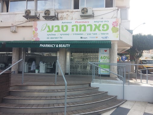
Pharma Teva Hadasa
Netanya
Pharmacy
read more
292 m
פארמה טבע הדסה
נתניה
Pharmacy
read more
397 m
בית מרקחת גבע
שער הגיא 14, נתניה
Pharmacy
read more
484 m
Maccabi Pharm
Sderot Binyamin 21, Netanya
Pharmacy
read more
527 m
HaMagen
Netanya
Pharmacy
read more
597 m
כללית בית מרקחת
פרופסור ברודצקי 31, נתניה
Pharmacy
read more
652 m
Супер-Фарм
וייצמן 22, נתניה
Pharmacy
read more
700 m
בית מרקחת אתיקה
Herzl Street, Netanya
Pharmacy
read more
782 m
Аптека Ха-Насси
Sderot Hayim Weizman 36, Netanya
Pharmacy
read more
794 m
כללית בית מרקחת
הרצל 58, נתניה
Pharmacy
read more
800 m
Супер-Фарм
קניון השרון, הרצל 58, נתניה
Pharmacy
read more
851 m
כללית - בית מרקחת
Derech Raziel 8, Netanya
Pharmacy
read more
851 m
Поликлиника Клалит
Derech Raziel 8, Netanya
Pharmacy
read more
889 m
New Pharm
שד' בנימין 60, נתניה
Pharmacy
read more
889 m
ניו פארם
שד' בנימין 60, נתניה
Pharmacy
read more
📑
all categories
Accounting
Administrative area level 1
Administrative area level 2
Airport
Amusement park
Aquarium
Art gallery
Atm
Bakery
Bank
Bar
Beauty salon
Bicycle store
Book store
Bowling alley
Bus station
Cafe
Campground
Car dealer
Car rental
Car repair
Car wash
Casino
Cemetery
Church
City hall
Clothing store
Colloquial area
Convenience store
Country
Courthouse
Dentist
Department store
Doctor
Electrician
Electronics store
Embassy
Establishment
Finance
Fire station
Florist
Food
Funeral home
Furniture store
Gas station
General contractor
Grocery or supermarket
Gym
Hair care
Hardware store
Health
Hindu Temple
Home goods store
Hospital
Insurance agency
Intersection
Jewelry store
Laundry
Lawyer
Library
Light rail station
Liquor store
Local government office
Locality
Locksmith
Lodging
Meal delivery
Meal takeaway
Mosque
Movie rental
Movie theater
Moving company
Museum
Natural feature
Neighborhood
Night club
Painter
Park
Parking
Pet store
Pharmacy
Physiotherapist
Place of worship
Plumber
Point of interest
Police
Political
Post office
Premise
Real estate agency
Restaurant
Roofing contractor
Route
Rv park, camping
School
Shoe store
Shopping mall
Spa
Stadium
Storage
Store
Subpremise
Subway station
Supermarket
Synagogue
Taxi stand
Train station
Transit station
Travel agency
University
Veterinary care
Zoo
administrative area level 3
administrative area level 4
sublocality level 1
↑