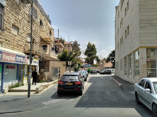
Parking nearby חנייה אחורית של סייטק
Israel
Parking nearby חנייה אחורית של סייטק
חנייה אחורית של סייטק
8, קרית המדע, ירושלים, IL ישראל
contacts phone
:
+972
Latitude:
31.8015931
, Longitude:
35.2104283
larger map & directions
read more
nearest Parking
חנייה אחורית של סייטק
Kiryat HaMada Street 8, Jerusalem
Parking
read more
52 m
Ramot Me'ir Parking
Jerusalem
Parking
read more
1.212 km
חניון שנלר
מלכי ישראל, ירושלים
Parking
read more
1.212 km
חניון שנלר
Malkei Israel Street, Jerusalem
Parking
read more
1.27 km
חניון
Malkei Israel Street 34, Jerusalem
Parking
read more
1.27 km
חניון
מלכי ישראל 34, ירושלים
Parking
read more
1.486 km
Ayalon parking
Romema Street 2, Jerusalem
Parking
read more
1.698 km
Egged station
Jerusalem
Parking
read more
1.712 km
חניון ציבורי - חינם!
Herzl Blvd 6, Jerusalem
Parking
read more
1.798 km
Cellopark
הרב שמואל ברוך 4, ירושלים
Parking
read more
1.802 km
Ha-Kipod
Jerusalem
Parking
read more
1.806 km
חניון בית החייל ירושלים
ירושלים
Parking
read more
1.819 km
חניה לאימפרוב
דוד ילין 25, ירושלים
Parking
read more
1.819 km
חניה לאימפרוב
David Yellin Street 25, Jerusalem
Parking
read more
1.851 km
חניון פינת מרגוע ציון לוי
ירושלים
Parking
read more
1.948 km
חניון מרכז כלל
Ki'akh Street 2, Jerusalem
Parking
read more
1.954 km
Shuk Parking Lot
Ki'akh Street 2, Jerusalem
Parking
read more
1.957 km
Strauss parking
Natan Strauss Street 11, Jerusalem
Parking
read more
1.967 km
walenberg parking lot
Ha-Nevi'im Street 63, Jerusalem
Parking
read more
1.967 km
walenberg parking lot
הנביאים 63, ירושלים
Parking
read more
2.004 km
Egged Parking Lot
Jerusalén
Parking
read more
2.033 km
Estaciónamiento 5.feb
Bnei Brit Street 13, Jerusalem
Parking
read more
2.264 km
Arledan Parking
Jerusalem
Parking
read more
2.272 km
חניון מ.ע.צ ארלדן
Ha-Nevi'im Street 48, Jerusalem
Parking
read more
2.387 km
חניון מוטראן
Derech Shem, Jerusalem
Parking
read more
📑
all categories
Accounting
Administrative area level 1
Administrative area level 2
Airport
Amusement park
Aquarium
Art gallery
Atm
Bakery
Bank
Bar
Beauty salon
Bicycle store
Book store
Bowling alley
Bus station
Cafe
Campground
Car dealer
Car rental
Car repair
Car wash
Casino
Cemetery
Church
City hall
Clothing store
Colloquial area
Convenience store
Country
Courthouse
Dentist
Department store
Doctor
Electrician
Electronics store
Embassy
Establishment
Finance
Fire station
Florist
Food
Funeral home
Furniture store
Gas station
General contractor
Grocery or supermarket
Gym
Hair care
Hardware store
Health
Hindu Temple
Home goods store
Hospital
Insurance agency
Intersection
Jewelry store
Laundry
Lawyer
Library
Light rail station
Liquor store
Local government office
Locality
Locksmith
Lodging
Meal delivery
Meal takeaway
Mosque
Movie rental
Movie theater
Moving company
Museum
Natural feature
Neighborhood
Night club
Painter
Park
Parking
Pet store
Pharmacy
Physiotherapist
Place of worship
Plumber
Point of interest
Police
Political
Post office
Premise
Real estate agency
Restaurant
Roofing contractor
Route
Rv park, camping
School
Shoe store
Shopping mall
Spa
Stadium
Storage
Store
Subpremise
Subway station
Supermarket
Synagogue
Taxi stand
Train station
Transit station
Travel agency
University
Veterinary care
Zoo
administrative area level 3
administrative area level 4
sublocality level 1
↑