Parking nearby חניון הורד
Israel
Parking nearby חניון הורד
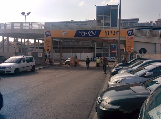
חניון הורד
גבעתיים, ישראל
contacts phone
:
+972
Latitude:
32.06755
, Longitude:
34.803179
larger map & directions
read more
nearest Parking
119 m
חניון פלאפון
גבעתיים
Parking
read more
119 m
Pelephone Parking
Giv'atayim
Parking
read more
331 m
Plitei HaSfar St 25 Parking
Plitei HaSfar St 25, Tel Aviv-Yafo
Parking
read more
687 m
Check Point Parking
Tuval Street, Tel Aviv-Yafo
Parking
read more
704 m
חניון צ'ק פוינט
Tuval Street, Tel Aviv-Yafo
Parking
read more
773 m
Ha-Solelim parking
Tel Aviv-Yafo
Parking
read more
776 m
חניון 35 ש״ח לכל היום
הסוללים 1-3, תל אביב יפו
Parking
read more
791 m
2 מקומות חניה חינם
Kelmer Street 7, Tel Aviv-Yafo
Parking
read more
865 m
חניון מגדל אמפא - אסותא השלום, תל אביב
תובל 4, תל אביב יפו
Parking
read more
865 m
חניון מגדל אמפא - אסותא השלום, תל אביב
Tuval Street 4, Tel Aviv-Yafo
Parking
read more
873 m
חניון אמפא TLV
Tuval Street 4, Tel Aviv-Yafo
Parking
read more
890 m
חניון יוסף בוקסנבאום
תל אביב יפו
Parking
read more
890 m
Yosef Buksenbaum Parking Lot
Tel Aviv-Yafo
Parking
read more
967 m
חניה חניון גדול
11,, Doctor Tcherna Street 1, Tel Aviv-Yafo
Parking
read more
1.026 km
חניוני מאיה
Yigal Alon Street 115, Tel Aviv-Yafo
Parking
read more
1.048 km
HaShalom Rd 120 Parking
HaShalom Rd 121, Tel Aviv-Yafo
Parking
read more
1.051 km
Wolfson Parking
Tel Aviv-Yafo
Parking
read more
1.051 km
חניון וולפסון
תל אביב יפו
Parking
read more
1.051 km
Wolfson Parking
Tel Aviv-Jaffa
Parking
read more
1.051 km
Wolfson Parking
Тель-Авив
Parking
read more
1.054 km
Temporary Parking חניון זמני
סמטת צביה לובטקין 6, גבעתיים
Parking
read more
1.054 km
Temporary Parking חניון זמני
Simtat Tsviya Lubetkin 6, Giv'atayim
Parking
read more
1.122 km
חניון סלטי משה
בן שמן 11, תל אביב יפו
Parking
read more
1.166 km
Ha-Ma'arakha
Tel Aviv-Yafo
Parking
read more
1.166 km
המערכה
תל אביב יפו
Parking
read more
📑
all categories
Accounting
Administrative area level 1
Administrative area level 2
Airport
Amusement park
Aquarium
Art gallery
Atm
Bakery
Bank
Bar
Beauty salon
Bicycle store
Book store
Bowling alley
Bus station
Cafe
Campground
Car dealer
Car rental
Car repair
Car wash
Casino
Cemetery
Church
City hall
Clothing store
Colloquial area
Convenience store
Country
Courthouse
Dentist
Department store
Doctor
Electrician
Electronics store
Embassy
Establishment
Finance
Fire station
Florist
Food
Funeral home
Furniture store
Gas station
General contractor
Grocery or supermarket
Gym
Hair care
Hardware store
Health
Hindu Temple
Home goods store
Hospital
Insurance agency
Intersection
Jewelry store
Laundry
Lawyer
Library
Light rail station
Liquor store
Local government office
Locality
Locksmith
Lodging
Meal delivery
Meal takeaway
Mosque
Movie rental
Movie theater
Moving company
Museum
Natural feature
Neighborhood
Night club
Painter
Park
Parking
Pet store
Pharmacy
Physiotherapist
Place of worship
Plumber
Point of interest
Police
Political
Post office
Premise
Real estate agency
Restaurant
Roofing contractor
Route
Rv park, camping
School
Shoe store
Shopping mall
Spa
Stadium
Storage
Store
Subpremise
Subway station
Supermarket
Synagogue
Taxi stand
Train station
Transit station
Travel agency
University
Veterinary care
Zoo
administrative area level 3
administrative area level 4
sublocality level 1
↑