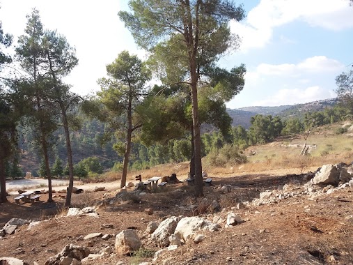
Park nearby פארק נחל שורק
Israel
Park nearby פארק נחל שורק
פארק נחל שורק
ירושלים, ישראל
contacts phone
:
+972
Latitude:
31.7993207
, Longitude:
35.195942
larger map & directions
read more
nearest Park
473 m
יער רמות
ירושלים
Park
read more
473 m
Ramot Forest
Jerusalem
Park
read more
547 m
Frida Zeidenberg Garden
Jerozolima
Park
read more
547 m
Frida Zeidenberg Garden
Jerusalén
Park
read more
547 m
Frida Zeidenberg Garden
Jerusalem
Park
read more
547 m
Frida Zeidenberg Garden
Иерусалим
Park
read more
623 m
גן הורים
ירושלים
Park
read more
623 m
Horim Garden
Jerusalén
Park
read more
623 m
Horim Garden
Иерусалим
Park
read more
837 m
גינות סחרוב
ירושלים
Park
read more
837 m
Saharov Gardens
Jerusalem
Park
read more
837 m
Saharov Gardens
Иерусалим
Park
read more
914 m
Parking Torczyner
Jerusalem
Park
read more
914 m
חניון טורצ'ינר
ירושלים
Park
read more
926 m
העצים של שלום שרקי
Giv'at Sha'ul Street 1, Jerusalem
Park
read more
926 m
העצים של שלום שרקי
גבעת שאול 1, ירושלים
Park
read more
943 m
גן שרה שנירר
ירושלים
Park
read more
943 m
Sara Schnirer Garden
Jerusalem
Park
read more
950 m
Menahem Meshiv Garden
Иерусалим
Park
read more
950 m
גן מנחם משיב
ירושלים
Park
read more
994 m
גן יעקב הרצוג
ירושלים
Park
read more
994 m
Yaakov Herzog Garden
Иерусалим
Park
read more
1.002 km
HaShablul Garden
Jerozolima
Park
read more
1.002 km
HaShablul Garden
Иерусалим
Park
read more
1.626 km
גן טרומן
ירושלים
Park
read more
📑
all categories
Accounting
Administrative area level 1
Administrative area level 2
Airport
Amusement park
Aquarium
Art gallery
Atm
Bakery
Bank
Bar
Beauty salon
Bicycle store
Book store
Bowling alley
Bus station
Cafe
Campground
Car dealer
Car rental
Car repair
Car wash
Casino
Cemetery
Church
City hall
Clothing store
Colloquial area
Convenience store
Country
Courthouse
Dentist
Department store
Doctor
Electrician
Electronics store
Embassy
Establishment
Finance
Fire station
Florist
Food
Funeral home
Furniture store
Gas station
General contractor
Grocery or supermarket
Gym
Hair care
Hardware store
Health
Hindu Temple
Home goods store
Hospital
Insurance agency
Intersection
Jewelry store
Laundry
Lawyer
Library
Light rail station
Liquor store
Local government office
Locality
Locksmith
Lodging
Meal delivery
Meal takeaway
Mosque
Movie rental
Movie theater
Moving company
Museum
Natural feature
Neighborhood
Night club
Painter
Park
Parking
Pet store
Pharmacy
Physiotherapist
Place of worship
Plumber
Point of interest
Police
Political
Post office
Premise
Real estate agency
Restaurant
Roofing contractor
Route
Rv park, camping
School
Shoe store
Shopping mall
Spa
Stadium
Storage
Store
Subpremise
Subway station
Supermarket
Synagogue
Taxi stand
Train station
Transit station
Travel agency
University
Veterinary care
Zoo
administrative area level 3
administrative area level 4
sublocality level 1
↑