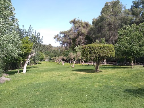
Park nearby playground
Israel
Park nearby playground
playground
Kfar Gidon, Израиль
contacts phone
:
+972
Latitude:
32.6445208
, Longitude:
35.2919634
larger map & directions
read more
nearest Park
גן משחקים
כפר גדעון
Park
read more
112 m
גן חיים
כפר גדעון
Park
read more
112 m
Gan Hayim
Kfar Gidon
Park
read more
1.145 km
עמותת התיירות בעמקים (משרדים)
Derech HaEmek, Yokne'am Illit
Park
read more
1.647 km
בין שבילים לכוכבים - חניון ומתחם קרוואנים
תות 3, תל עדשים
Campground
Park
Lodging
Point of interest
Establishment
read more
1.847 km
Balfurya Reserve
Israel
Park
read more
1.847 km
שמורת בלפוריה
Israel
Park
read more
3.359 km
משפחתון תהילה
Onyx Street 13, Afula
Park
read more
3.39 km
פארק חי העמק
Afula
Park
read more
3.454 km
Afula Municipal Park
Afula
Park
read more
3.647 km
Ha-Shkhuna Garden
Афула
Park
read more
3.699 km
אנדרטה לקרבנות הטרור בעפולה
חטיבה תשע 23, עפולה
Park
read more
3.973 km
Eli Cohen Garden
Афула
Park
read more
4 km
David Garden
Afula
Park
read more
4.3 km
Yad LaBanim Garden
Afula
Park
read more
4.434 km
Nessis Garden
Afula
Park
read more
4.584 km
פרק שעשועים
Kalaniyot Street 2-24, Ahuzat Barak
Park
read more
4.708 km
גן ברנלי
עפולה
Park
read more
5.173 km
Roni Cohen Garden
Мигдаль-ха-Эмек
Park
read more
5.297 km
Rassco Garden
Migdal HaEmek
Park
read more
5.432 km
גן רפי
מגדל העמק
Park
read more
5.813 km
Tavor Garden
Мигдаль-ха-Эмек
Park
read more
6.093 km
HaRishonim Park
Migdal HaEmek
Park
read more
6.366 km
מגדלי רוטשטיין
Nahal Hatsvi Street, Migdal HaEmek
Park
read more
6.662 km
Park Rabin
Migdal HaEmek
Park
read more
📑
all categories
Accounting
Administrative area level 1
Administrative area level 2
Airport
Amusement park
Aquarium
Art gallery
Atm
Bakery
Bank
Bar
Beauty salon
Bicycle store
Book store
Bowling alley
Bus station
Cafe
Campground
Car dealer
Car rental
Car repair
Car wash
Casino
Cemetery
Church
City hall
Clothing store
Colloquial area
Convenience store
Country
Courthouse
Dentist
Department store
Doctor
Electrician
Electronics store
Embassy
Establishment
Finance
Fire station
Florist
Food
Funeral home
Furniture store
Gas station
General contractor
Grocery or supermarket
Gym
Hair care
Hardware store
Health
Hindu Temple
Home goods store
Hospital
Insurance agency
Intersection
Jewelry store
Laundry
Lawyer
Library
Light rail station
Liquor store
Local government office
Locality
Locksmith
Lodging
Meal delivery
Meal takeaway
Mosque
Movie rental
Movie theater
Moving company
Museum
Natural feature
Neighborhood
Night club
Painter
Park
Parking
Pet store
Pharmacy
Physiotherapist
Place of worship
Plumber
Point of interest
Police
Political
Post office
Premise
Real estate agency
Restaurant
Roofing contractor
Route
Rv park, camping
School
Shoe store
Shopping mall
Spa
Stadium
Storage
Store
Subpremise
Subway station
Supermarket
Synagogue
Taxi stand
Train station
Transit station
Travel agency
University
Veterinary care
Zoo
administrative area level 3
administrative area level 4
sublocality level 1
↑