Park nearby Amsterdam Garden
Israel
Park nearby Amsterdam Garden
Amsterdam Garden
Тель-Авив, Израиль
contacts phone
:
+972
Latitude:
32.0870895
, Longitude:
34.7786044
larger map & directions
read more
nearest Park
71 m
פינת כלבים אמסטרדם
תל אביב יפו
Park
read more
231 m
HaYotser Garden
HaYotser Avenue 2-14, Tel Aviv-Yafo
Park
read more
243 m
גינת היוצר
שדרות היוצר 2-14, תל אביב יפו
Park
read more
247 m
מתקן בפארק שעשועים
14, Maharal Street 2, Tel Aviv-Yafo
Park
read more
349 m
גן גריזים
גריזים 4, תל אביב יפו
Park
read more
358 m
Hilton lawn
Tel Aviv-Yafo
Park
read more
505 m
Square Of The Rightous Amongst Nations
Hadassa Street 5, Tel Aviv-Yafo
Park
read more
552 m
גן החובבים
תל אביב יפו
Park
read more
680 m
Gimpel Garden
Tel Aviv-Yafo
Park
read more
707 m
Arba Aratsot St 26
Tel Aviv-Yafo
Park
read more
723 m
Ofman Dvora Garden
Тель-Авив
Park
read more
758 m
גינת כלבים
Yekhezkel Street 10-16, Tel Aviv-Yafo
Park
read more
791 m
גן העצמאות
הירקון, תל אביב יפו
Park
read more
791 m
Park Niepodległości
HaYarkon Street, Tel Aviv-Yafo
Park
read more
845 m
גינת כלבים
נהרדעא, תל אביב יפו
Park
read more
871 m
Germanis Garden
Tel Aviv-Jaffa
Park
read more
939 m
גן קוביות גן ילדים בצפון תל אביב
Shim'on ha-Tarsi Street 41, Tel Aviv-Yafo
Park
read more
946 m
Ussishkin dogs garden
Ussishkin Street 84, Tel Aviv-Yafo
Park
read more
949 m
Eran garden
Arnon Street 1, Tel Aviv-Yafo
Park
read more
953 m
גן ערן
תל אביב יפו
Park
read more
963 m
כיכר מסריק
תל אביב יפו
Park
read more
1.009 km
Ze'ev Garden
Tel Aviv-Yafo
Park
read more
1.046 km
גינת פילצ׳וק
רופין 1-7, תל אביב יפו
Park
read more
1.283 km
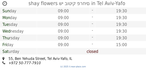
shay flowers שי בוטיק פרחים
Ben Yehuda Street 55, Tel Aviv-Yafo
Park
read more
1.283 km
shay flowers שי בוטיק פרחים
בן יהודה 55, תל אביב יפו
Park
read more
📑
all categories
Accounting
Administrative area level 1
Administrative area level 2
Airport
Amusement park
Aquarium
Art gallery
Atm
Bakery
Bank
Bar
Beauty salon
Bicycle store
Book store
Bowling alley
Bus station
Cafe
Campground
Car dealer
Car rental
Car repair
Car wash
Casino
Cemetery
Church
City hall
Clothing store
Colloquial area
Convenience store
Country
Courthouse
Dentist
Department store
Doctor
Electrician
Electronics store
Embassy
Establishment
Finance
Fire station
Florist
Food
Funeral home
Furniture store
Gas station
General contractor
Grocery or supermarket
Gym
Hair care
Hardware store
Health
Hindu Temple
Home goods store
Hospital
Insurance agency
Intersection
Jewelry store
Laundry
Lawyer
Library
Light rail station
Liquor store
Local government office
Locality
Locksmith
Lodging
Meal delivery
Meal takeaway
Mosque
Movie rental
Movie theater
Moving company
Museum
Natural feature
Neighborhood
Night club
Painter
Park
Parking
Pet store
Pharmacy
Physiotherapist
Place of worship
Plumber
Point of interest
Police
Political
Post office
Premise
Real estate agency
Restaurant
Roofing contractor
Route
Rv park, camping
School
Shoe store
Shopping mall
Spa
Stadium
Storage
Store
Subpremise
Subway station
Supermarket
Synagogue
Taxi stand
Train station
Transit station
Travel agency
University
Veterinary care
Zoo
administrative area level 3
administrative area level 4
sublocality level 1
↑