Night club nearby פאבוס
Israel
Night club nearby פאבוס
פאבוס
Кфар-Гилади, Израиль
contacts phone
:
+972 54-225-6075
website:
pubospub.wix.com
Latitude:
33.2401667
, Longitude:
35.5714491
larger map & directions
read more
nearest Night club
פאבוס
כפר גלעדי
Night club
read more
2.399 km
נווה משגב
משגב עם
Night club
read more
2.399 km
נווה משגב
Misgav Am
Night club
read more
5.073 km
darma bar
יציאה למחלף הגושרים, הגושרים
Night club
read more
5.073 km
darma bar
Exit to HaGoshrim Interchange, HaGoshrim
Night club
read more
8.183 km
klor center, kfar blum
מרכז קלור/כפר בלום,
Night club
read more
24.235 km
Shetach 100
Israel
Night club
read more
24.971 km
Secure Pahrma
Unnamed Road
Night club
read more
31.103 km
Whispers SpeakEasy
ירושלים 51, צפת
Night club
read more
48.522 km
בורה בורה
כביש 90, טבריה
Night club
read more
49.443 km
White House - Home entertainment
Derekh ha-Yotsrim 69, Nahariyya
Night club
read more
51.933 km
The northern penthouse
Herzl Street 125, Nahariyya
Night club
read more
51.933 km
הפנטהאוז הצפוני
הרצל 125, נהריה
Night club
read more
65.432 km
גיי טבעי
Sderot Robert Sold 40, Kiryat Yam
Night club
read more
66.631 km
מועדון הפלורה
Haifa
Night club
read more
66.823 km
Geek House
Haifa
Night club
read more
66.857 km
מתחם הנמלה
יקותיאל בהרב 34, חיפה
Night club
read more
66.886 km
גושפנקה צפון
Yekuti'el Beharav Street 29-41, Haifa
Night club
read more
67.041 km
Penthouse - Summer Club
HaHistadrut Avenue 249, Haifa
Night club
read more
67.103 km
קוליסאום מועדון
Khalutzei HaTa'a'ssiya Street 72, Haifa
Night club
read more
67.239 km
Hanamal Atlantis Summer club
Khalutzei HaTa'a'ssiya Street 114, Haifa
Night club
read more
67.474 km
קינג לופט
המעפילים 27, קרית אתא
Night club
read more
67.878 km
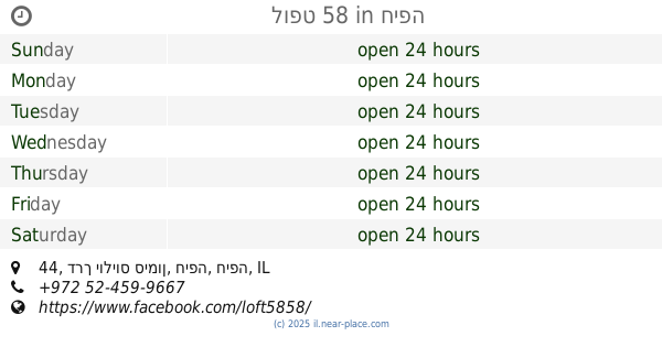
לופט 58
דרך יוליוס סימון 44, חיפה
Night club
read more
68.89 km
גשר בתי זקוק
Bell Street 14, Haifa
Night club
read more
70.309 km
מועדון המלינה
שדרות ההסתדרות 60, חיפה
Night club
read more
📑
all categories
Accounting
Administrative area level 1
Administrative area level 2
Airport
Amusement park
Aquarium
Art gallery
Atm
Bakery
Bank
Bar
Beauty salon
Bicycle store
Book store
Bowling alley
Bus station
Cafe
Campground
Car dealer
Car rental
Car repair
Car wash
Casino
Cemetery
Church
City hall
Clothing store
Colloquial area
Convenience store
Country
Courthouse
Dentist
Department store
Doctor
Electrician
Electronics store
Embassy
Establishment
Finance
Fire station
Florist
Food
Funeral home
Furniture store
Gas station
General contractor
Grocery or supermarket
Gym
Hair care
Hardware store
Health
Hindu Temple
Home goods store
Hospital
Insurance agency
Intersection
Jewelry store
Laundry
Lawyer
Library
Light rail station
Liquor store
Local government office
Locality
Locksmith
Lodging
Meal delivery
Meal takeaway
Mosque
Movie rental
Movie theater
Moving company
Museum
Natural feature
Neighborhood
Night club
Painter
Park
Parking
Pet store
Pharmacy
Physiotherapist
Place of worship
Plumber
Point of interest
Police
Political
Post office
Premise
Real estate agency
Restaurant
Roofing contractor
Route
Rv park, camping
School
Shoe store
Shopping mall
Spa
Stadium
Storage
Store
Subpremise
Subway station
Supermarket
Synagogue
Taxi stand
Train station
Transit station
Travel agency
University
Veterinary care
Zoo
administrative area level 3
administrative area level 4
sublocality level 1
↑