Natural feature nearby Sapir Observation Point
Israel
Natural feature nearby Sapir Observation Point
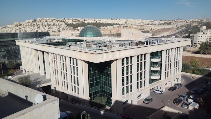
Sapir Observation Point
Sapir Observation Point, Jerusalem
contacts phone
:
+972
Latitude:
31.806098
, Longitude:
35.227063
larger map & directions
read more
nearest Natural feature
תצפית ספיר
ירושלים
Natural feature
read more
1.387 km
Ya'ar Ramot
Jerusalem
Natural feature
read more
1.694 km
הר חוצבים
ירושלים
Natural feature
read more
1.694 km
Гора Хотзвим
Јерусалим
Natural feature
read more
1.791 km
Bi'r `Umran
ירושלים
Natural feature
read more
1.949 km
Tall al Ful
ירושלים
Natural feature
read more
2.032 km
Har Hotsvim 795
Jerusalem
Natural feature
read more
2.032 km
הר חוצבים 795
ירושלים
Natural feature
read more
2.1 km
הגן הלאומי והאוניברסיטאי טבצ'ניק
ירושלים
Natural feature
read more
2.1 km
Tabechnik National & University Garden
Jerusalem
Natural feature
read more
2.106 km
מצפור גליק
ירושלים
Natural feature
read more
2.106 km
Glik Lookout Point
Jerusalem
Natural feature
read more
2.225 km
Góra Skopus
Jerozolima
Natural feature
read more
2.225 km
Mount Scopus
Jerusalem
Natural feature
read more
2.225 km
Skopus
Jerusalem
Natural feature
read more
2.225 km
הר הצופים
ירושלים
Natural feature
read more
2.225 km
Гора Скопус
Иерусалим
Natural feature
read more
2.225 km
Mt. Scopus
Jerusalem
Natural feature
read more
2.616 km
מצפור הלברט
ירושלים
Natural feature
read more
2.618 km
הר הצופים 782
ירושלים
Natural feature
read more
2.618 km
Mount Scopus\1
Jerusalem
Natural feature
read more
2.632 km
יער ענאתא (יער ענתות)
ישראל
Natural feature
read more
2.632 km
Anata Forest (Anatot Forest)
Israel
Natural feature
read more
3.159 km
بئر
القدس
Natural feature
read more
3.171 km
Ein Nafto'ah
Jerusalem
Natural feature
read more
📑
all categories
Accounting
Administrative area level 1
Administrative area level 2
Airport
Amusement park
Aquarium
Art gallery
Atm
Bakery
Bank
Bar
Beauty salon
Bicycle store
Book store
Bowling alley
Bus station
Cafe
Campground
Car dealer
Car rental
Car repair
Car wash
Casino
Cemetery
Church
City hall
Clothing store
Colloquial area
Convenience store
Country
Courthouse
Dentist
Department store
Doctor
Electrician
Electronics store
Embassy
Establishment
Finance
Fire station
Florist
Food
Funeral home
Furniture store
Gas station
General contractor
Grocery or supermarket
Gym
Hair care
Hardware store
Health
Hindu Temple
Home goods store
Hospital
Insurance agency
Intersection
Jewelry store
Laundry
Lawyer
Library
Light rail station
Liquor store
Local government office
Locality
Locksmith
Lodging
Meal delivery
Meal takeaway
Mosque
Movie rental
Movie theater
Moving company
Museum
Natural feature
Neighborhood
Night club
Painter
Park
Parking
Pet store
Pharmacy
Physiotherapist
Place of worship
Plumber
Point of interest
Police
Political
Post office
Premise
Real estate agency
Restaurant
Roofing contractor
Route
Rv park, camping
School
Shoe store
Shopping mall
Spa
Stadium
Storage
Store
Subpremise
Subway station
Supermarket
Synagogue
Taxi stand
Train station
Transit station
Travel agency
University
Veterinary care
Zoo
administrative area level 3
administrative area level 4
sublocality level 1
↑