Natural feature nearby חוף ורנדה
Israel
Natural feature nearby חוף ורנדה
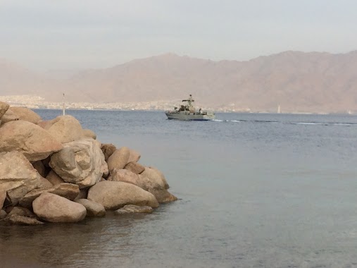
חוף ורנדה
חוף ורנדה
contacts phone
:
+972
Latitude:
29.5125197
, Longitude:
34.9255941
larger map & directions
read more
nearest Natural feature
209 m
The Village Beach
Israel
Natural feature
read more
209 m
חוף הויליג'
ישראל
Natural feature
read more
330 m
מרינה חוף אלמוג
אילת
Natural feature
read more
671 m
חוף אלמוגים
ישראל
Natural feature
read more
671 m
Coral Beach
Izrael
Natural feature
read more
703 m
The New Open Beach
Eilat
Natural feature
read more
703 m
החוף הפתוח החדש
אילת
Natural feature
read more
1.246 km
Har Zefahot
אילת
Natural feature
read more
1.485 km
הר צפחות 278
אילת
Natural feature
read more
1.485 km
Mount Tsefahot 278
Eilat
Natural feature
read more
1.496 km
חוף מגדלור
ישראל
Natural feature
read more
1.496 km
Migdalor Beach
Израиль
Natural feature
read more
1.562 km
חוף המגדלור
אילת
Natural feature
read more
1.848 km
Долфин Риф Бич
Эйлат
Natural feature
read more
1.848 km
חוף הדולפינים
ישראל
Natural feature
read more
1.848 km
Dolphin Reef
Israel
Natural feature
read more
1.848 km
Dolphin Reef Beach
Eilat
Natural feature
read more
1.848 km
Долфинс Бич
Израиль
Natural feature
read more
2.062 km
Ofir Beach
Eilat
Natural feature
read more
2.496 km
Hof Nesikha
Израиль
Natural feature
read more
2.496 km
Hof Nesikha
ישראל
Natural feature
read more
2.668 km
נמל אילת
אילת
Natural feature
read more
2.668 km
Puerto de Eilat
Eilat
Natural feature
read more
2.722 km
HaNesiha Beach
Israel
Natural feature
read more
2.722 km
HaNesiha Beach
Израиль
Natural feature
read more
📑
all categories
Accounting
Administrative area level 1
Administrative area level 2
Airport
Amusement park
Aquarium
Art gallery
Atm
Bakery
Bank
Bar
Beauty salon
Bicycle store
Book store
Bowling alley
Bus station
Cafe
Campground
Car dealer
Car rental
Car repair
Car wash
Casino
Cemetery
Church
City hall
Clothing store
Colloquial area
Convenience store
Country
Courthouse
Dentist
Department store
Doctor
Electrician
Electronics store
Embassy
Establishment
Finance
Fire station
Florist
Food
Funeral home
Furniture store
Gas station
General contractor
Grocery or supermarket
Gym
Hair care
Hardware store
Health
Hindu Temple
Home goods store
Hospital
Insurance agency
Intersection
Jewelry store
Laundry
Lawyer
Library
Light rail station
Liquor store
Local government office
Locality
Locksmith
Lodging
Meal delivery
Meal takeaway
Mosque
Movie rental
Movie theater
Moving company
Museum
Natural feature
Neighborhood
Night club
Painter
Park
Parking
Pet store
Pharmacy
Physiotherapist
Place of worship
Plumber
Point of interest
Police
Political
Post office
Premise
Real estate agency
Restaurant
Roofing contractor
Route
Rv park, camping
School
Shoe store
Shopping mall
Spa
Stadium
Storage
Store
Subpremise
Subway station
Supermarket
Synagogue
Taxi stand
Train station
Transit station
Travel agency
University
Veterinary care
Zoo
administrative area level 3
administrative area level 4
sublocality level 1
↑