Museum nearby Pastapharian Church St. Yaffi.
Israel
Museum nearby Pastapharian Church St. Yaffi.
Pastapharian Church St. Yaffi.
84, שדרות הרצל, ירושלים, IL ישראל
contacts phone
:
+972
Latitude:
31.7820799
, Longitude:
35.1893087
larger map & directions
read more
nearest Museum
653 m
Мисрад
Kanfei Nesharim Street 22, Jerusalem
Museum
read more
852 m
ארכיון אלברט אינשטיין
ירושלים
Museum
read more
930 m
National Hall of Remembrance
Herzl Blvd 124-128, Jerusalem
Museum
read more
930 m
היכל הזיכרון הלאומי
שדרות הרצל 124-128, ירושלים
Museum
read more
1.126 km
Bloomfield Science Museum Jerusalem
Sderot HaMuze'onim 3, Jerusalem
Museum
read more
1.15 km
מוזיאון ירושלים
המוזיאנים, Sderot HaMuze'onim, Jerusalem
Museum
read more
1.343 km
אנדרטאת נצר אחרון
Jerusalem
Museum
read more
1.376 km
עיר התנך
שדרות יצחק רבין 10, ירושלים
Museum
read more
1.473 km
Музей библейских стран
Shmuel Stephan Weiz Street 21, Jerusalem
Museum
read more
1.517 km
Bible Lands Museum
שמואל סטפן וויז 21, ירושלים
Museum
read more
1.566 km
Holyland Model of Jerusalem
Jerusalem
Museum
read more
1.566 km
דגם בית שני
ירושלים
Museum
read more
1.588 km
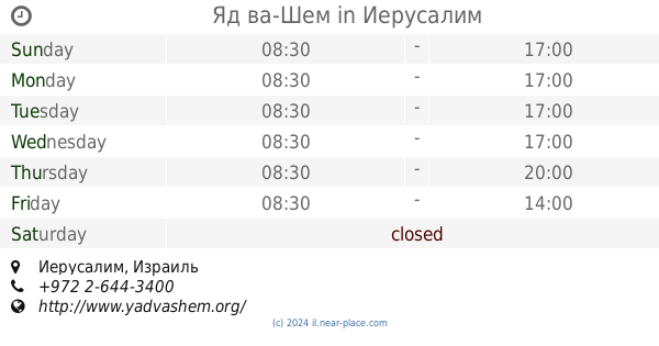
Яд ва-Шем
Jerusalem
Museum
read more
1.588 km
יד ושם
ירושלים
Museum
read more
1.592 km
Art Garden
נחמן אביגד, ירושלים
Museum
read more
1.608 km
היכל הספר
מוזיאון ישראל, שדרות רופין 11, ירושלים
Museum
read more
1.608 km
Shrine of the Book
מוזיאון ישראל, שדרות רופין 11, ירושלים
Museum
read more
1.608 km
The Shrine of the Book
מוזיאון ישראל, שדרות רופין 11, ירושלים
Museum
read more
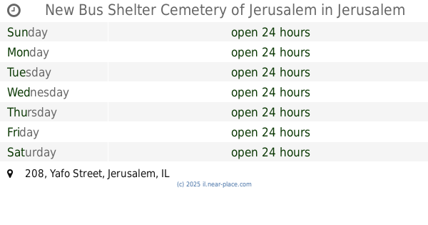
1.741 km
New Bus Shelter Cemetery of Jerusalem
Jaffa Street 208, Jerusalem
Museum
read more
1.741 km
New Bus Shelter Cemetery of Jerusalem
Yafo Street 208, Jerusalem
Museum
read more
1.781 km
מוזיאון ישראל
דרך רופין, ירושלים
Museum
read more
1.781 km
The Israel Museum, Jerusalem
Derech Ruppin, Jerusalem
Museum
read more
1.83 km
גן הפסלים בילי רוז
שדרות רופין 11, ירושלים
Museum
read more
1.934 km
מוזיאון גוש קטיף בירושלים
שערי צדק 5, ירושלים
Museum
read more
2.311 km
Theatre Ladino
הרב הרצוג 75, ירושלים
Museum
read more
📑
all categories
Accounting
Administrative area level 1
Administrative area level 2
Airport
Amusement park
Aquarium
Art gallery
Atm
Bakery
Bank
Bar
Beauty salon
Bicycle store
Book store
Bowling alley
Bus station
Cafe
Campground
Car dealer
Car rental
Car repair
Car wash
Casino
Cemetery
Church
City hall
Clothing store
Colloquial area
Convenience store
Country
Courthouse
Dentist
Department store
Doctor
Electrician
Electronics store
Embassy
Establishment
Finance
Fire station
Florist
Food
Funeral home
Furniture store
Gas station
General contractor
Grocery or supermarket
Gym
Hair care
Hardware store
Health
Hindu Temple
Home goods store
Hospital
Insurance agency
Intersection
Jewelry store
Laundry
Lawyer
Library
Light rail station
Liquor store
Local government office
Locality
Locksmith
Lodging
Meal delivery
Meal takeaway
Mosque
Movie rental
Movie theater
Moving company
Museum
Natural feature
Neighborhood
Night club
Painter
Park
Parking
Pet store
Pharmacy
Physiotherapist
Place of worship
Plumber
Point of interest
Police
Political
Post office
Premise
Real estate agency
Restaurant
Roofing contractor
Route
Rv park, camping
School
Shoe store
Shopping mall
Spa
Stadium
Storage
Store
Subpremise
Subway station
Supermarket
Synagogue
Taxi stand
Train station
Transit station
Travel agency
University
Veterinary care
Zoo
administrative area level 3
administrative area level 4
sublocality level 1
↑