Mosque nearby Station mosque
Coronavirus disease (COVID-19) Situation
confirmed cases
4841772
deaths
12707
Israel
Mosque nearby Station mosque
Station mosque
Apple Street Israel
contacts phone
:
+972
Latitude:
31.5142132
, Longitude:
34.4759831
read more
nearest Mosque
715 m
مسجد سيدنا ابراهيم
شارع المشاهرة
Mosque
read more
850 m
مسجد الحرمين
غزة التفاح شارع النخيل
Mosque
read more
969 m
Sidra Mosque
Al Sahaa Alkabera
Mosque
read more
1.081 km
مسجد حمزة
غزة الدرج شارع يافا
Mosque
read more
1.123 km
Huda mosque
חיפה, חורה
Mosque
read more
1.123 km
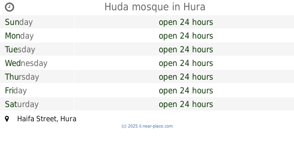
Huda mosque
Haifa Street, Hura
Mosque
read more
1.386 km
Mosque of forgiveness
The Tunnel Road
Mosque
read more
1.504 km
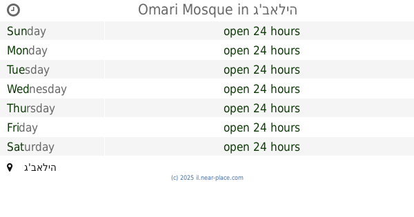
Omari Mosque
Jabalia
Mosque
read more
1.52 km
مسجد الشهيد القائد سعيد صيام
Tawfiq Ziad Street, Shefa-'Amr
Mosque
read more
1.52 km
مسجد الشهيد القائد سعيد صيام
תאופיק זיאד, שפרעם
Mosque
read more
1.554 km
Omari Grand Mosque
Omar Al-Mokhtar
Mosque
read more
1.568 km
Mr. Ali mosque Moroccan
Mosque
read more
1.626 km
مسجد الشيخ شعبان
ميدان فلسطين
Mosque
read more
1.637 km
Hera Mosque
Jabalia
Mosque
read more
1.685 km
مسجد السيدة رقية
الشجاعية, شارع بغداد, Nasiriyah
Mosque
read more
1.691 km
مسجد الهواشي
Ghaza
Mosque
read more
1.706 km
مسجد ابن عثمان
الشجاعية شارع السوق
Mosque
read more
1.708 km
مسجد التقوي
بجوار, Ahmed Aref 1
Mosque
read more
1.711 km
مسجد عثمان
الشجاعية شارع سوق الخضار
Mosque
read more
1.739 km
New Ajami Mosque
غزه شارع دير اللتين
Mosque
read more
1.935 km
مسجد الحسين بن علي
جباليا البلد شارع سرارى
Mosque
read more
2.025 km
مسجد الرحمن
Salaima Street
Mosque
read more
2.118 km
مسجد فلسطين
Falastin Street, Baghdad
Mosque
read more
2.251 km
مسجد الامام الشافعي
الزيتون عسقولة
Mosque
read more
2.674 km
Mosque Back
Jabalia
Mosque
read more
📑
all categories
Accounting
Administrative area level 1
Administrative area level 2
Airport
Amusement park
Aquarium
Art gallery
Atm
Bakery
Bank
Bar
Beauty salon
Bicycle store
Book store
Bowling alley
Bus station
Cafe
Campground
Car dealer
Car rental
Car repair
Car wash
Casino
Cemetery
Church
City hall
Clothing store
Colloquial area
Convenience store
Country
Courthouse
Dentist
Department store
Doctor
Electrician
Electronics store
Embassy
Establishment
Finance
Fire station
Florist
Food
Funeral home
Furniture store
Gas station
General contractor
Grocery or supermarket
Gym
Hair care
Hardware store
Health
Hindu Temple
Home goods store
Hospital
Insurance agency
Intersection
Jewelry store
Laundry
Lawyer
Library
Light rail station
Liquor store
Local government office
Locality
Locksmith
Lodging
Meal delivery
Meal takeaway
Mosque
Movie rental
Movie theater
Moving company
Museum
Natural feature
Neighborhood
Night club
Painter
Park
Parking
Pet store
Pharmacy
Physiotherapist
Place of worship
Plumber
Point of interest
Police
Political
Post office
Premise
Real estate agency
Restaurant
Roofing contractor
Route
Rv park, camping
School
Shoe store
Shopping mall
Spa
Stadium
Storage
Store
Subpremise
Subway station
Supermarket
Synagogue
Taxi stand
Train station
Transit station
Travel agency
University
Veterinary care
Zoo
administrative area level 3
administrative area level 4
sublocality level 1
↑