Mosque nearby مصلى ابراهيم الخليل
Israel
Mosque nearby مصلى ابراهيم الخليل
مصلى ابراهيم الخليل
באר שבע, ישראל
contacts phone
:
+972
Latitude:
31.2603108
, Longitude:
34.8027265
larger map & directions
read more
nearest Mosque
مصلى ابراهيم الخليل
Be'er Sheva
Mosque
read more
2.484 km
Beer-Sheva Mosque
הדסה 67, באר שבע
Mosque
read more
4.673 km
A-Dawa Mosque
Tel as-Sabi
Mosque
read more
5.209 km
El-Rasalla Mosque
Tel as-Sabi
Mosque
read more
5.209 km
מסגד אלרסאלה
תל שבע
Mosque
read more
5.26 km
مسجد النور
Tel as-Sabi
Mosque
read more
5.716 km
al Hijra Mosque
Tel as-Sabi
Mosque
read more
7.125 km
alTaba Mosque
Shaqib al-Salam
Mosque
read more
7.559 km
مسجد الرضوان
14, Shaqib al-Salam
Mosque
read more
7.581 km
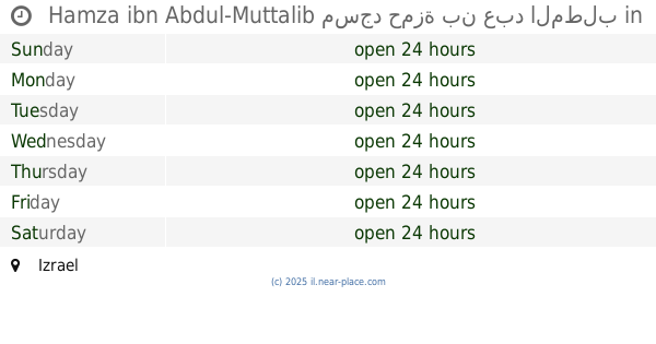
Hamza ibn Abdul-Muttalib مسجد حمزة بن عبد المطلب
Israel
Mosque
read more
8.975 km
מסגד אלאעתסאם
לקיה
Mosque
read more
9.479 km
מסגד אבו באכר
לקיה
Mosque
read more
9.663 km
Alhoahalh Mosque
Beer Szewa
Mosque
read more
9.663 km
Alhoahalh Mosque
Be'er Sheva
Mosque
read more
9.663 km
مسجد الهواشله
באר שבע
Mosque
read more
9.663 km
Alhoahalh Mosque
Беэр-Шева
Mosque
read more
11.632 km
مسجد الصحابه
Беэр-Шева
Mosque
read more
12.221 km
مسجد عمر بن الخطاب حورة
חורה
Mosque
read more
12.746 km
مسجد النور حورة
חורה
Mosque
read more
13.287 km
Rabat Mosque
Alribh'at Street 902, Hura
Mosque
read more
13.287 km
Rabat Mosque
אלריבאט 902, חורה
Mosque
read more
13.502 km
ابن تيميه
167, 166-, Hura
Mosque
read more
13.852 km
Murabitoun mosque
El Albit Street 202, Hura
Mosque
read more
14.704 km
Mosque of Ibn Bass
Беэр-Шева
Mosque
read more
14.74 km
مسجد الميثاق
Israel
Mosque
read more
📑
all categories
Accounting
Administrative area level 1
Administrative area level 2
Airport
Amusement park
Aquarium
Art gallery
Atm
Bakery
Bank
Bar
Beauty salon
Bicycle store
Book store
Bowling alley
Bus station
Cafe
Campground
Car dealer
Car rental
Car repair
Car wash
Casino
Cemetery
Church
City hall
Clothing store
Colloquial area
Convenience store
Country
Courthouse
Dentist
Department store
Doctor
Electrician
Electronics store
Embassy
Establishment
Finance
Fire station
Florist
Food
Funeral home
Furniture store
Gas station
General contractor
Grocery or supermarket
Gym
Hair care
Hardware store
Health
Hindu Temple
Home goods store
Hospital
Insurance agency
Intersection
Jewelry store
Laundry
Lawyer
Library
Light rail station
Liquor store
Local government office
Locality
Locksmith
Lodging
Meal delivery
Meal takeaway
Mosque
Movie rental
Movie theater
Moving company
Museum
Natural feature
Neighborhood
Night club
Painter
Park
Parking
Pet store
Pharmacy
Physiotherapist
Place of worship
Plumber
Point of interest
Police
Political
Post office
Premise
Real estate agency
Restaurant
Roofing contractor
Route
Rv park, camping
School
Shoe store
Shopping mall
Spa
Stadium
Storage
Store
Subpremise
Subway station
Supermarket
Synagogue
Taxi stand
Train station
Transit station
Travel agency
University
Veterinary care
Zoo
administrative area level 3
administrative area level 4
sublocality level 1
↑