Mosque nearby مسجد صير
Israel
Mosque nearby مسجد صير
مسجد صير
شارع الحسام, Tarut Израиль
contacts phone
:
+972
Latitude:
32.3637966
, Longitude:
35.314336
read more
nearest Mosque
2.914 km
مسجد البركه
Jenin, Judida
Mosque
read more
3.293 km
مسجد ابو تفاحه
Jenin, Judida, Main St
Mosque
read more
3.447 km
مسجد الهدى
Jenin, Judida
Mosque
read more
3.677 km
مسجد زيد بن حارثة
الرئيسي جنين-مسيلية
Mosque
read more
4.346 km
Salah al-Din Mosque
Meithalun
Mosque
read more
5.454 km
Zahra mosque
8 4، Долна Василица
Mosque
read more
5.791 km
Salah al-Din Mosque
Panamericana Norte 1
Mosque
read more
5.858 km
مسجد شهداء الحق
32°24'18.8"N 35°16'32., 9, Hadera
Mosque
read more
6.524 km
مسجد التوحيد
Jenin Street, Kasba Tadla
Mosque
read more
6.573 km
Khalid ibn al-Walid Mosque
3 7، Разлив
Mosque
read more
7.291 km
Omar Ibn Alkhatab Mosque
Jõhvi–Tartu–Valga 3، Rõngu
Mosque
read more
7.75 km
נבי חזקין
Israel
Mosque
read more
10.783 km
مسجد صلاح الدين الايوبي
شارع تحت السكة
Mosque
read more
13.275 km
Abu Khalil Mousqe
32°15'02.1"N 35°16'10.0"E
Mosque
read more
13.309 km
المسجد الكبير
Burqa
Mosque
read more
13.512 km
مسجد الهدى الشرقي
الحارة الشرقية -برقة
Mosque
read more
13.675 km
קבר שייח' בילל
Israel
Mosque
read more
13.675 km
Tomb of Sheikh Bilal
Israel
Mosque
read more
14.772 km
Tariq Ibn Ziad mosque
الحارة الشرقية
Mosque
read more
15.432 km
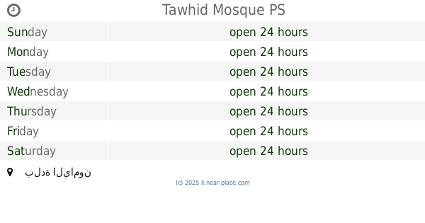
Tawhid Mosque
بلدة اليامون
Mosque
read more
15.624 km
مسجد القديم
بلدة اليامون
Mosque
read more
15.823 km
مسجد عز الدين القسام
Haret Al Hwshai
Mosque
read more
16.07 km
مسجد عزالدين القسام
Upper Fans Lane, Iwade
Mosque
read more
16.137 km
مسجد الصالحين
مسجد الصالحين -اليامون
Mosque
read more
16.245 km
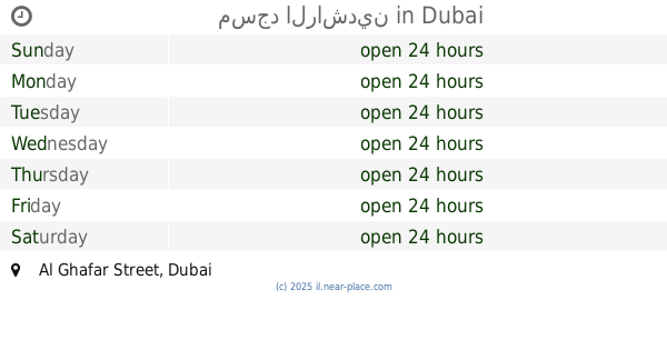
مسجد الراشدين
Al Ghafar Street, Dubai
Mosque
read more
📑
all categories
Accounting
Administrative area level 1
Administrative area level 2
Airport
Amusement park
Aquarium
Art gallery
Atm
Bakery
Bank
Bar
Beauty salon
Bicycle store
Book store
Bowling alley
Bus station
Cafe
Campground
Car dealer
Car rental
Car repair
Car wash
Casino
Cemetery
Church
City hall
Clothing store
Colloquial area
Convenience store
Country
Courthouse
Dentist
Department store
Doctor
Electrician
Electronics store
Embassy
Establishment
Finance
Fire station
Florist
Food
Funeral home
Furniture store
Gas station
General contractor
Grocery or supermarket
Gym
Hair care
Hardware store
Health
Hindu Temple
Home goods store
Hospital
Insurance agency
Intersection
Jewelry store
Laundry
Lawyer
Library
Light rail station
Liquor store
Local government office
Locality
Locksmith
Lodging
Meal delivery
Meal takeaway
Mosque
Movie rental
Movie theater
Moving company
Museum
Natural feature
Neighborhood
Night club
Painter
Park
Parking
Pet store
Pharmacy
Physiotherapist
Place of worship
Plumber
Point of interest
Police
Political
Post office
Premise
Real estate agency
Restaurant
Roofing contractor
Route
Rv park, camping
School
Shoe store
Shopping mall
Spa
Stadium
Storage
Store
Subpremise
Subway station
Supermarket
Synagogue
Taxi stand
Train station
Transit station
Travel agency
University
Veterinary care
Zoo
administrative area level 3
administrative area level 4
sublocality level 1
↑