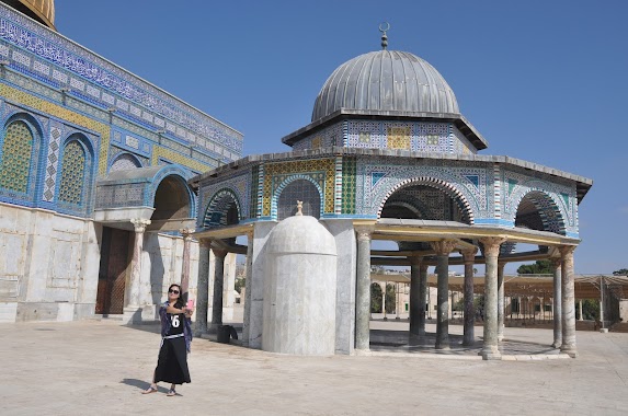
Mosque nearby Alkholafa Mosque
Israel
Mosque nearby Alkholafa Mosque
Alkholafa Mosque
Ammar Ibn Yasser Street
contacts phone
:
+972
Latitude:
31.7010458
, Longitude:
35.1846331
larger map & directions
read more
nearest Mosque
895 m
Zaid Bin Thabet Mosque
Zaid Bin Thabit Street
Mosque
read more
1.693 km
מסגד בית ג'אלא
Israel
Mosque
read more
1.693 km
Beit Jala Mosque
Israel
Mosque
read more
5.444 km
Umar ibn Al-Khattab Mosque
ירושלים
Mosque
read more
5.444 km
Umar ibn Al-Khattab Mosque
Иерусалим
Mosque
read more
6.405 km
مسجد الدعوة
صورباهر
Mosque
read more
8.42 km
مسجد الفضيلة
דרך עזה, ירושלים
Mosque
read more
9.462 km
Osman Mosque
Jerusalem
Mosque
read more
9.642 km
Al-Aqsa Mosque
Jerusalem
Mosque
read more
9.735 km
Мечеть Эль-Марвана
Jerusalem
Mosque
read more
9.908 km
שורבג'י
ירושלים
Mosque
read more
9.913 km
זאוויית אל בוחריה
ירושלים
Mosque
read more
9.913 km
Lacustris angle
Jerusalem
Mosque
read more
10.091 km
אל חמרה
ירושלים
Mosque
read more
10.21 km
al Adhami
Jerusalem
Mosque
read more
10.212 km
لجنة زكاة القدس
Jerusalem
Mosque
read more
12.078 km
מסגד עין נקובא
Ein Naqquba
Mosque
read more
12.668 km
المسجد العمري القديم (مسجد صوريف الكبير)
The Samuel Soref School of Mechanical Engineering Building, Be'er Sheva
Mosque
read more
13.798 km
שייח' נבי לימון
Israel
Mosque
read more
13.886 km
קבר שייח' איסמעיל אל ענבואי
אבו גוש
Mosque
read more
13.886 km
Tomb of Sheikh Ismail Anaba
Abu Ghosh
Mosque
read more
13.94 km
Tomb of Sheikh Issa al-Aqra
Abu Ghosh
Mosque
read more
14.034 km
Tomb of Sheikh Mustafa Abu Ghosh
Abu Ghosh
Mosque
read more
14.034 km
קבר שייח' מוסטפה אבו גוש
אבו גוש
Mosque
read more
18.216 km
Halilurrahman Câmii, El Halil
El-Khalil Street, Kafr Qasim
Mosque
read more
📑
all categories
Accounting
Administrative area level 1
Administrative area level 2
Airport
Amusement park
Aquarium
Art gallery
Atm
Bakery
Bank
Bar
Beauty salon
Bicycle store
Book store
Bowling alley
Bus station
Cafe
Campground
Car dealer
Car rental
Car repair
Car wash
Casino
Cemetery
Church
City hall
Clothing store
Colloquial area
Convenience store
Country
Courthouse
Dentist
Department store
Doctor
Electrician
Electronics store
Embassy
Establishment
Finance
Fire station
Florist
Food
Funeral home
Furniture store
Gas station
General contractor
Grocery or supermarket
Gym
Hair care
Hardware store
Health
Hindu Temple
Home goods store
Hospital
Insurance agency
Intersection
Jewelry store
Laundry
Lawyer
Library
Light rail station
Liquor store
Local government office
Locality
Locksmith
Lodging
Meal delivery
Meal takeaway
Mosque
Movie rental
Movie theater
Moving company
Museum
Natural feature
Neighborhood
Night club
Painter
Park
Parking
Pet store
Pharmacy
Physiotherapist
Place of worship
Plumber
Point of interest
Police
Political
Post office
Premise
Real estate agency
Restaurant
Roofing contractor
Route
Rv park, camping
School
Shoe store
Shopping mall
Spa
Stadium
Storage
Store
Subpremise
Subway station
Supermarket
Synagogue
Taxi stand
Train station
Transit station
Travel agency
University
Veterinary care
Zoo
administrative area level 3
administrative area level 4
sublocality level 1
↑