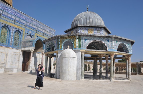
Mosque nearby Abidin Mosque
Israel
Mosque nearby Abidin Mosque
Abidin Mosque
El-Muqdasi Street, Jerusalem
contacts phone
:
+972
Latitude:
31.7892132
, Longitude:
35.2372808
larger map & directions
read more
nearest Mosque
794 m
Sheikh Jarah Mosque
Nablus Road, Jerusalem
Mosque
read more
794 m
Sheikh Jarah Mosque
Shem Road, Jerusalem
Mosque
read more
794 m
Sheikh Jarah Mosque
דרך שכם, ירושלים
Mosque
read more
814 m
al Adhami
Jerusalem
Mosque
read more
856 m
Makki
Jerusalem
Mosque
read more
856 m
מכי
ירושלים
Mosque
read more
907 m
אל חמרה
ירושלים
Mosque
read more
935 m
מסגד סעד וסעיד
ירושלים
Mosque
read more
998 m
Sheikh Reihan Mosque
Jerusalem
Mosque
read more
1.02 km
Sheikh Lulu
Jerusalem
Mosque
read more
1.054 km
جامع شيخ ريحان
Damascus Drive, West Gate
Mosque
read more
1.064 km
لجنة زكاة القدس
Jerusalem
Mosque
read more
1.064 km
لجنة زكاة القدس
ירושלים
Mosque
read more
1.089 km
Lacustris angle
Jerusalem
Mosque
read more
1.089 km
זאוויית אל בוחריה
ירושלים
Mosque
read more
1.095 km
שורבג'י
ירושלים
Mosque
read more
1.1 km
Umayr bin Mis'ab
Jerusalem
Mosque
read more
1.257 km
כיפת הסלע
ירושלים
Mosque
read more
1.434 km
Мечеть Эль-Марвана
Jerusalem
Mosque
read more
1.446 km
Omar-Moschee
Jerusalem
Mosque
read more
1.446 km
עומר
ירושלים
Mosque
read more
1.468 km
Al-Aqsa Mosque
Jerusalem
Mosque
read more
1.468 km
Эль-Акса
Jerusalem
Mosque
read more
1.533 km
Osman Mosque
Jerusalem
Mosque
read more
1.533 km
מסגד עות'מאן
ירושלים
Mosque
read more
📑
all categories
Accounting
Administrative area level 1
Administrative area level 2
Airport
Amusement park
Aquarium
Art gallery
Atm
Bakery
Bank
Bar
Beauty salon
Bicycle store
Book store
Bowling alley
Bus station
Cafe
Campground
Car dealer
Car rental
Car repair
Car wash
Casino
Cemetery
Church
City hall
Clothing store
Colloquial area
Convenience store
Country
Courthouse
Dentist
Department store
Doctor
Electrician
Electronics store
Embassy
Establishment
Finance
Fire station
Florist
Food
Funeral home
Furniture store
Gas station
General contractor
Grocery or supermarket
Gym
Hair care
Hardware store
Health
Hindu Temple
Home goods store
Hospital
Insurance agency
Intersection
Jewelry store
Laundry
Lawyer
Library
Light rail station
Liquor store
Local government office
Locality
Locksmith
Lodging
Meal delivery
Meal takeaway
Mosque
Movie rental
Movie theater
Moving company
Museum
Natural feature
Neighborhood
Night club
Painter
Park
Parking
Pet store
Pharmacy
Physiotherapist
Place of worship
Plumber
Point of interest
Police
Political
Post office
Premise
Real estate agency
Restaurant
Roofing contractor
Route
Rv park, camping
School
Shoe store
Shopping mall
Spa
Stadium
Storage
Store
Subpremise
Subway station
Supermarket
Synagogue
Taxi stand
Train station
Transit station
Travel agency
University
Veterinary care
Zoo
administrative area level 3
administrative area level 4
sublocality level 1
↑