IsraelJenin
Jenin
Administrative Region:
Judea and Samaria Area
population:
48 479
calling code:
+972-4
postcode:
P201
Location on the map of Israel
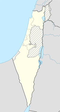
Jenin
Beauty salon


Euphoria Beauty Center
Hadad building second floor #209 /عمارة حداد الطابق الثاني 209 University Street / شارع الجامعة Cinema Roundabout,In Front Of Bus Station/ دوار السينما مقابل كراج السيارات jenin / جنين
Doctor

Lawyer

Clothing store


Hareer Lingerie حرير لتجهيز العرائس و الفرش البيتي
دوار يحيى عياش، دخلة بنك الإستثمار، بجانب جفرا للعرائس, Jenin


Gas station

📑 Jenin all categories
BakeryBankBeauty salonCafeCar rentalCemeteryClothing storeCourthouseDentistDoctorElectronics storeFoodFurniture storeGas stationGeneral contractorGrocery or supermarketHair careHealthHome goods storeHospitalJewelry storeLaundryLawyerLibraryLocal government officeLodgingMosqueNatural featureParkPharmacyPoint of interestRestaurantSchoolShoe storeShopping mallSpaStoreSupermarketTravel agencyUniversity