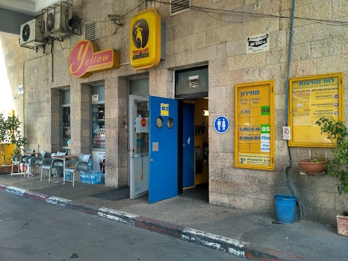
Gas station nearby תחנת דלק יער ביתר
Israel
Gas station nearby תחנת דלק יער ביתר
תחנת דלק יער ביתר
הגדה המערבית
contacts phone
:
+972
Latitude:
31.7148894
, Longitude:
35.1207373
larger map & directions
read more
nearest Gas station
5.23 km
مكتب تاكسي العرقوب
al-Khader
Gas station
read more
5.98 km
Delek
Jerusalem
Gas station
read more
5.98 km
Delek Ora
Jerusalem
Gas station
read more
5.98 km
צומת אורה
ירושלים
Gas station
read more
7.731 km
סונול
דרך דוד בנבנישתי, ירושלים
Gas station
read more
9.274 km
סונול מעוז ציון
שבע אחיות, מעוז ציון
Gas station
read more
9.299 km
Sonol
Tirtsa Street, Jerusalem
Gas station
read more
9.363 km
פז תלפיות
הסדנא, ירושלים
Gas station
read more
9.654 km
דור אלון הרכבים תלפיות
הרכבים 5, ירושלים
Gas station
read more
9.843 km
סונל144
כנפי נשרים, ירושלים
Gas station
read more
10.241 km
Paz Sho'eva
כביש 1, שואבה
Gas station
read more
10.321 km
Paz Givat Shaul
Beit Ha-Defus Street, Jerusalem
Gas station
read more
10.517 km
Paz Allenby
Hebron Road 99, Jerusalem
Gas station
read more
11.154 km
Paz
Weizman Boulevard, Jerusalem
Gas station
read more
11.154 km
פז העשור
שדרות וייצמן, ירושלים
Gas station
read more
11.304 km
Paz
שדרות בן צבי, ירושלים
Gas station
read more
11.716 km
King David Paz
King David 19, Jerusalem
Gas station
read more
12.824 km
פז
אזור תעשיה צפוני, שדרות יגאל אלון, בית שמש
Gas station
read more
12.833 km
פז מנדלבאום
1, פיקוד המרכז, ירושלים
Gas station
read more
12.88 km
Сонол
Yig'al Alon Ave 22, Bet Shemesh
Gas station
read more
13.204 km
דור אלון הר טוב
המלאכה 3
Gas station
read more
13.912 km
פז רמת אשכול
רח פראן, ירושלים
Gas station
read more
16.573 km
Pisgat Zeev Paz
Sderot Moshe Dayan, Jerusalem
Gas station
read more
18.096 km
דלק נווה יעקב
Leah Goldberg Street 1, Jerusalem
Gas station
read more
18.096 km
דלק נווה יעקב
לאה גולדברג 1, ירושלים
Gas station
read more
📑
all categories
Accounting
Administrative area level 1
Administrative area level 2
Airport
Amusement park
Aquarium
Art gallery
Atm
Bakery
Bank
Bar
Beauty salon
Bicycle store
Book store
Bowling alley
Bus station
Cafe
Campground
Car dealer
Car rental
Car repair
Car wash
Casino
Cemetery
Church
City hall
Clothing store
Colloquial area
Convenience store
Country
Courthouse
Dentist
Department store
Doctor
Electrician
Electronics store
Embassy
Establishment
Finance
Fire station
Florist
Food
Funeral home
Furniture store
Gas station
General contractor
Grocery or supermarket
Gym
Hair care
Hardware store
Health
Hindu Temple
Home goods store
Hospital
Insurance agency
Intersection
Jewelry store
Laundry
Lawyer
Library
Light rail station
Liquor store
Local government office
Locality
Locksmith
Lodging
Meal delivery
Meal takeaway
Mosque
Movie rental
Movie theater
Moving company
Museum
Natural feature
Neighborhood
Night club
Painter
Park
Parking
Pet store
Pharmacy
Physiotherapist
Place of worship
Plumber
Point of interest
Police
Political
Post office
Premise
Real estate agency
Restaurant
Roofing contractor
Route
Rv park, camping
School
Shoe store
Shopping mall
Spa
Stadium
Storage
Store
Subpremise
Subway station
Supermarket
Synagogue
Taxi stand
Train station
Transit station
Travel agency
University
Veterinary care
Zoo
administrative area level 3
administrative area level 4
sublocality level 1
↑