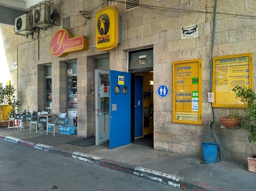
Gas station nearby Rockefeller Paz
Israel
Gas station nearby Rockefeller Paz
Rockefeller Paz
Rockefeller Garden, Jerusalem
contacts phone
:
+972 1-800-774-774
website:
www.paz.co.il
Latitude:
31.7838308
, Longitude:
35.2376584
larger map & directions
read more
nearest Gas station
832 m
Mendelbaum
Jerusalem
Gas station
read more
832 m
דור אלון מנדלבאום
ירושלים
Gas station
read more
933 m
פז מנדלבאום
1, פיקוד המרכז, ירושלים
Gas station
read more
1.125 km
שייח ג'ראח
ירושלים
Gas station
read more
1.156 km
Paz Mea She'arim
Shivtei Israel Street 44, Jerusalem
Gas station
read more
1.156 km
Paz Mea She'arim
שבטי ישראל 44, ירושלים
Gas station
read more
1.369 km
פז עזריה
דרך יריחו, ירושלים
Gas station
read more
1.369 km
Azaria Paz
Derekh Yerikho, Jerusalem
Gas station
read more
1.736 km
פז המלך דוד
דוד המלך 19, ירושלים
Gas station
read more
1.736 km
King David Paz
King David 19, Jerusalem
Gas station
read more
1.736 km
Paz
King David 19, Jerusalem
Gas station
read more
1.896 km
Delek
החי"ל פינת לוחמי הגטאות, Ha-Khayil Street, Jerusalem
Gas station
read more
1.896 km
דלק הגבעה הצרפתית
החי"ל פינת לוחמי הגטאות, Ha-Khayil Street, Jerusalem
Gas station
read more
2.159 km
פז רמת אשכול
רח פראן, ירושלים
Gas station
read more
2.219 km
Amoco
E-Shaikh St
Gas station
read more
2.732 km
פז
דרך בית לחם 11, ירושלים
Gas station
read more
2.732 km
פז
בית לחם 11, ירושלים
Gas station
read more
2.732 km
פז
Derech Beit Lehem 11, Jerusalem
Gas station
read more
2.732 km
Paz
Derech Beit Lehem 11, Jerusalem
Gas station
read more
2.756 km
Paz
Sderot Ben Tsvi, Jerusalem
Gas station
read more
2.756 km
Paz
שדרות בן צבי, ירושלים
Gas station
read more
2.846 km
פז העשור
שד' ויצמן 3, Jerusalem
Gas station
read more
3.05 km
Paz Ramot
Ha-Marpe Street 2, Jerusalem
Gas station
read more
3.571 km
Delek Oranim Gas Station
General Pierre Koenig Street 2, Jerusalem
Gas station
read more
3.571 km
Delek
גנרל פייר קניג 2, ירושלים
Gas station
read more
📑
all categories
Accounting
Administrative area level 1
Administrative area level 2
Airport
Amusement park
Aquarium
Art gallery
Atm
Bakery
Bank
Bar
Beauty salon
Bicycle store
Book store
Bowling alley
Bus station
Cafe
Campground
Car dealer
Car rental
Car repair
Car wash
Casino
Cemetery
Church
City hall
Clothing store
Colloquial area
Convenience store
Country
Courthouse
Dentist
Department store
Doctor
Electrician
Electronics store
Embassy
Establishment
Finance
Fire station
Florist
Food
Funeral home
Furniture store
Gas station
General contractor
Grocery or supermarket
Gym
Hair care
Hardware store
Health
Hindu Temple
Home goods store
Hospital
Insurance agency
Intersection
Jewelry store
Laundry
Lawyer
Library
Light rail station
Liquor store
Local government office
Locality
Locksmith
Lodging
Meal delivery
Meal takeaway
Mosque
Movie rental
Movie theater
Moving company
Museum
Natural feature
Neighborhood
Night club
Painter
Park
Parking
Pet store
Pharmacy
Physiotherapist
Place of worship
Plumber
Point of interest
Police
Political
Post office
Premise
Real estate agency
Restaurant
Roofing contractor
Route
Rv park, camping
School
Shoe store
Shopping mall
Spa
Stadium
Storage
Store
Subpremise
Subway station
Supermarket
Synagogue
Taxi stand
Train station
Transit station
Travel agency
University
Veterinary care
Zoo
administrative area level 3
administrative area level 4
sublocality level 1
↑