Gas station nearby Пляж Кинерета
Israel
Gas station nearby Пляж Кинерета
Пляж Кинерета
Тверия, Израиль
contacts phone
:
+972
Latitude:
32.8053733
, Longitude:
35.5286194
larger map & directions
read more
nearest Gas station
1.595 km
מתחם פז סנטר טבריה עיר
אלחדיף 14, טבריה
Gas station
read more
1.595 km
מתחם פז סנטר טבריה עיר
Al Hadif Street 14, Tiberias
Gas station
read more
1.596 km
Paz Tiberias City
Al Hadif Street, Tiberias
Gas station
read more
1.596 km
פז טבריה עיר
אלחדיף, טבריה
Gas station
read more
1.685 km
דלק טבריה
יהודה הלוי, טבריה
Gas station
read more
1.685 km
Delek Tiberias
Yehuda Halevi Street, Tiberias
Gas station
read more
1.717 km
Menta Gas Station
Tiberias
Gas station
read more
1.717 km
Menta Gas Station
טבריה
Gas station
read more
1.95 km
Sonol, City Of Tverya
Al Hadif Street 31, Tiberias
Gas station
read more
1.95 km
סונול טבריה העיר
אלחדיף 31, טבריה
Gas station
read more
1.95 km
Сонол
Al Hadif Street 31, Tiberias
Gas station
read more
2.03 km
סונול
טבריה
Gas station
read more
2.03 km
Sonol
Tiberias
Gas station
read more
2.038 km
Paz Mitzpe Golan
Sderot Sapir, Tiberias
Gas station
read more
2.057 km
Dor Alon
23, Ha-Yarden Street, Tiberias
Gas station
read more
2.316 km
באר מרים 26 שי בעמ
ברנר 0, טבריה
Gas station
read more
2.434 km
Tal
Tiberias
Gas station
read more
2.682 km
טבריה עילית סונול
David Elazar Street 1105, Tiberias
Gas station
read more
2.967 km
מיקה מגדל
מגדל
Gas station
read more
3.071 km
Sonol Migdal
Migdal
Gas station
read more
3.635 km
Upper Tiberias Paz
Ha-Nasi Weizman Street, Tiberias
Gas station
read more
3.69 km
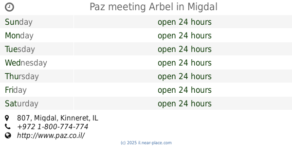
Paz meeting Arbel
807, Migdal
Gas station
read more
3.726 km
Ten Tiberias
א.ת. טבריה עילית, ויצמן, טבריה
Gas station
read more
3.98 km
Delek Arazim
HaPanas Street 1, Tiberias
Gas station
read more
4.007 km
פאי
טבריה
Gas station
read more
📑
all categories
Accounting
Administrative area level 1
Administrative area level 2
Airport
Amusement park
Aquarium
Art gallery
Atm
Bakery
Bank
Bar
Beauty salon
Bicycle store
Book store
Bowling alley
Bus station
Cafe
Campground
Car dealer
Car rental
Car repair
Car wash
Casino
Cemetery
Church
City hall
Clothing store
Colloquial area
Convenience store
Country
Courthouse
Dentist
Department store
Doctor
Electrician
Electronics store
Embassy
Establishment
Finance
Fire station
Florist
Food
Funeral home
Furniture store
Gas station
General contractor
Grocery or supermarket
Gym
Hair care
Hardware store
Health
Hindu Temple
Home goods store
Hospital
Insurance agency
Intersection
Jewelry store
Laundry
Lawyer
Library
Light rail station
Liquor store
Local government office
Locality
Locksmith
Lodging
Meal delivery
Meal takeaway
Mosque
Movie rental
Movie theater
Moving company
Museum
Natural feature
Neighborhood
Night club
Painter
Park
Parking
Pet store
Pharmacy
Physiotherapist
Place of worship
Plumber
Point of interest
Police
Political
Post office
Premise
Real estate agency
Restaurant
Roofing contractor
Route
Rv park, camping
School
Shoe store
Shopping mall
Spa
Stadium
Storage
Store
Subpremise
Subway station
Supermarket
Synagogue
Taxi stand
Train station
Transit station
Travel agency
University
Veterinary care
Zoo
administrative area level 3
administrative area level 4
sublocality level 1
↑