Gas station nearby Paz
Israel
Gas station nearby Paz
Paz
ישפרו סנטר, המכונאי 2, מודיעין מכבים רעות Израиль
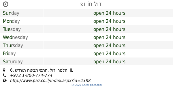
contacts phone
:
+972
Latitude:
31.8893404
, Longitude:
34.9601908
read more
nearest Gas station
פז
ישפרו סנטר, המכונאי 2, מודיעין מכבים רעות
Gas station
read more
690 m
Mika
HaMelahot Boulevard 4, Modi'in-Maccabim-Re'ut
Gas station
read more
690 m
מיקה
שדרות המלאכות 4, מודיעין מכבים רעות
Gas station
read more
2.839 km
אברך אלון
Galil, Sha'alvim
Gas station
read more
3.888 km
דלק מנטה
השדרה המרכזית 15, מודיעין מכבים רעות
Gas station
read more
3.888 km
דלק מנטה
HaShdera HaMerkazit 15, Modi'in-Maccabim-Re'ut
Gas station
read more
3.899 km
Delek Fuel
Modi'in-Maccabim-Re'ut
Gas station
read more
3.899 km
Delek דלק
מודיעין מכבים רעות
Gas station
read more
4.702 km
פז yello ליגד
אזור תעשייה, Ligad Street, Modi'in-Maccabim-Re'ut
Gas station
read more
4.715 km
פז מודיעין
HaRehes Avenue, מודיעין מכבים רעות
Gas station
read more
5.634 km
Delek Menta 24 Hour
Modi'in-Maccabim-Re'ut
Gas station
read more
5.635 km
דלק ארז
Modi'in-Maccabim-Re'ut
Gas station
read more
5.635 km
Delek Erez Modi'in
Modi'in-Maccabim-Re'ut
Gas station
read more
5.635 km
Delek
Modi'in-Maccabim-Re'ut
Gas station
read more
7.496 km
תחנת דלק דלק נשר
רמלה
Gas station
read more
9.962 km
פז
שדרות חטיבת יפתח 6, לוד
Gas station
read more
9.962 km
פז
Sderot Hativat Yiftach 6, Lod
Gas station
read more
12.687 km
קרן היסוד באר יעקב
HaShoshanim Street 4, Be'er Ya'akov
Gas station
read more
13.635 km
דור אלון הר טוב
המלאכה 3
Gas station
read more
13.681 km
Sha'arayim
Rehovot
Gas station
read more
15.276 km
Сонол
Yig'al Alon Ave 22, Bet Shemesh
Gas station
read more
16.892 km
דור אלון מיקה פריימן
יעקב פריימן 18, ראשון לציון
Gas station
read more
17.039 km
תחנת דלק טן
הרצל 79, ראשון לציון
Gas station
read more
17.367 km
ראשלצ משמר
Rishon LeTsiyon
Gas station
read more
20.007 km
נובר
HaMerkava Street 18, Holon
Gas station
read more
📑
all categories
Accounting
Administrative area level 1
Administrative area level 2
Airport
Amusement park
Aquarium
Art gallery
Atm
Bakery
Bank
Bar
Beauty salon
Bicycle store
Book store
Bowling alley
Bus station
Cafe
Campground
Car dealer
Car rental
Car repair
Car wash
Casino
Cemetery
Church
City hall
Clothing store
Colloquial area
Convenience store
Country
Courthouse
Dentist
Department store
Doctor
Electrician
Electronics store
Embassy
Establishment
Finance
Fire station
Florist
Food
Funeral home
Furniture store
Gas station
General contractor
Grocery or supermarket
Gym
Hair care
Hardware store
Health
Hindu Temple
Home goods store
Hospital
Insurance agency
Intersection
Jewelry store
Laundry
Lawyer
Library
Light rail station
Liquor store
Local government office
Locality
Locksmith
Lodging
Meal delivery
Meal takeaway
Mosque
Movie rental
Movie theater
Moving company
Museum
Natural feature
Neighborhood
Night club
Painter
Park
Parking
Pet store
Pharmacy
Physiotherapist
Place of worship
Plumber
Point of interest
Police
Political
Post office
Premise
Real estate agency
Restaurant
Roofing contractor
Route
Rv park, camping
School
Shoe store
Shopping mall
Spa
Stadium
Storage
Store
Subpremise
Subway station
Supermarket
Synagogue
Taxi stand
Train station
Transit station
Travel agency
University
Veterinary care
Zoo
administrative area level 3
administrative area level 4
sublocality level 1
↑