Gas station nearby Paz Avdat
Israel
Gas station nearby Paz Avdat
Paz Avdat
כביש ב"ש-מצפה רמון, באר שבע, מחוז הדרום, IL Israel
contacts phone
:
+972 1-800-774-774
website:
www.paz.co.il
Latitude:
30.7926405
, Longitude:
34.768813
larger map & directions
read more
nearest Gas station
9.255 km
Delek Sde Boker
Sde Boker
Gas station
read more
18.669 km
Dor-Alon Mitzpe Ramon
Mitzpe Ramon
Gas station
read more
19.255 km
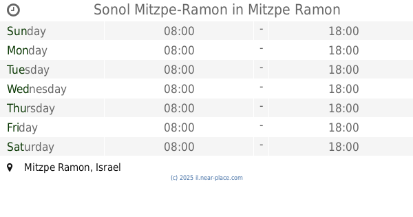
Sonol Mitzpe-Ramon
Mitzpe Ramon
Gas station
read more
19.255 km
Сонол
Mitzpe Ramon
Gas station
read more
19.255 km
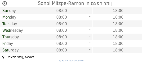
Sonol Mitzpe-Ramon
מצפה רמון
Gas station
read more
20.317 km
Delek Mitzpe Ramon
Mitzpe Ramon
Gas station
read more
20.317 km
Delek
Mitzpe Ramon
Gas station
read more
23.519 km
משאבים
צומת משאבי שדה, משאבי שדה
Gas station
read more
23.519 km
משאבים
Israel
Gas station
read more
23.519 km
Mash'abim
Israel
Gas station
read more
23.519 km
Delek Mash'abim
צומת משאבי שדה, משאבי שדה
Gas station
read more
23.52 km
דלק משאבי שדה
Israel
Gas station
read more
26.04 km
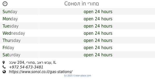
סונול
כביש 204, ירוחם
Gas station
read more
26.04 km
Сонол
כביש 204, ירוחם
Gas station
read more
35.07 km
Paz Ramat Hovav
רמת חובב, כביש ב"ש-משאבי שדה
Gas station
read more
45.356 km
פז עין חצבה
כביש 90, Hazeva
Gas station
read more
47.369 km
محطة وقود
ערערה בנגב
Gas station
read more
48.172 km
דור אלון - שגב שלום
כביש דימונה-באר שבע, שגב שלום שוקייב א סאלם
Gas station
read more
48.325 km
סדש עמק שרה
באר שבע
Gas station
read more
48.328 km
Ten Gas station תחנת דלק טן
באר שבע
Gas station
read more
48.494 km
פז עמק שרה
חוצות להב, צאלים, באר שבע
Gas station
read more
49.447 km
תחנת דלק יעד
Be'er Sheva
Gas station
read more
49.499 km
פז באר שבע מרכז
דרך חברון, באר שבע
Gas station
read more
49.499 km
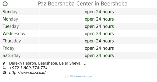
Paz Beersheba Center
Derekh Hebron, Be'er Sheva
Gas station
read more
49.543 km
Delek Delarom
Derekh Hebron 4, Be'er Sheva
Gas station
read more
📑
all categories
Accounting
Administrative area level 1
Administrative area level 2
Airport
Amusement park
Aquarium
Art gallery
Atm
Bakery
Bank
Bar
Beauty salon
Bicycle store
Book store
Bowling alley
Bus station
Cafe
Campground
Car dealer
Car rental
Car repair
Car wash
Casino
Cemetery
Church
City hall
Clothing store
Colloquial area
Convenience store
Country
Courthouse
Dentist
Department store
Doctor
Electrician
Electronics store
Embassy
Establishment
Finance
Fire station
Florist
Food
Funeral home
Furniture store
Gas station
General contractor
Grocery or supermarket
Gym
Hair care
Hardware store
Health
Hindu Temple
Home goods store
Hospital
Insurance agency
Intersection
Jewelry store
Laundry
Lawyer
Library
Light rail station
Liquor store
Local government office
Locality
Locksmith
Lodging
Meal delivery
Meal takeaway
Mosque
Movie rental
Movie theater
Moving company
Museum
Natural feature
Neighborhood
Night club
Painter
Park
Parking
Pet store
Pharmacy
Physiotherapist
Place of worship
Plumber
Point of interest
Police
Political
Post office
Premise
Real estate agency
Restaurant
Roofing contractor
Route
Rv park, camping
School
Shoe store
Shopping mall
Spa
Stadium
Storage
Store
Subpremise
Subway station
Supermarket
Synagogue
Taxi stand
Train station
Transit station
Travel agency
University
Veterinary care
Zoo
administrative area level 3
administrative area level 4
sublocality level 1
↑