Gas station nearby محطة وقود حجة
Israel
Gas station nearby محطة وقود حجة
محطة وقود حجة
Qalqilya
contacts phone
:
+972
Latitude:
32.2073162
, Longitude:
35.1260151
larger map & directions
read more
nearest Gas station
1.654 km
حجة محطة الخواجا
Qalqilya
Gas station
read more
3.035 km
סונול קדומים
קדומים
Gas station
read more
3.778 km
פז פנינת השומרון
יו"ש קרני שומרון, Karnei Shomron
Gas station
read more
3.778 km
פז פנינת השומרון
יו"ש קרני שומרון, קרני שומרון
Gas station
read more
7.299 km
محطة الكفريات للمحروقات
طولكرم كفر صور
Gas station
read more
11.564 km
סונול
Ari'el
Gas station
read more
11.564 km
Сонол
Ari'el
Gas station
read more
12.617 km
محطة مالك الحج ابراهيم للمحروقات
طولكرم, شارع فرعون
Gas station
read more
13.242 km
Parking Lot
Derech Efrata, Ari'el
Gas station
read more
13.349 km
B.A.L.
Tayibe
Gas station
read more
13.349 km
ב.א.ל
טייבה
Gas station
read more
13.534 km
Gas station - Al-Tamimi
الضفة الغربية نابلس شارع الحرية
Gas station
read more
13.592 km
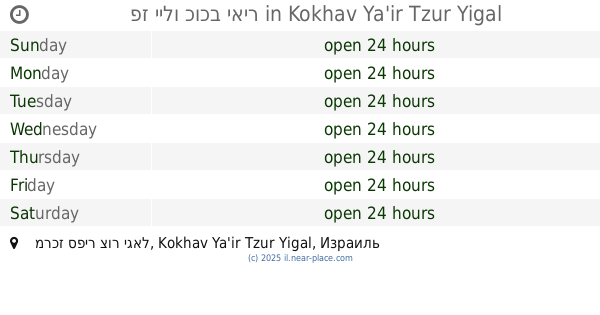
פז יילו כוכב יאיר
מרכז ספיר צור יגאל, Kokhav Ya'ir Tzur Yigal
Gas station
read more
13.592 km
פז יילו כוכב יאיר
מרכז ספיר צור יגאל, כוכב יאיר צור יגאל
Gas station
read more
13.833 km
Sh'arei Delek Tira
Tira
Gas station
read more
13.885 km
Tira-Nayedet
Tira
Gas station
read more
13.955 km
Golden gate Hasharon
כביש 444, טייבה
Gas station
read more
14.585 km
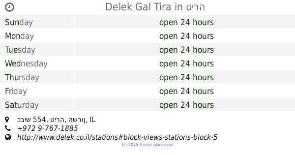
Delek Gal Tira
כביש 554, טירה
Gas station
read more
14.779 km
شركة حسونة للمحروقات
Boulevard de Paris, Casablanca
Gas station
read more
15.036 km
محطة القاروط للمحروقات
،طولكرم ،مركز المدينه
Gas station
read more
15.767 km
محطة ميجا لاند
شارع طولكرم, Haifa
Gas station
read more
16.497 km
פזגז קלנסווה תחנת תדלוק בגז
כביש 5614, קלנסווה
Gas station
read more
16.66 km
סונול קלנסואה
כתובת הגביש 6, קלנסווה
Gas station
read more
17.736 km
Gal ha-Shalom
Kafr Qasim
Gas station
read more
18.796 km
סונול קרן אור יהודה
החרושת 2, אור יהודה
Gas station
read more
📑
all categories
Accounting
Administrative area level 1
Administrative area level 2
Airport
Amusement park
Aquarium
Art gallery
Atm
Bakery
Bank
Bar
Beauty salon
Bicycle store
Book store
Bowling alley
Bus station
Cafe
Campground
Car dealer
Car rental
Car repair
Car wash
Casino
Cemetery
Church
City hall
Clothing store
Colloquial area
Convenience store
Country
Courthouse
Dentist
Department store
Doctor
Electrician
Electronics store
Embassy
Establishment
Finance
Fire station
Florist
Food
Funeral home
Furniture store
Gas station
General contractor
Grocery or supermarket
Gym
Hair care
Hardware store
Health
Hindu Temple
Home goods store
Hospital
Insurance agency
Intersection
Jewelry store
Laundry
Lawyer
Library
Light rail station
Liquor store
Local government office
Locality
Locksmith
Lodging
Meal delivery
Meal takeaway
Mosque
Movie rental
Movie theater
Moving company
Museum
Natural feature
Neighborhood
Night club
Painter
Park
Parking
Pet store
Pharmacy
Physiotherapist
Place of worship
Plumber
Point of interest
Police
Political
Post office
Premise
Real estate agency
Restaurant
Roofing contractor
Route
Rv park, camping
School
Shoe store
Shopping mall
Spa
Stadium
Storage
Store
Subpremise
Subway station
Supermarket
Synagogue
Taxi stand
Train station
Transit station
Travel agency
University
Veterinary care
Zoo
administrative area level 3
administrative area level 4
sublocality level 1
↑