Clothing store nearby Kalinka
Israel
Clothing store nearby Kalinka
Kalinka
19, Antibes Street, Eilat, Be'er Sheva, IL Израиль
contacts phone
:
+972
Latitude:
29.550615
, Longitude:
34.9609033
larger map & directions
read more
nearest Clothing store
14 m
אינטימה
קניון מלכת שבא, אילת
Clothing store
read more
20 m
Castro Kid's
אנטיב 19, אילת
Clothing store
read more
28 m
Intima
Antibes Street 19, Eilat
Clothing store
read more
34 m
Golf
Antibes Street 19, Eilat
Clothing store
read more
36 m
קסטרו הילטון מלכת שבא' אילת
מלכת שבא, פעמי השלום 19, אילת
Clothing store
read more
59 m
Diesel
HaMayim Street, Eilat
Clothing store
read more
62 m
Glick
Antibes Street 19, Eilat
Clothing store
read more
158 m
SunWay swimwear and sun protection clothing
Derech Pa'amei HaShalom, Eilat
Clothing store
read more
158 m
SunWay בגדי ים וביגוד להגנה מהשמש
דרך פעמי השלום, אילת
Clothing store
read more
279 m
דונה ויקטוריה
דרך פעמי השלום, אילת
Clothing store
read more
392 m
Afrodita
14, Derech Pa'amei HaShalom 12, Eilat
Clothing store
read more
477 m
ג'ק קובה
דרך פעמי השלום, אילת
Clothing store
read more
577 m
Timberland
קאמפן 1, אילת
Clothing store
read more
598 m
קסטרו אילת אייס מול
קאמפן 8, אילת
Clothing store
read more
619 m
אינטימה
קניון מול הים, אילת
Clothing store
read more
659 m
Timberland
הפלמ"ח 1, אילת
Clothing store
read more
691 m
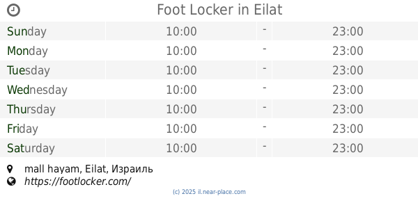
Foot Locker
mall hayam, Eilat
Clothing store
read more
698 m
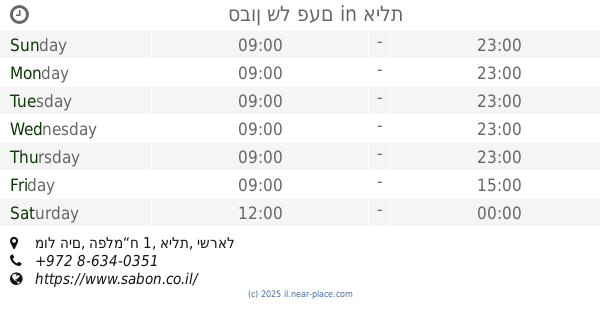
סבון של פעם
מול הים, הפלמ“ח 1, אילת
Clothing store
read more
719 m
Castro
Ha-Palmakh Street 1, Eilat
Clothing store
read more
870 m
רב קט אילת
מרכז חופית, גן בנימין 12, אילת
Clothing store
read more
1.066 km
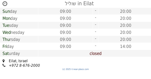
לילוש
Eilat
Clothing store
read more
1.085 km
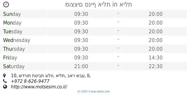
מוצצים סניף אילת
שדרות חטיבת גולני 10, אילת
Clothing store
read more
1.106 km
H&O
שדרות התמרים 7, אילת
Clothing store
read more
1.106 km
H&O
Sderot HaTmarim 7, Eilat
Clothing store
read more
1.366 km
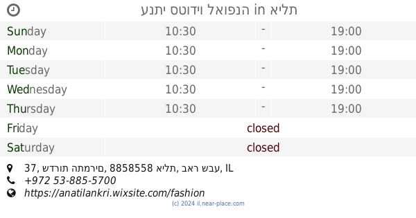
ענתי סטודיו לאופנה
שדרות התמרים 37, אילת
Clothing store
read more
📑
all categories
Accounting
Administrative area level 1
Administrative area level 2
Airport
Amusement park
Aquarium
Art gallery
Atm
Bakery
Bank
Bar
Beauty salon
Bicycle store
Book store
Bowling alley
Bus station
Cafe
Campground
Car dealer
Car rental
Car repair
Car wash
Casino
Cemetery
Church
City hall
Clothing store
Colloquial area
Convenience store
Country
Courthouse
Dentist
Department store
Doctor
Electrician
Electronics store
Embassy
Establishment
Finance
Fire station
Florist
Food
Funeral home
Furniture store
Gas station
General contractor
Grocery or supermarket
Gym
Hair care
Hardware store
Health
Hindu Temple
Home goods store
Hospital
Insurance agency
Intersection
Jewelry store
Laundry
Lawyer
Library
Light rail station
Liquor store
Local government office
Locality
Locksmith
Lodging
Meal delivery
Meal takeaway
Mosque
Movie rental
Movie theater
Moving company
Museum
Natural feature
Neighborhood
Night club
Painter
Park
Parking
Pet store
Pharmacy
Physiotherapist
Place of worship
Plumber
Point of interest
Police
Political
Post office
Premise
Real estate agency
Restaurant
Roofing contractor
Route
Rv park, camping
School
Shoe store
Shopping mall
Spa
Stadium
Storage
Store
Subpremise
Subway station
Supermarket
Synagogue
Taxi stand
Train station
Transit station
Travel agency
University
Veterinary care
Zoo
administrative area level 3
administrative area level 4
sublocality level 1
↑