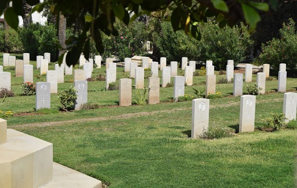
Cemetery nearby בית קברות טמפלרי
Israel
Cemetery nearby בית קברות טמפלרי
בית קברות טמפלרי
142-148, Jaffa Road, Haifa, Haifa, IL Израиль
contacts phone
:
+972
Latitude:
32.8276032
, Longitude:
34.9865523
larger map & directions
read more
nearest Cemetery
23 m
Кладбище Хайфа Индиан
Jaffa Road, Haifa
Cemetery
read more
23 m
Haifa Indian Cemetery
Jaffa Road, Haifa
Cemetery
read more
58 m
World War I British Military Cemetery
Haifa
Cemetery
read more
58 m
בית קברות נוצרי
חיפה
Cemetery
read more
72 m
The Templers Cemetery in Haifa
Jaffa Road 150, Haifa
Cemetery
read more
333 m
Haifa Old Cemetery
Haifa
Cemetery
read more
333 m
בית קברות הישן בחיפה
חיפה
Cemetery
read more
342 m
Old Haifa Cemetery
Haifa
Cemetery
read more
342 m
Old Haifa Cemetery
Хайфа
Cemetery
read more
342 m
בית קברות חיפה הישן
חיפה
Cemetery
read more
388 m
קבר רבי אבדימי דמן חיפה
Jaffa Road 118-122, Haifa
Cemetery
read more
1.136 km
Greek Catholic Cemetery
Хайфа
Cemetery
read more
1.411 km
בית קברות בהאי
Bahá’í Cemetery, Derech Allenby 198-210, חיפה
Cemetery
read more
3.507 km
Бабушка Бэлла
Haifa
Cemetery
read more
3.511 km
Кладбище Хайфа Милитари
Haifa
Cemetery
read more
3.511 km
Haifa Military Cemetery
Haifa
Cemetery
read more
3.528 km
בית העלמין שדה יהושע
חיפה
Cemetery
read more
3.538 km
בית העלמין הצבאי חיפה
המלך שאול, חיפה
Cemetery
read more
3.718 km
בית קברות מרוניטי
חיפה
Cemetery
read more
3.718 km
Maronite Cemetery
Haifa
Cemetery
read more
3.798 km
Cemetery Old, Hahagana St.
חיפה
Cemetery
read more
3.798 km
Cemetery Old, Hahagana St.
Haifa
Cemetery
read more
3.802 km
בית העלמין הישן - חוף הכרמל
חיפה
Cemetery
read more
3.802 km
בית העלמין הישן - חוף הכרמל
Haifa
Cemetery
read more
3.803 km
Hof Ha-Karmel Cemetery
שדרות ההגנה, חיפה
Cemetery
read more
📑
all categories
Accounting
Administrative area level 1
Administrative area level 2
Airport
Amusement park
Aquarium
Art gallery
Atm
Bakery
Bank
Bar
Beauty salon
Bicycle store
Book store
Bowling alley
Bus station
Cafe
Campground
Car dealer
Car rental
Car repair
Car wash
Casino
Cemetery
Church
City hall
Clothing store
Colloquial area
Convenience store
Country
Courthouse
Dentist
Department store
Doctor
Electrician
Electronics store
Embassy
Establishment
Finance
Fire station
Florist
Food
Funeral home
Furniture store
Gas station
General contractor
Grocery or supermarket
Gym
Hair care
Hardware store
Health
Hindu Temple
Home goods store
Hospital
Insurance agency
Intersection
Jewelry store
Laundry
Lawyer
Library
Light rail station
Liquor store
Local government office
Locality
Locksmith
Lodging
Meal delivery
Meal takeaway
Mosque
Movie rental
Movie theater
Moving company
Museum
Natural feature
Neighborhood
Night club
Painter
Park
Parking
Pet store
Pharmacy
Physiotherapist
Place of worship
Plumber
Point of interest
Police
Political
Post office
Premise
Real estate agency
Restaurant
Roofing contractor
Route
Rv park, camping
School
Shoe store
Shopping mall
Spa
Stadium
Storage
Store
Subpremise
Subway station
Supermarket
Synagogue
Taxi stand
Train station
Transit station
Travel agency
University
Veterinary care
Zoo
administrative area level 3
administrative area level 4
sublocality level 1
↑