Cafe nearby Coffee Station
Israel
Cafe nearby Coffee Station
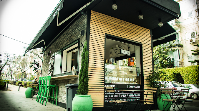
Coffee Station
Tel Aviv-Yafo, Israel
contacts phone
:
+972
Latitude:
32.1009367
, Longitude:
34.7746903
larger map & directions
read more
nearest Cafe
155 m
Cafe Greg
האנגר 20, נמל תל אביב, תל אביב יפו
Cafe
read more
155 m
Кафе Грег
האנגר 20, נמל תל אביב, תל אביב יפו
Cafe
read more
155 m
קפה גרג נמל תל אביב
האנגר 20, נמל תל אביב, תל אביב יפו
Cafe
read more
220 m
גלידה איטלקית Bellamia
Tel Aviv-Yafo
Cafe
read more
254 m
Tel Aviv Port Market
Nemal Tel Aviv Street 12, Tel Aviv-Yafo
Cafe
read more
262 m
Hkyosk
18 HANGAR, IN DIADA, , Tel Aviv
Cafe
read more
474 m
Ландвер
נמל תל אביב, כ"ג יורדי הסירה 2, תל אביב יפו
Cafe
read more
513 m
Кофестейшн
Nemal Tel Aviv Street, Tel Aviv-Yafo
Cafe
read more
513 m
Coffee Station
Nemal Tel Aviv Street, Tel Aviv-Yafo
Cafe
Food
Point of interest
Establishment
read more
514 m
Cafe Cafe
Nemal Tel Aviv Street 4, Tel Aviv-Yafo
Cafe
read more
515 m
Кафе Кафе
Kaf Gimel Yordei ha-Sira Street 1, Tel Aviv-Yafo
Cafe
read more
717 m
Jeremiah
Dizengoff Street 306, Tel Aviv-Yafo
Cafe
read more
717 m
Джереми
Dizengoff Street 306, Tel Aviv-Yafo
Cafe
read more
717 m
ג'רמייה
דיזנגוף 306, תל אביב יפו
Cafe
read more
930 m
Fortunee פורטונה
דיזנגוף 280, תל אביב יפו
Cafe
read more
930 m
Fortunee פורטונה
Dizengoff Street 280, Tel Aviv-Yafo
Cafe
read more
936 m
Caffe d'vita
Dizengoff Street 280, Tel Aviv-Yafo
Cafe
read more
1.019 km
Nordau
שדרות נורדאו 51, תל אביב יפו
Cafe
read more
1.019 km
Nordau
Sderot Nordau 51, Tel Aviv-Yafo
Cafe
read more
1.113 km
Horkanus Cafe
Shlomo Ibn Gabirol Street 187, Tel Aviv-Yafo
Cafe
read more
1.113 km
קפה הורקנוס
שלמה אבן גבירול 187, תל אביב יפו
Cafe
read more
1.26 km
Cafe Zorik
Yehuda HaMaccabi Street 4 א, Tel Aviv-Yafo
Cafe
read more
1.268 km
Cafe Zorik
Yehuda HaMakkabbi Street 4א, Tel Aviv-Yafo
Cafe
Food
Point of interest
Establishment
read more
1.28 km
ג'ונו
דה האז 1, תל אביב יפו
Cafe
read more
1.28 km
Juno
De Haas Street 1, Tel Aviv-Yafo
Cafe
read more
📑
all categories
Accounting
Administrative area level 1
Administrative area level 2
Airport
Amusement park
Aquarium
Art gallery
Atm
Bakery
Bank
Bar
Beauty salon
Bicycle store
Book store
Bowling alley
Bus station
Cafe
Campground
Car dealer
Car rental
Car repair
Car wash
Casino
Cemetery
Church
City hall
Clothing store
Colloquial area
Convenience store
Country
Courthouse
Dentist
Department store
Doctor
Electrician
Electronics store
Embassy
Establishment
Finance
Fire station
Florist
Food
Funeral home
Furniture store
Gas station
General contractor
Grocery or supermarket
Gym
Hair care
Hardware store
Health
Hindu Temple
Home goods store
Hospital
Insurance agency
Intersection
Jewelry store
Laundry
Lawyer
Library
Light rail station
Liquor store
Local government office
Locality
Locksmith
Lodging
Meal delivery
Meal takeaway
Mosque
Movie rental
Movie theater
Moving company
Museum
Natural feature
Neighborhood
Night club
Painter
Park
Parking
Pet store
Pharmacy
Physiotherapist
Place of worship
Plumber
Point of interest
Police
Political
Post office
Premise
Real estate agency
Restaurant
Roofing contractor
Route
Rv park, camping
School
Shoe store
Shopping mall
Spa
Stadium
Storage
Store
Subpremise
Subway station
Supermarket
Synagogue
Taxi stand
Train station
Transit station
Travel agency
University
Veterinary care
Zoo
administrative area level 3
administrative area level 4
sublocality level 1
↑