Cafe nearby אבו ראשד אקספרס
Israel
Cafe nearby אבו ראשד אקספרס
אבו ראשד אקספרס
Khalat Zabda/Gas Station, Kafr Qara, Israel
contacts phone
:
+972 4-664-8766
Latitude:
32.499964
, Longitude:
35.06134
larger map & directions
read more
nearest Cafe
197 m
קונדיטוריה בני אבו עלי
כפר קרע
Cafe
read more
197 m
קונדיטוריה בני אבו עלי
Kafr Qara
Cafe
read more
336 m
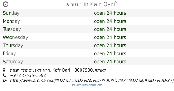
ארומה
תחנת דלק פז, ואדי ערה, Kafr Qari`
Cafe
read more
336 m
Арома
תחנת דלק פז, ואדי ערה, Kafr Qari`
Cafe
read more
336 m
ארומה Aroma
תחנת דלק פז, ואדי ערה, Kafr Qari`
Cafe
read more
348 m
Quds Bakery
Kafr Qara
Cafe
read more
424 m
Rihan Coffee
Kafr Qara
Cafe
read more
527 m
La VITA
Kafr Qara
Cafe
read more
529 m
שישה קפה
Kafr Qara
Cafe
read more
529 m
שישה קפה
כפר קרע
Cafe
read more
529 m
Mr.Shisha
Kafr Qara
Cafe
Food
Point of interest
Establishment
read more
599 m
קונדיטוריה אלנאטור
Kafr Qara
Cafe
read more
671 m
ברייק קפה
Kafr Qara
Cafe
read more
684 m
Balcone Coffee 2022
Kafr Qara
Cafe
Food
Point of interest
Store
Establishment
read more
685 m
CafeCap
הארון אלרשיד, כפר קרע
Cafe
read more
720 m
Cafe Ali
Kafr Qara
Cafe
Food
Point of interest
Establishment
read more
722 m
עלי קפה
עומר בן אלחטאב, Kafr Qari'a
Cafe
Food
Point of interest
Establishment
read more
724 m
Confectionery Alcrm
Kafr Qara
Cafe
read more
737 m
Balkan pastry
Kafr Qara
Cafe
Food
Point of interest
Establishment
read more
740 m
מאפה הבלקאן
כפר קרע
Cafe
read more
809 m
טאבון אבו ראשד
בנין בנק הפועלים קומה 1 כפר קרע, Caveirac
Cafe
read more
811 m
Coffee fruit
Kafr Qara
Cafe
read more
811 m
פירות קפה
כפר קרע
Cafe
read more
839 m
טאבון אבו ראשד
Haled Ben Al-Walid Street, Kafr Qara
Cafe
Bakery
Restaurant
Food
Point of interest
Store
Establishment
read more
907 m
קפה בכפר
Israel
Cafe
Food
Point of interest
Establishment
read more
📑
all categories
Accounting
Administrative area level 1
Administrative area level 2
Airport
Amusement park
Aquarium
Art gallery
Atm
Bakery
Bank
Bar
Beauty salon
Bicycle store
Book store
Bowling alley
Bus station
Cafe
Campground
Car dealer
Car rental
Car repair
Car wash
Casino
Cemetery
Church
City hall
Clothing store
Colloquial area
Convenience store
Country
Courthouse
Dentist
Department store
Doctor
Electrician
Electronics store
Embassy
Establishment
Finance
Fire station
Florist
Food
Funeral home
Furniture store
Gas station
General contractor
Grocery or supermarket
Gym
Hair care
Hardware store
Health
Hindu Temple
Home goods store
Hospital
Insurance agency
Intersection
Jewelry store
Laundry
Lawyer
Library
Light rail station
Liquor store
Local government office
Locality
Locksmith
Lodging
Meal delivery
Meal takeaway
Mosque
Movie rental
Movie theater
Moving company
Museum
Natural feature
Neighborhood
Night club
Painter
Park
Parking
Pet store
Pharmacy
Physiotherapist
Place of worship
Plumber
Point of interest
Police
Political
Post office
Premise
Real estate agency
Restaurant
Roofing contractor
Route
Rv park, camping
School
Shoe store
Shopping mall
Spa
Stadium
Storage
Store
Subpremise
Subway station
Supermarket
Synagogue
Taxi stand
Train station
Transit station
Travel agency
University
Veterinary care
Zoo
administrative area level 3
administrative area level 4
sublocality level 1
↑