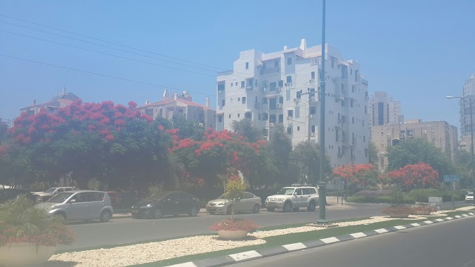
Bus station nearby Yosef Sapir/Shim'on Yisraeli
Coronavirus disease (COVID-19) Situation
confirmed cases
4841772
deaths
12707
Israel
Bus station nearby Yosef Sapir/Shim'on Yisraeli
Yosef Sapir/Shim'on Yisraeli
Rishon LeZion, Israel
contacts phone
:
+972
Latitude:
31.991661
, Longitude:
34.7504967
larger map & directions
read more
nearest Bus station
130 m
Rechavam Ze'evi Boulevard/Yosef Sapir
Israel
Bus station
read more
175 m
Minister Haim Shapira/Yosef Sapir
Israel
Bus station
read more
242 m
רחבעם זאבי/שד.מרילנד
ראשון לציון
Bus station
read more
242 m
Rechavam Ze'evi/Meriland Blvd
Rishon LeTsiyon
Bus station
read more
361 m
שד.מרילנד/שד.רחבעם זאבי
Israel
Bus station
read more
361 m
Meriland Blvd/Rechavam Ze'evi Blvd
Israel
Bus station
read more
388 m
Moshe Sharett/Glosca
Rishon LeTsiyon
Bus station
read more
493 m
Moshe Sharett/Kanner
Rishon LeTsiyon
Bus station
read more
499 m
השר חיים שפירא/הרב שלום ג'רופי
Israel
Bus station
read more
524 m
בי''ס לכבאות/רחבעם זאבי
Israel
Bus station
read more
550 m
Fire Fighting School/Rechavam Ze'evi
Israel
Bus station
read more
610 m
משה שרת/יעקב קנר
Israel
Bus station
read more
788 m
ת. רכבת משה דיין
Israel
Bus station
read more
818 m
Moshe Dayan Railway Station
Rishon LeTsiyon
Bus station
read more
819 m
כורש/זלמן שזר
Israel
Bus station
read more
833 m
כורש/רחבעם זאבי
Israel
Bus station
read more
833 m
Koresh/Rechavam Ze'evi
Israel
Bus station
read more
847 m
רחבעם זאבי שדרות / סיירוס
Rishon LeTsiyon
Bus station
read more
847 m
שדרות רחבעם זאבי/כורש
ראשון לציון
Bus station
read more
876 m
Koresh/Argaman
Israel
Bus station
read more
896 m
Moshe Dayan Railway Station
Israel
Bus station
read more
993 m
זלמן שז''ר/חיל הרגלים
Israel
Bus station
read more
1.019 km
Menachem Begin Road/Koresh
Israel
Bus station
read more
1.024 km
זלמן שז''ר/חיל הנדסה
Israel
Bus station
read more
1.27 km
HaHalutsim/Nov
Israel
Bus station
read more
📑
all categories
Accounting
Administrative area level 1
Administrative area level 2
Airport
Amusement park
Aquarium
Art gallery
Atm
Bakery
Bank
Bar
Beauty salon
Bicycle store
Book store
Bowling alley
Bus station
Cafe
Campground
Car dealer
Car rental
Car repair
Car wash
Casino
Cemetery
Church
City hall
Clothing store
Colloquial area
Convenience store
Country
Courthouse
Dentist
Department store
Doctor
Electrician
Electronics store
Embassy
Establishment
Finance
Fire station
Florist
Food
Funeral home
Furniture store
Gas station
General contractor
Grocery or supermarket
Gym
Hair care
Hardware store
Health
Hindu Temple
Home goods store
Hospital
Insurance agency
Intersection
Jewelry store
Laundry
Lawyer
Library
Light rail station
Liquor store
Local government office
Locality
Locksmith
Lodging
Meal delivery
Meal takeaway
Mosque
Movie rental
Movie theater
Moving company
Museum
Natural feature
Neighborhood
Night club
Painter
Park
Parking
Pet store
Pharmacy
Physiotherapist
Place of worship
Plumber
Point of interest
Police
Political
Post office
Premise
Real estate agency
Restaurant
Roofing contractor
Route
Rv park, camping
School
Shoe store
Shopping mall
Spa
Stadium
Storage
Store
Subpremise
Subway station
Supermarket
Synagogue
Taxi stand
Train station
Transit station
Travel agency
University
Veterinary care
Zoo
administrative area level 3
administrative area level 4
sublocality level 1
↑