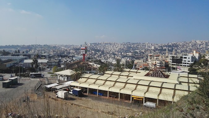
Bus station nearby Nazareth Central Station
Coronavirus disease (COVID-19) Situation
confirmed cases
4841772
deaths
12707
Israel
Bus station nearby Nazareth Central Station
Nazareth Central Station
Назарет, Израиль
contacts phone
:
+972
Latitude:
32.701639
, Longitude:
35.2989
larger map & directions
read more
nearest Bus station
56 m
Paulus Hashishi/6177
Israel
Bus station
read more
164 m
בי''ס דיר סנטה/פאולוס השישי
Israel
Bus station
read more
449 m
Al Wadi Al Jawani/5051
Israel
Bus station
read more
503 m
Al Wadi Al Jawani/5052
Israel
Bus station
read more
620 m
5105/5112
Israel
Bus station
read more
625 m
הגליל / דרך א סלאם
Israel
Bus station
read more
643 m
BIG Commercial Center
Israel
Bus station
read more
648 m
Soccer Stadium
Israel
Bus station
read more
698 m
5005/5007
Israel
Bus station
read more
701 m
Al Wadi Al Jawani/5070
Israel
Bus station
read more
701 m
5070/אל ואדי אל ג'וואני
Israel
Bus station
read more
773 m
Paulus Hashishi/Al Wadi Al Jawani
Israel
Bus station
read more
846 m
National Insurance/Nazareth Bypass
Israel
Bus station
read more
859 m
Paulus Hashishi/5083
Israel
Bus station
read more
875 m
HaGalil/Nimsawi Quarter
Israel
Bus station
read more
896 m
בית ספר סליזיאן
Israel
Bus station
read more
994 m
Al-Shahid Ali Square
Israel
Bus station
read more
998 m
Um Qubai/Oma al-Arab
Israel
Bus station
read more
1.007 km
Saint-Joseph School
Israel
Bus station
read more
1.007 km
אל כורום/5026
Israel
Bus station
read more
1.023 km
3024/חלת אלדיר
Israel
Bus station
read more
1.066 km
פאולוס השישי/5089
Israel
Bus station
read more
1.123 km
Nazareth Illit Market
Nazareth Iliit
Bus station
read more
1.16 km
Savyon/Tsiporen
Israel
Bus station
read more
1.207 km
כביש נצרת חיפה
Israel
Bus station
read more
📑
all categories
Accounting
Administrative area level 1
Administrative area level 2
Airport
Amusement park
Aquarium
Art gallery
Atm
Bakery
Bank
Bar
Beauty salon
Bicycle store
Book store
Bowling alley
Bus station
Cafe
Campground
Car dealer
Car rental
Car repair
Car wash
Casino
Cemetery
Church
City hall
Clothing store
Colloquial area
Convenience store
Country
Courthouse
Dentist
Department store
Doctor
Electrician
Electronics store
Embassy
Establishment
Finance
Fire station
Florist
Food
Funeral home
Furniture store
Gas station
General contractor
Grocery or supermarket
Gym
Hair care
Hardware store
Health
Hindu Temple
Home goods store
Hospital
Insurance agency
Intersection
Jewelry store
Laundry
Lawyer
Library
Light rail station
Liquor store
Local government office
Locality
Locksmith
Lodging
Meal delivery
Meal takeaway
Mosque
Movie rental
Movie theater
Moving company
Museum
Natural feature
Neighborhood
Night club
Painter
Park
Parking
Pet store
Pharmacy
Physiotherapist
Place of worship
Plumber
Point of interest
Police
Political
Post office
Premise
Real estate agency
Restaurant
Roofing contractor
Route
Rv park, camping
School
Shoe store
Shopping mall
Spa
Stadium
Storage
Store
Subpremise
Subway station
Supermarket
Synagogue
Taxi stand
Train station
Transit station
Travel agency
University
Veterinary care
Zoo
administrative area level 3
administrative area level 4
sublocality level 1
↑