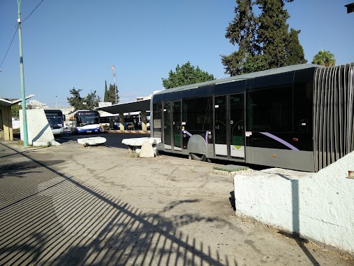
Bus station nearby Mordehai Ben Dror/Ravnitski
Israel
Bus station nearby Mordehai Ben Dror/Ravnitski
Mordehai Ben Dror/Ravnitski
Петах-Тиква, Израиль
contacts phone
:
+972
Latitude:
32.100726
, Longitude:
34.89129
larger map & directions
read more
nearest Bus station
96 m
Ravnitski/Haim Soutine
Israel
Bus station
read more
282 m
Mordehai Ben Dror/Dorani Shalom
Israel
Bus station
read more
408 m
בי''ס נאות מרגלית לבנים
Israel
Bus station
read more
470 m
Ben Zion Galis/HaRekhev
Israel
Bus station
read more
478 m
גליס/הרב פינטו מסעוד אשר
Israel
Bus station
read more
556 m
HaMaccabim/HaShofet Brandeis
Israel
Bus station
read more
588 m
Ben Zion Galis/HaBursekai
Israel
Bus station
read more
630 m
Dani Community Center/Stampfer
Israel
Bus station
read more
651 m
גיסין/המכבים
Israel
Bus station
read more
660 m
Stampfer/HaMaccabim
Israel
Bus station
read more
666 m
ת. מרכזית פ''ת/אורלוב
Israel
Bus station
read more
669 m
Ben Zion Galis/Tsvi Bergman
Israel
Bus station
read more
669 m
בן ציון גליס/צבי ברגמן
Israel
Bus station
read more
678 m
Segula Junction
Israel
Bus station
read more
689 m
HaMaccabim/Shlonsky
Israel
Bus station
read more
696 m
הרב הרצוג/שמואל חיים לנדוי
Israel
Bus station
read more
736 m
Stampfer/Abarbanel
Israel
Bus station
read more
788 m
Petah Tikva Central Bus Station
Bar Kochva Street 56-58, Petah Tikva
Bus station
read more
855 m
מבצע חורב/מבצע יפתח
Israel
Bus station
read more
861 m
Gisin/Pinsker
Israel
Bus station
read more
861 m
גיסין/פינסקר
Israel
Bus station
read more
934 m
יהושע שטמפפר/רמב''ם
Israel
Bus station
read more
935 m
בר כוכבא/זאב אורלוב
Israel
Bus station
read more
941 m
אברבנאל/זרח ברנט
Israel
Bus station
read more
1.121 km
Bar Kokhba/Frumkin
Israel
Bus station
read more
📑
all categories
Accounting
Administrative area level 1
Administrative area level 2
Airport
Amusement park
Aquarium
Art gallery
Atm
Bakery
Bank
Bar
Beauty salon
Bicycle store
Book store
Bowling alley
Bus station
Cafe
Campground
Car dealer
Car rental
Car repair
Car wash
Casino
Cemetery
Church
City hall
Clothing store
Colloquial area
Convenience store
Country
Courthouse
Dentist
Department store
Doctor
Electrician
Electronics store
Embassy
Establishment
Finance
Fire station
Florist
Food
Funeral home
Furniture store
Gas station
General contractor
Grocery or supermarket
Gym
Hair care
Hardware store
Health
Hindu Temple
Home goods store
Hospital
Insurance agency
Intersection
Jewelry store
Laundry
Lawyer
Library
Light rail station
Liquor store
Local government office
Locality
Locksmith
Lodging
Meal delivery
Meal takeaway
Mosque
Movie rental
Movie theater
Moving company
Museum
Natural feature
Neighborhood
Night club
Painter
Park
Parking
Pet store
Pharmacy
Physiotherapist
Place of worship
Plumber
Point of interest
Police
Political
Post office
Premise
Real estate agency
Restaurant
Roofing contractor
Route
Rv park, camping
School
Shoe store
Shopping mall
Spa
Stadium
Storage
Store
Subpremise
Subway station
Supermarket
Synagogue
Taxi stand
Train station
Transit station
Travel agency
University
Veterinary care
Zoo
administrative area level 3
administrative area level 4
sublocality level 1
↑