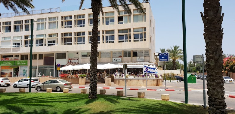
Bus station nearby Medical Center/Ramat Yam
Israel
Bus station nearby Medical Center/Ramat Yam
Medical Center/Ramat Yam
Герцлия, Израиль
contacts phone
:
+972
Latitude:
32.177795
, Longitude:
34.802879
larger map & directions
read more
nearest Bus station
116 m
מלון השרון
Israel
Bus station
read more
116 m
HaSharon Hotel
Israel
Bus station
read more
185 m
HaSharon Hotel
Herzliya
Bus station
read more
185 m
מלון-השרון
הרצליה
Bus station
read more
244 m
ככר דה שליט
Israel
Bus station
read more
373 m
Commercial Center/Wingate
Israel
Bus station
read more
402 m
Wingate/HaTish'im VeShalosh Blvd
Israel
Bus station
read more
479 m
Zevulun Beach
Israel
Bus station
read more
592 m
וינגייט/קרן היסוד
Israel
Bus station
read more
628 m
Wingate/Keren Yesod
Israel
Bus station
read more
628 m
וינגייט/קרן יסוד
Israel
Bus station
read more
632 m
Basel/HaNassi
Israel
Bus station
read more
662 m
רמת ים/הגבורה
Israel
Bus station
read more
670 m
HaNassi/Nili
Israel
Bus station
read more
707 m
וינגייט/ברוך קמין
Israel
Bus station
read more
726 m
HaNassi/Yoni Netanyahu
Israel
Bus station
read more
800 m
Keren HaYesod/HaKidma
Israel
Bus station
read more
902 m
HaNassi/Keren HaYesod
Israel
Bus station
read more
912 m
הנשיא/קדושי השואה
Israel
Bus station
read more
912 m
HaNassi/Kdoshe HaSho'a
Israel
Bus station
read more
1.01 km
מלון אכדיה
Israel
Bus station
read more
1.042 km
הליבנה/הנשיא
Israel
Bus station
read more
1.042 km
HaLivne/HaNassi
Israel
Bus station
read more
1.077 km
גולדה מאיר/הברוש
Israel
Bus station
read more
1.077 km
Golda Meir/HaBrosh
Israel
Bus station
read more
📑
all categories
Accounting
Administrative area level 1
Administrative area level 2
Airport
Amusement park
Aquarium
Art gallery
Atm
Bakery
Bank
Bar
Beauty salon
Bicycle store
Book store
Bowling alley
Bus station
Cafe
Campground
Car dealer
Car rental
Car repair
Car wash
Casino
Cemetery
Church
City hall
Clothing store
Colloquial area
Convenience store
Country
Courthouse
Dentist
Department store
Doctor
Electrician
Electronics store
Embassy
Establishment
Finance
Fire station
Florist
Food
Funeral home
Furniture store
Gas station
General contractor
Grocery or supermarket
Gym
Hair care
Hardware store
Health
Hindu Temple
Home goods store
Hospital
Insurance agency
Intersection
Jewelry store
Laundry
Lawyer
Library
Light rail station
Liquor store
Local government office
Locality
Locksmith
Lodging
Meal delivery
Meal takeaway
Mosque
Movie rental
Movie theater
Moving company
Museum
Natural feature
Neighborhood
Night club
Painter
Park
Parking
Pet store
Pharmacy
Physiotherapist
Place of worship
Plumber
Point of interest
Police
Political
Post office
Premise
Real estate agency
Restaurant
Roofing contractor
Route
Rv park, camping
School
Shoe store
Shopping mall
Spa
Stadium
Storage
Store
Subpremise
Subway station
Supermarket
Synagogue
Taxi stand
Train station
Transit station
Travel agency
University
Veterinary care
Zoo
administrative area level 3
administrative area level 4
sublocality level 1
↑