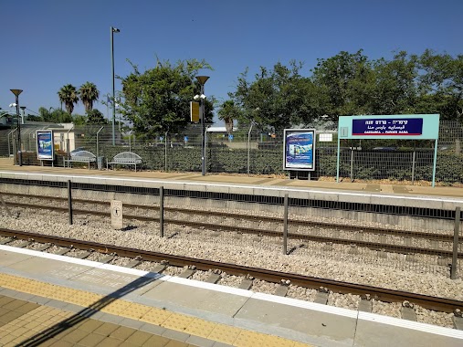
Bus station nearby Industrial Park
Coronavirus disease (COVID-19) Situation
confirmed cases
4841772
deaths
12707
Israel
Bus station nearby Industrial Park
Industrial Park
Кесария, Израиль
contacts phone
:
+972
Latitude:
32.484126
, Longitude:
34.949922
larger map & directions
read more
nearest Bus station
23 m
Granit/Tarshish Industrial Park
Israel
Bus station
read more
268 m
Halamish/Tarshish Industrial Park
Israel
Bus station
read more
389 m
Railway Station/Pardes Hana Karkur
Israel
Bus station
read more
389 m
ת. רכבת קיסריה-פרדס חנה
Israel
Bus station
read more
434 m
חלמיש/651
Israel
Bus station
read more
590 m
Halamish/651
Israel
Bus station
read more
776 m
המסילה/מלאכי
Israel
Bus station
read more
776 m
HaMesila/Mal'akhi
Israel
Bus station
read more
823 m
HaShita/651
Israel
Bus station
read more
832 m
HaMessila/Ge'ula
Pardes Hanna-Karkur
Bus station
read more
832 m
המסילה/גאולה
פרדס חנה כרכור
Bus station
read more
837 m
HaMessila/Ge'ula
Israel
Bus station
read more
926 m
יחזקאל/מלאכי
Israel
Bus station
read more
926 m
Yehezkel/Malakhi
Israel
Bus station
read more
982 m
651/השיטה
Israel
Bus station
read more
999 m
אורנים/אדנים
Israel
Bus station
read more
999 m
Oranim/Adanim
Israel
Bus station
read more
1.021 km
מרכז קליטה/המסילה
Israel
Bus station
read more
1.037 km
651/אילת
Israel
Bus station
read more
1.038 km
הגאון/מלאכי
Israel
Bus station
read more
1.063 km
Malakhi/Ge'ula
Israel
Bus station
read more
1.212 km
Hagay/Hashmona'im
Israel
Bus station
read more
1.251 km
Hashmona'im/Hagay
Israel
Bus station
read more
2.008 km
Derekh Lamerhav/Tel Tsvi
Israel
Bus station
read more
2.441 km
דרור/הדרים
Israel
Bus station
read more
📑
all categories
Accounting
Administrative area level 1
Administrative area level 2
Airport
Amusement park
Aquarium
Art gallery
Atm
Bakery
Bank
Bar
Beauty salon
Bicycle store
Book store
Bowling alley
Bus station
Cafe
Campground
Car dealer
Car rental
Car repair
Car wash
Casino
Cemetery
Church
City hall
Clothing store
Colloquial area
Convenience store
Country
Courthouse
Dentist
Department store
Doctor
Electrician
Electronics store
Embassy
Establishment
Finance
Fire station
Florist
Food
Funeral home
Furniture store
Gas station
General contractor
Grocery or supermarket
Gym
Hair care
Hardware store
Health
Hindu Temple
Home goods store
Hospital
Insurance agency
Intersection
Jewelry store
Laundry
Lawyer
Library
Light rail station
Liquor store
Local government office
Locality
Locksmith
Lodging
Meal delivery
Meal takeaway
Mosque
Movie rental
Movie theater
Moving company
Museum
Natural feature
Neighborhood
Night club
Painter
Park
Parking
Pet store
Pharmacy
Physiotherapist
Place of worship
Plumber
Point of interest
Police
Political
Post office
Premise
Real estate agency
Restaurant
Roofing contractor
Route
Rv park, camping
School
Shoe store
Shopping mall
Spa
Stadium
Storage
Store
Subpremise
Subway station
Supermarket
Synagogue
Taxi stand
Train station
Transit station
Travel agency
University
Veterinary care
Zoo
administrative area level 3
administrative area level 4
sublocality level 1
↑