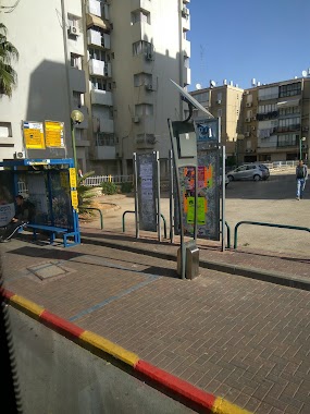
Bus station nearby החרושת/מעלה המגדל
Israel
Bus station nearby החרושת/מעלה המגדל
החרושת/מעלה המגדל
אור יהודה, ישראל
contacts phone
:
+972
Latitude:
32.021346
, Longitude:
34.863743
larger map & directions
read more
nearest Bus station
Haharoshet/Ma'ale HaMigdal
Israel
Bus station
read more
88 m
החרושת - מסוף אור יהודה
Israel
Bus station
read more
113 m
Or Yehuda Terminal
Israel
Bus station
read more
311 m
יהדות קנדה/החרושת
Israel
Bus station
read more
381 m
יהדות קנדה/העבודה
Israel
Bus station
read more
398 m
חטיבת אלכסנדרוני / ההסתדרות
אור יהודה
Bus station
read more
581 m
Yahadut Canada/Ha'Atsma'ut
Israel
Bus station
read more
596 m
יהדות קנדה / אסירי ציון
Israel
Bus station
read more
596 m
Yahadut Canada/Assire Zion
Israel
Bus station
read more
611 m
Ha'Atsma'ut Road/HaHistadrut
Israel
Bus station
read more
611 m
דרך העצמאות/ההסתדרות
Israel
Bus station
read more
683 m
Ha'Atsma'ut/Yerushalayim
Israel
Bus station
read more
683 m
העצמאות/ירושלים
Israel
Bus station
read more
686 m
David Elazar/HaShita
Israel
Bus station
read more
764 m
Yosef Hayim/Yitshak Rabin Boulevard
Israel
Bus station
read more
765 m
דוד אלעזר/הבנים
Israel
Bus station
read more
765 m
David Elazar/HaBanim
Israel
Bus station
read more
775 m
צפריר - שכ' נווה רבין
Israel
Bus station
read more
799 m
City Hall/Eliyahu Sa'adon
Israel
Bus station
read more
834 m
Atsma'ut/HaHatsav
Israel
Bus station
read more
944 m
שדרות אליהו סעדון/סקלאר לו
Israel
Bus station
read more
944 m
Eliyahu Sa'adon Boulevard/Sklare Loo
Israel
Bus station
read more
1.002 km
Ha'Atsma'ut/Hakalanit
Israel
Bus station
read more
1.016 km
בן פורת / הל''ה
Israel
Bus station
read more
1.043 km
ניצן/שדרות צפריר
Israel
Bus station
read more
📑
all categories
Accounting
Administrative area level 1
Administrative area level 2
Airport
Amusement park
Aquarium
Art gallery
Atm
Bakery
Bank
Bar
Beauty salon
Bicycle store
Book store
Bowling alley
Bus station
Cafe
Campground
Car dealer
Car rental
Car repair
Car wash
Casino
Cemetery
Church
City hall
Clothing store
Colloquial area
Convenience store
Country
Courthouse
Dentist
Department store
Doctor
Electrician
Electronics store
Embassy
Establishment
Finance
Fire station
Florist
Food
Funeral home
Furniture store
Gas station
General contractor
Grocery or supermarket
Gym
Hair care
Hardware store
Health
Hindu Temple
Home goods store
Hospital
Insurance agency
Intersection
Jewelry store
Laundry
Lawyer
Library
Light rail station
Liquor store
Local government office
Locality
Locksmith
Lodging
Meal delivery
Meal takeaway
Mosque
Movie rental
Movie theater
Moving company
Museum
Natural feature
Neighborhood
Night club
Painter
Park
Parking
Pet store
Pharmacy
Physiotherapist
Place of worship
Plumber
Point of interest
Police
Political
Post office
Premise
Real estate agency
Restaurant
Roofing contractor
Route
Rv park, camping
School
Shoe store
Shopping mall
Spa
Stadium
Storage
Store
Subpremise
Subway station
Supermarket
Synagogue
Taxi stand
Train station
Transit station
Travel agency
University
Veterinary care
Zoo
administrative area level 3
administrative area level 4
sublocality level 1
↑