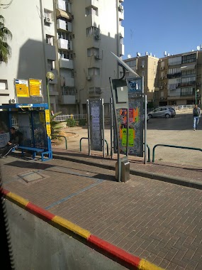
Bus station nearby בן פורת/ראשונים
Israel
Bus station nearby בן פורת/ראשונים
בן פורת/ראשונים
אור יהודה, ישראל
contacts phone
:
+972
Latitude:
32.028344
, Longitude:
34.850767
larger map & directions
read more
nearest Bus station
66 m
Ben Porat Boulevard/HaRishonim
Israel
Bus station
read more
298 m
שדרות בן פורת/הל''ה
Israel
Bus station
read more
443 m
בן פורת / הל''ה
Israel
Bus station
read more
506 m
שדרות אליהו סעדון/סקלאר לו
Israel
Bus station
read more
506 m
Eliyahu Sa'adon Boulevard/Sklare Loo
Israel
Bus station
read more
511 m
מרכז מסחרי/יחזקאל קזז
Israel
Bus station
read more
511 m
Commercial Center/Yehzekel Kazaz
Israel
Bus station
read more
603 m
Yehzekel Kazaz/Montefiore
Israel
Bus station
read more
603 m
יחזקאל קזז / מונטיפיורי
Israel
Bus station
read more
662 m
City Hall/Eliyahu Sa'adon
Israel
Bus station
read more
793 m
Lod Road/Yigal Allon
Israel
Bus station
read more
810 m
דרך לוד - נווה סביון
Israel
Bus station
read more
810 m
Lod Road - Neve Savyon
Israel
Bus station
read more
860 m
מחנה דורי/כביש 461
Israel
Bus station
read more
897 m
יהדות קנדה / אסירי ציון
Israel
Bus station
read more
897 m
Yahadut Canada/Assire Zion
Israel
Bus station
read more
914 m
Yahadut Canada/Ha'Atsma'ut
Israel
Bus station
read more
980 m
Dori Camp
Israel
Bus station
read more
1.014 km
South Gate
Israel
Bus station
read more
1.015 km
Ha'Atsma'ut Road/HaHistadrut
Israel
Bus station
read more
1.015 km
דרך העצמאות/ההסתדרות
Israel
Bus station
read more
1.077 km
יהדות קנדה/העבודה
Israel
Bus station
read more
1.139 km
דרך לוד / פארק קנדה
Israel
Bus station
read more
1.192 km
יהדות קנדה/החרושת
Israel
Bus station
read more
1.265 km
Ramat Pinkas/Road 461
Israel
Bus station
read more
📑
all categories
Accounting
Administrative area level 1
Administrative area level 2
Airport
Amusement park
Aquarium
Art gallery
Atm
Bakery
Bank
Bar
Beauty salon
Bicycle store
Book store
Bowling alley
Bus station
Cafe
Campground
Car dealer
Car rental
Car repair
Car wash
Casino
Cemetery
Church
City hall
Clothing store
Colloquial area
Convenience store
Country
Courthouse
Dentist
Department store
Doctor
Electrician
Electronics store
Embassy
Establishment
Finance
Fire station
Florist
Food
Funeral home
Furniture store
Gas station
General contractor
Grocery or supermarket
Gym
Hair care
Hardware store
Health
Hindu Temple
Home goods store
Hospital
Insurance agency
Intersection
Jewelry store
Laundry
Lawyer
Library
Light rail station
Liquor store
Local government office
Locality
Locksmith
Lodging
Meal delivery
Meal takeaway
Mosque
Movie rental
Movie theater
Moving company
Museum
Natural feature
Neighborhood
Night club
Painter
Park
Parking
Pet store
Pharmacy
Physiotherapist
Place of worship
Plumber
Point of interest
Police
Political
Post office
Premise
Real estate agency
Restaurant
Roofing contractor
Route
Rv park, camping
School
Shoe store
Shopping mall
Spa
Stadium
Storage
Store
Subpremise
Subway station
Supermarket
Synagogue
Taxi stand
Train station
Transit station
Travel agency
University
Veterinary care
Zoo
administrative area level 3
administrative area level 4
sublocality level 1
↑